


2022 Map Trekking Calendar
For 2022, we will be offering a full suite of GPS courses (2h-8h in length) from March through November.
2022 Map Trekking Calendar
For 2022, we will be offering a full suite of GPS courses (2h-8h in length) from March through November.
The 2022 NAV-X race season is here!
For 2022, we have decided to focus on producing mostly GPS courses. There are a few reasons for this. First, we might not be completely out of the COVID weeds yet as far as permitting goes. An example of this is the cancellation of Castle Peak 100 for permit reasons. Secondly, our staff is a little thinner with Dennis Wilkinson having emigrated to Texas, and WRS/Jay Hann taking a few months off to focus on his health. Lastly, one of the great things with the GPS courses is that the format allows us to go where permits are difficult or impossible to obtain. So in 2022 we are going to bring you six (6) quality courses, one of which may be in-person as a season finale.
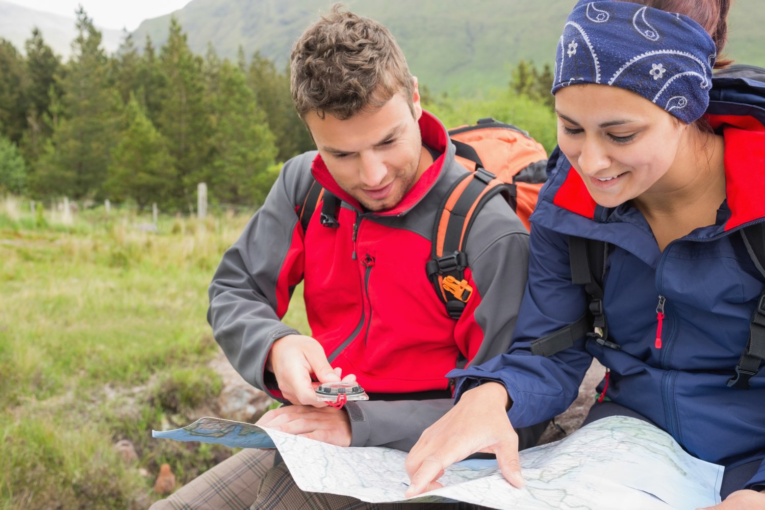
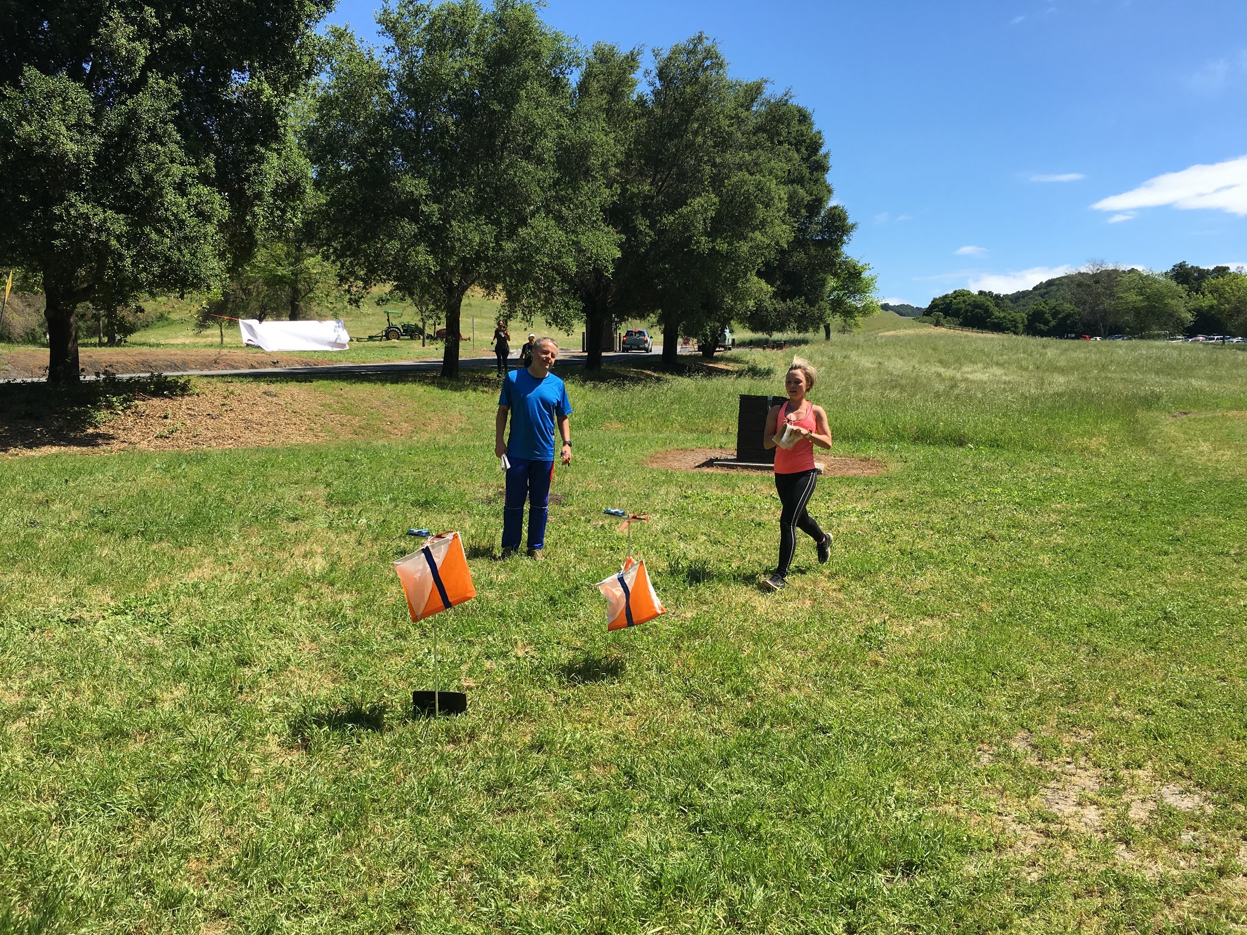
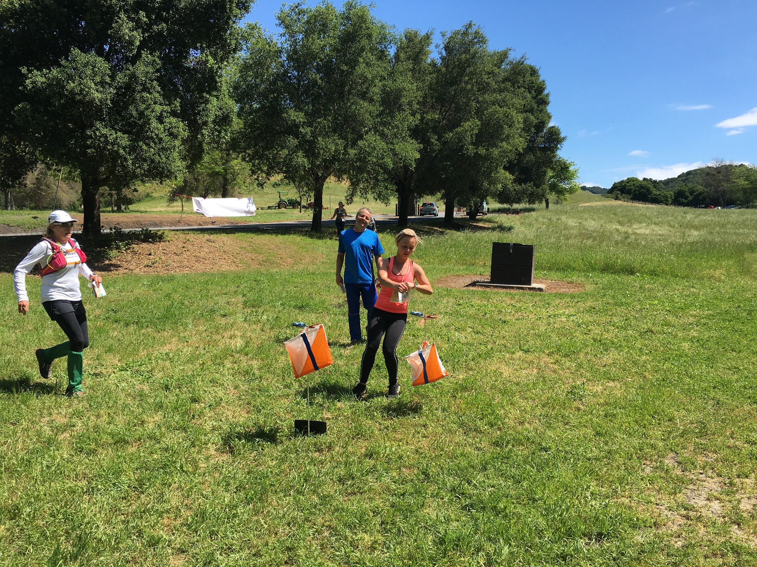
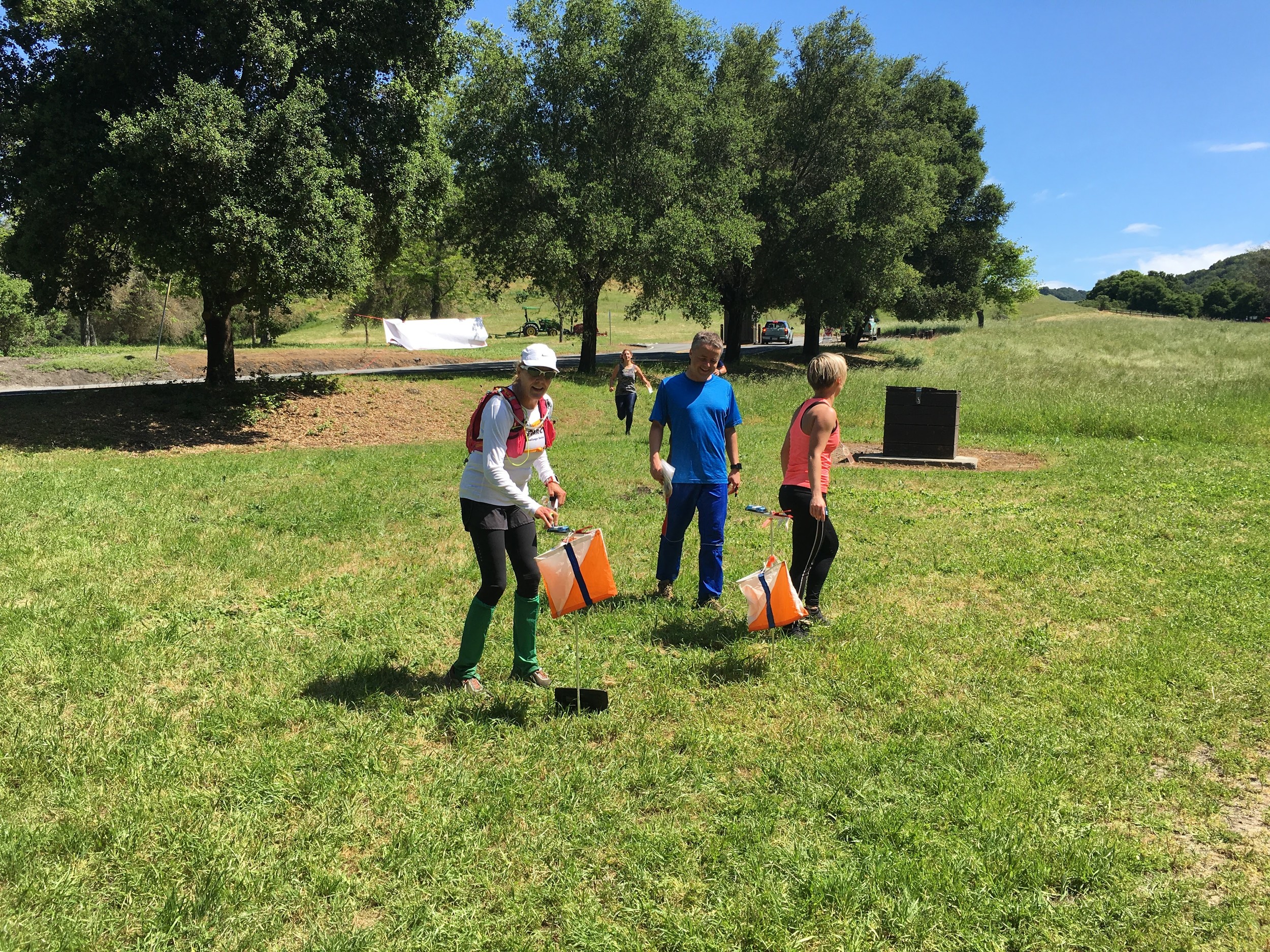
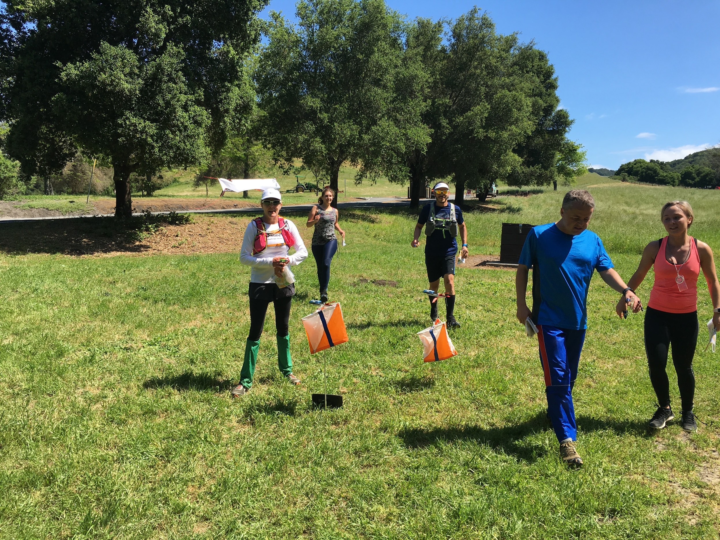
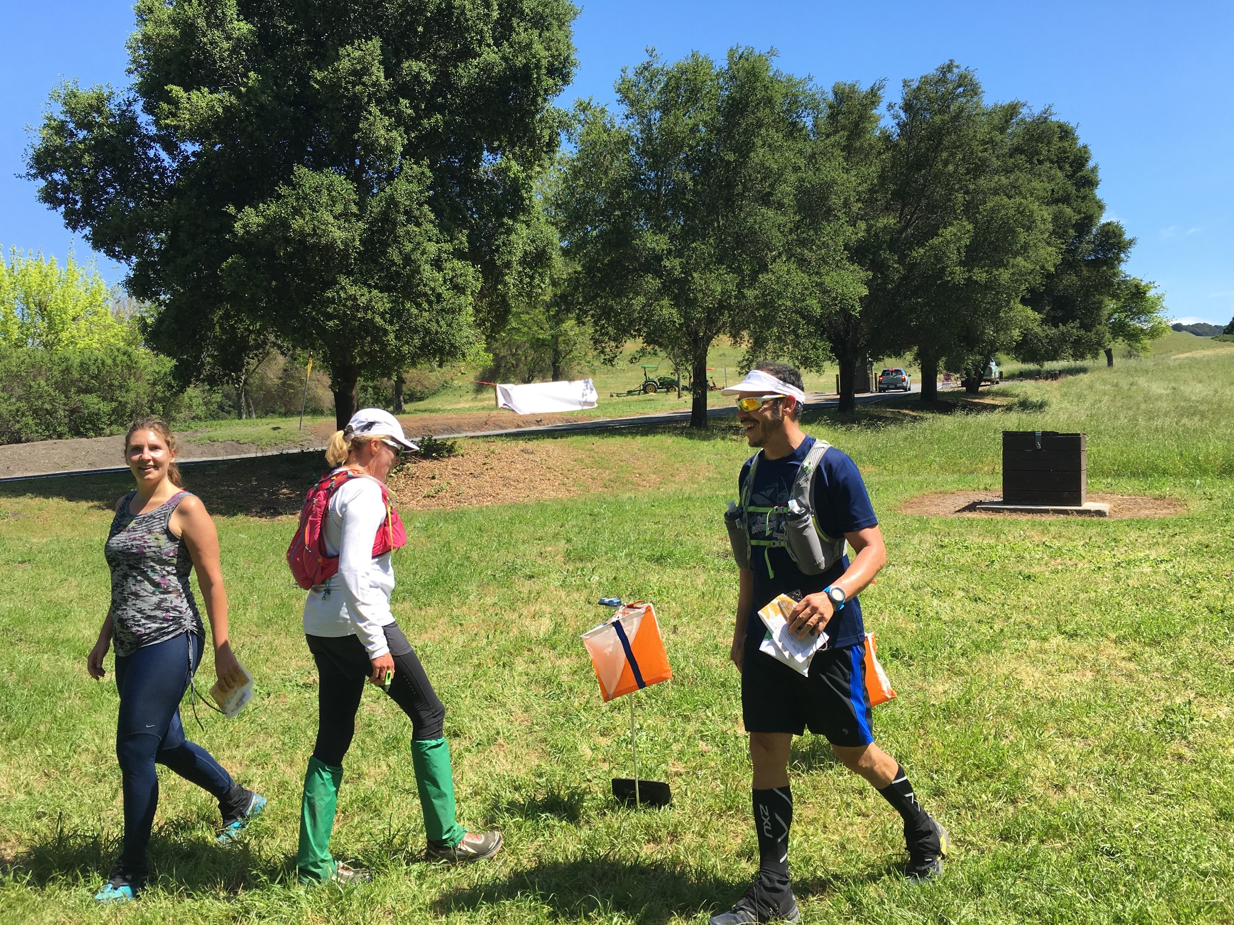
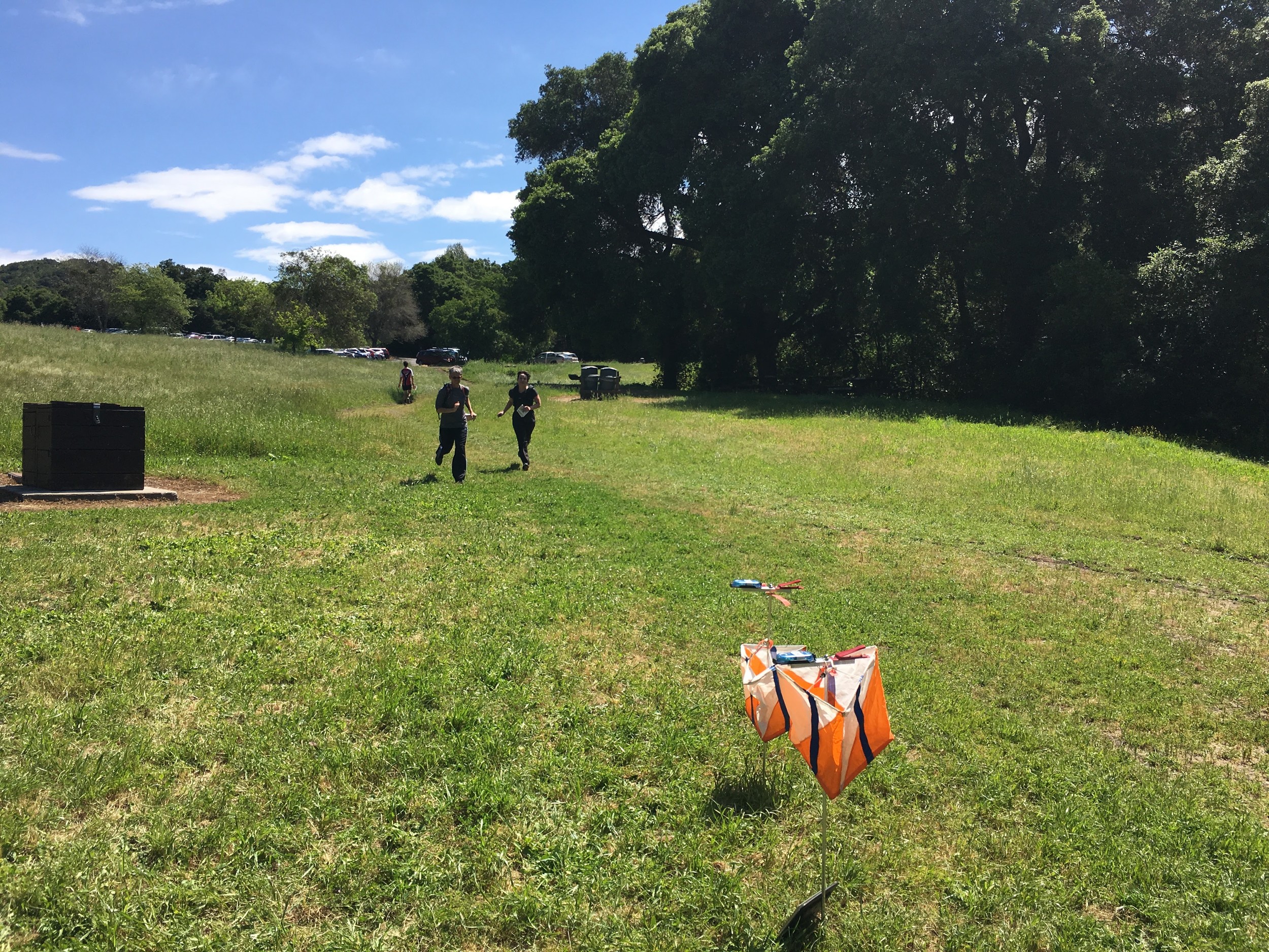
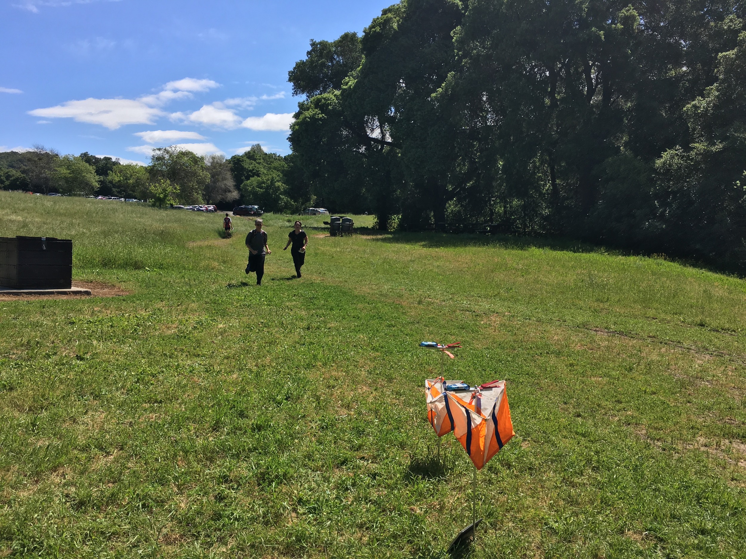
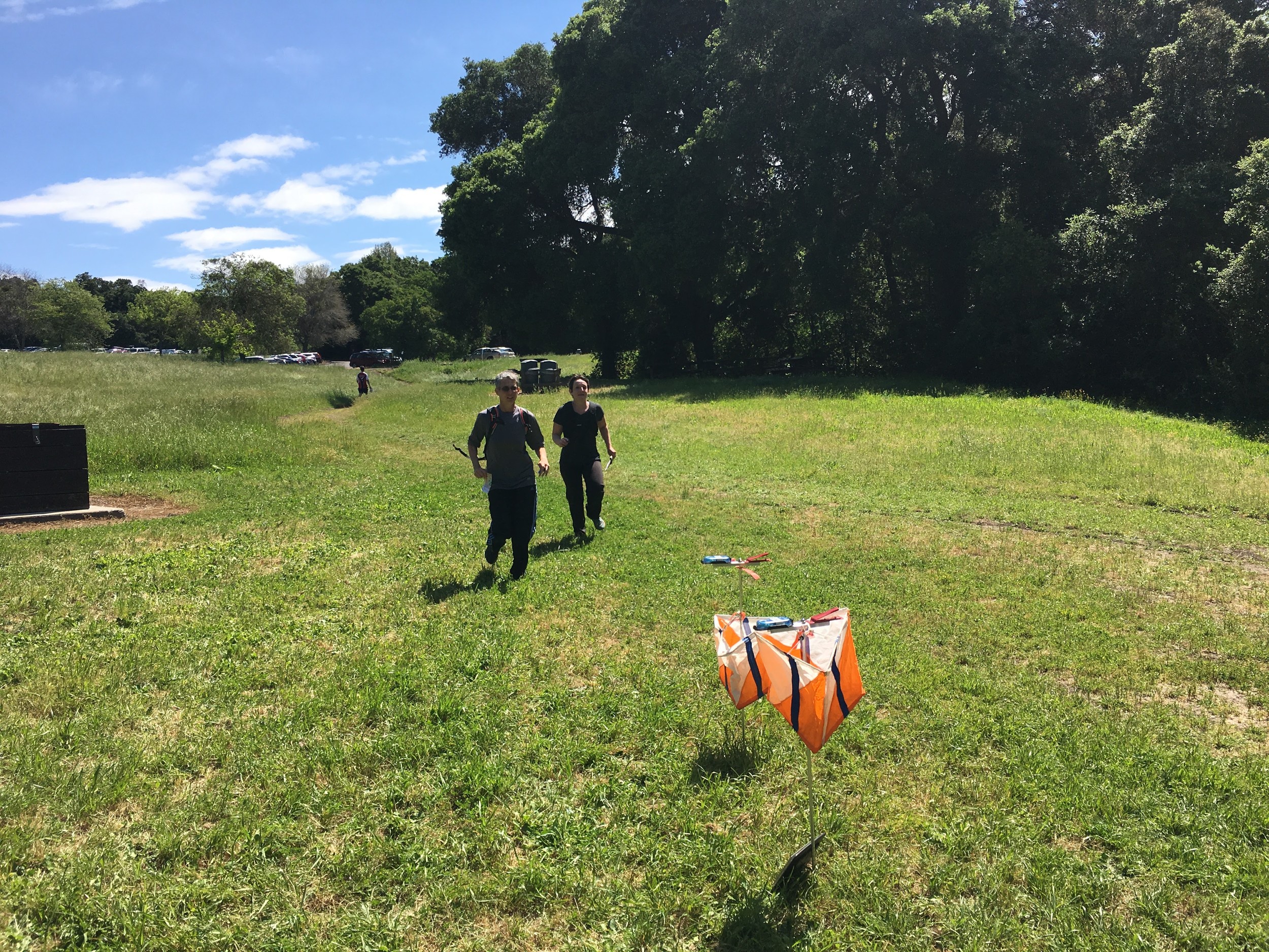
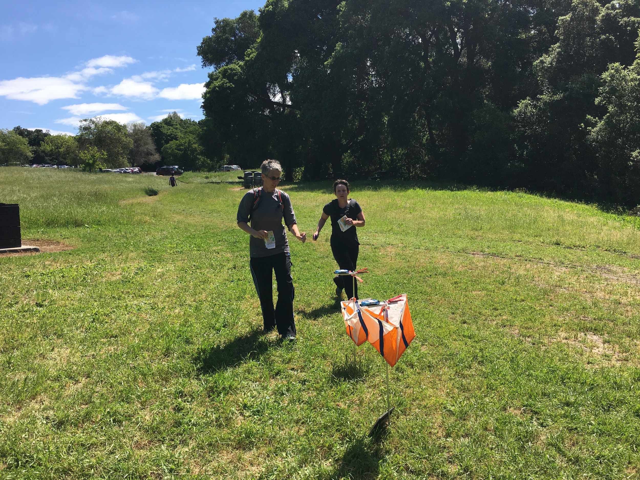
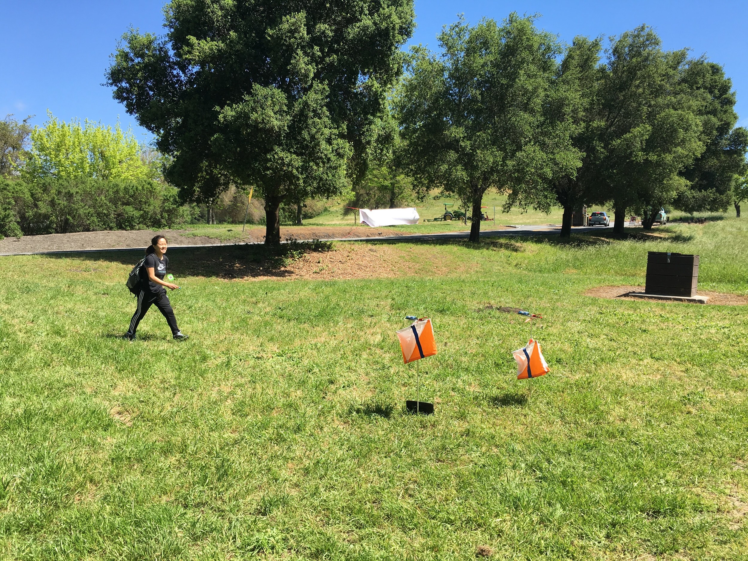
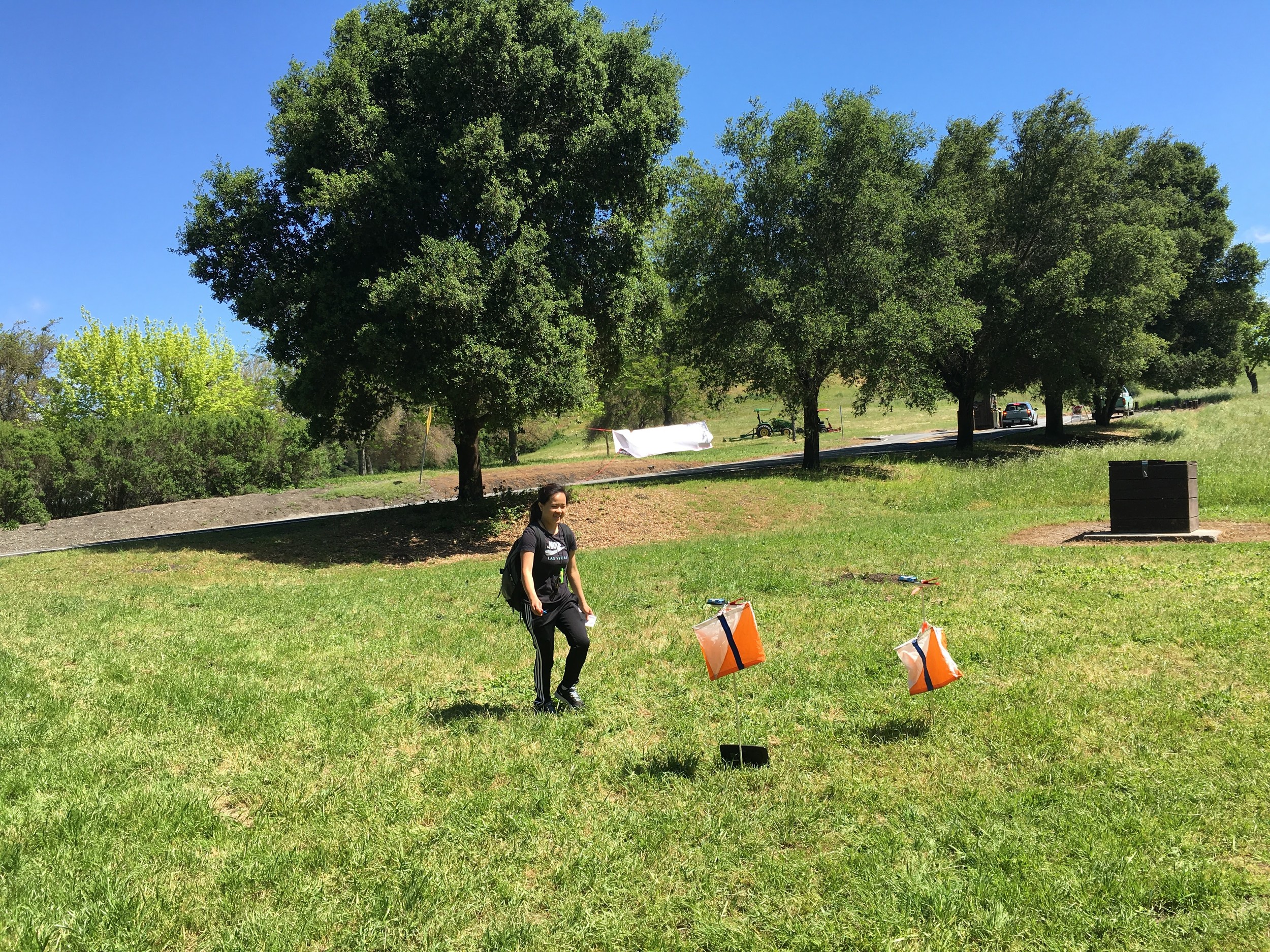
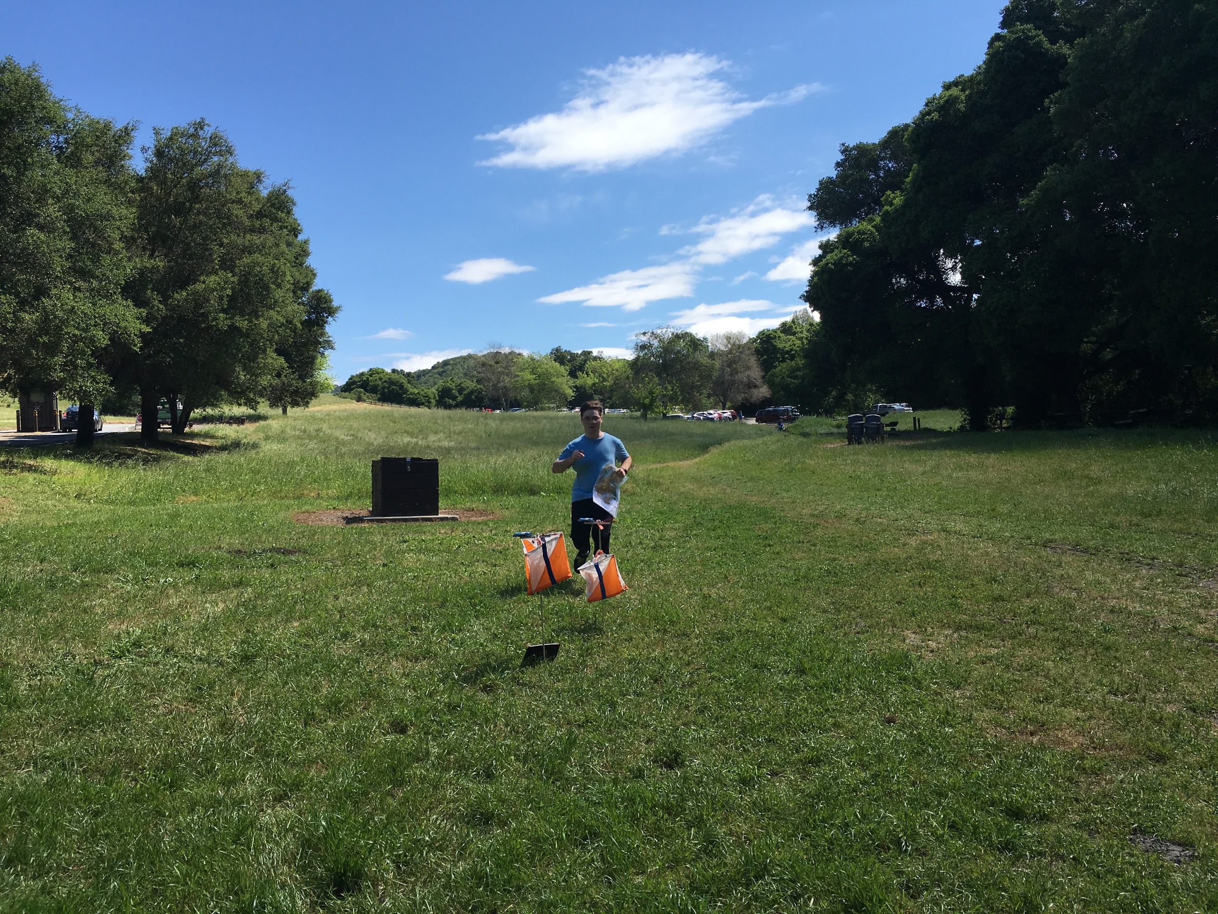
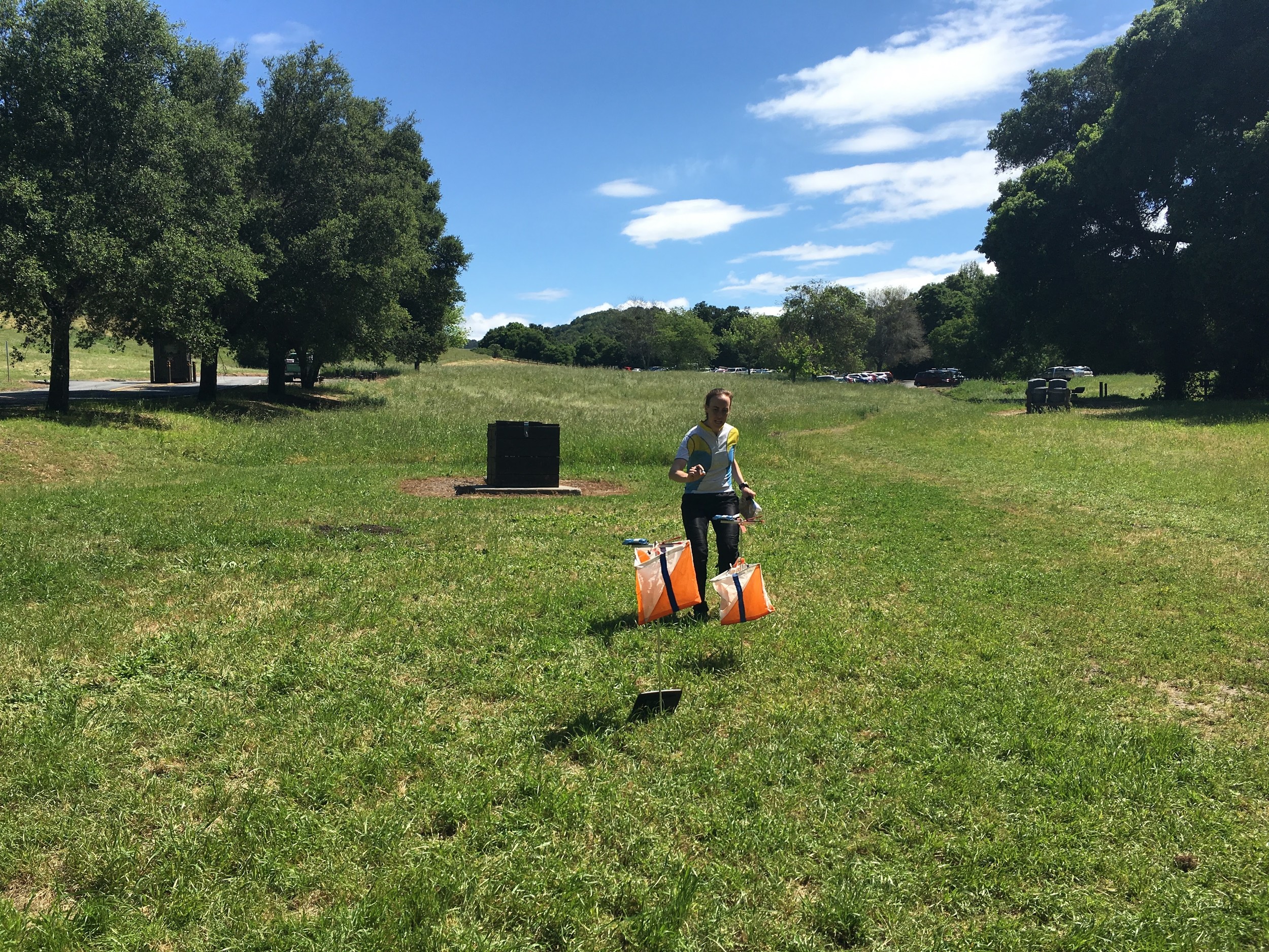
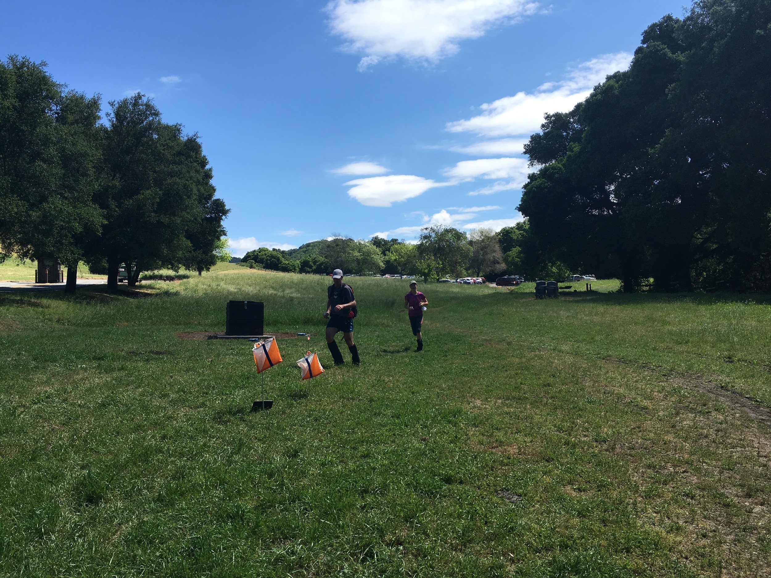
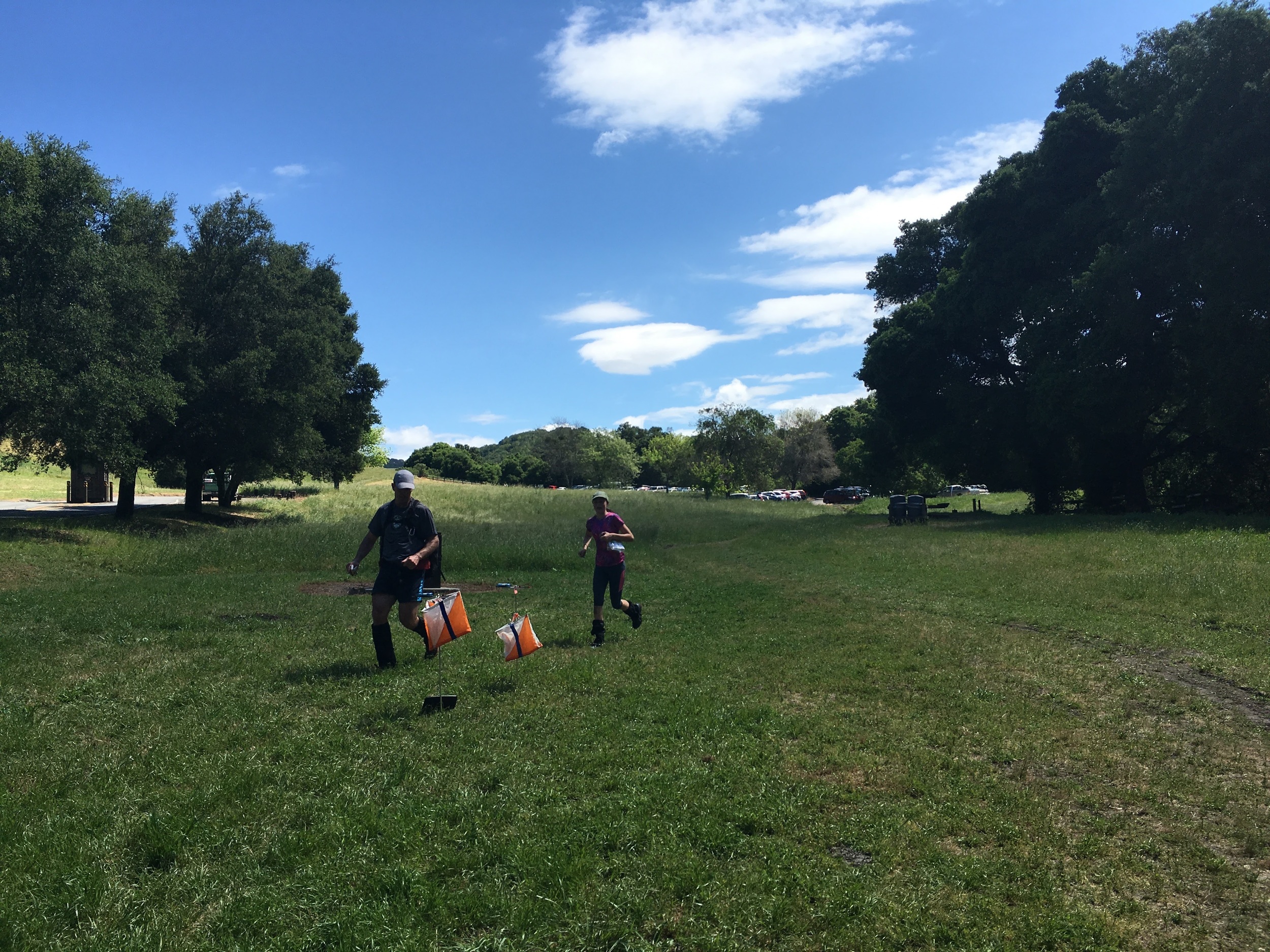
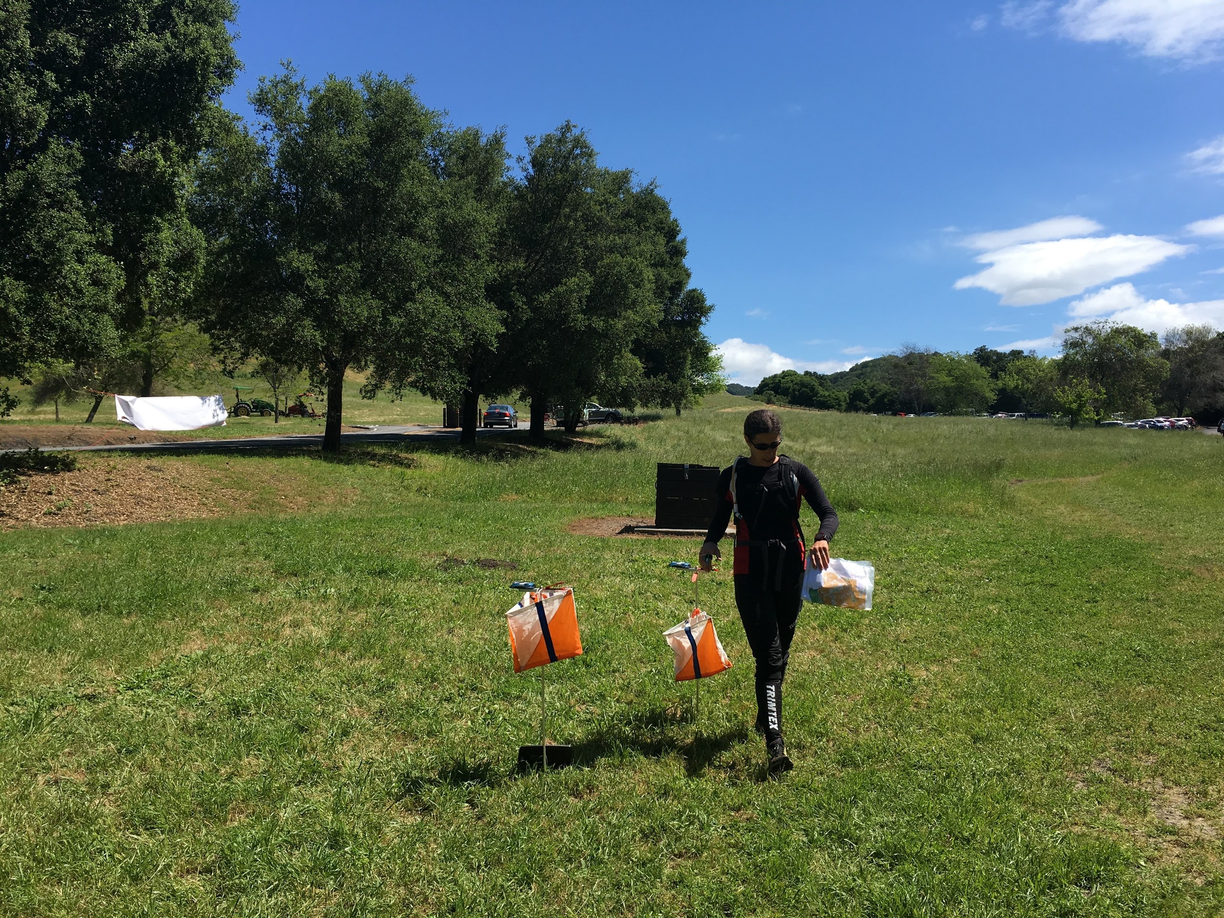
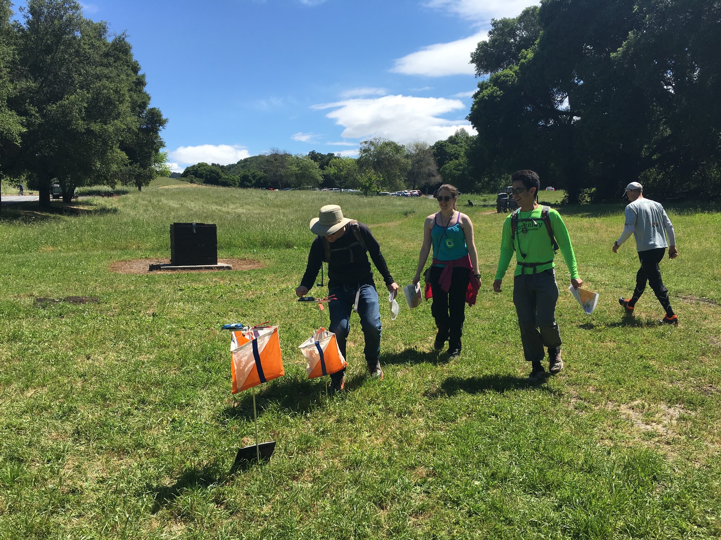
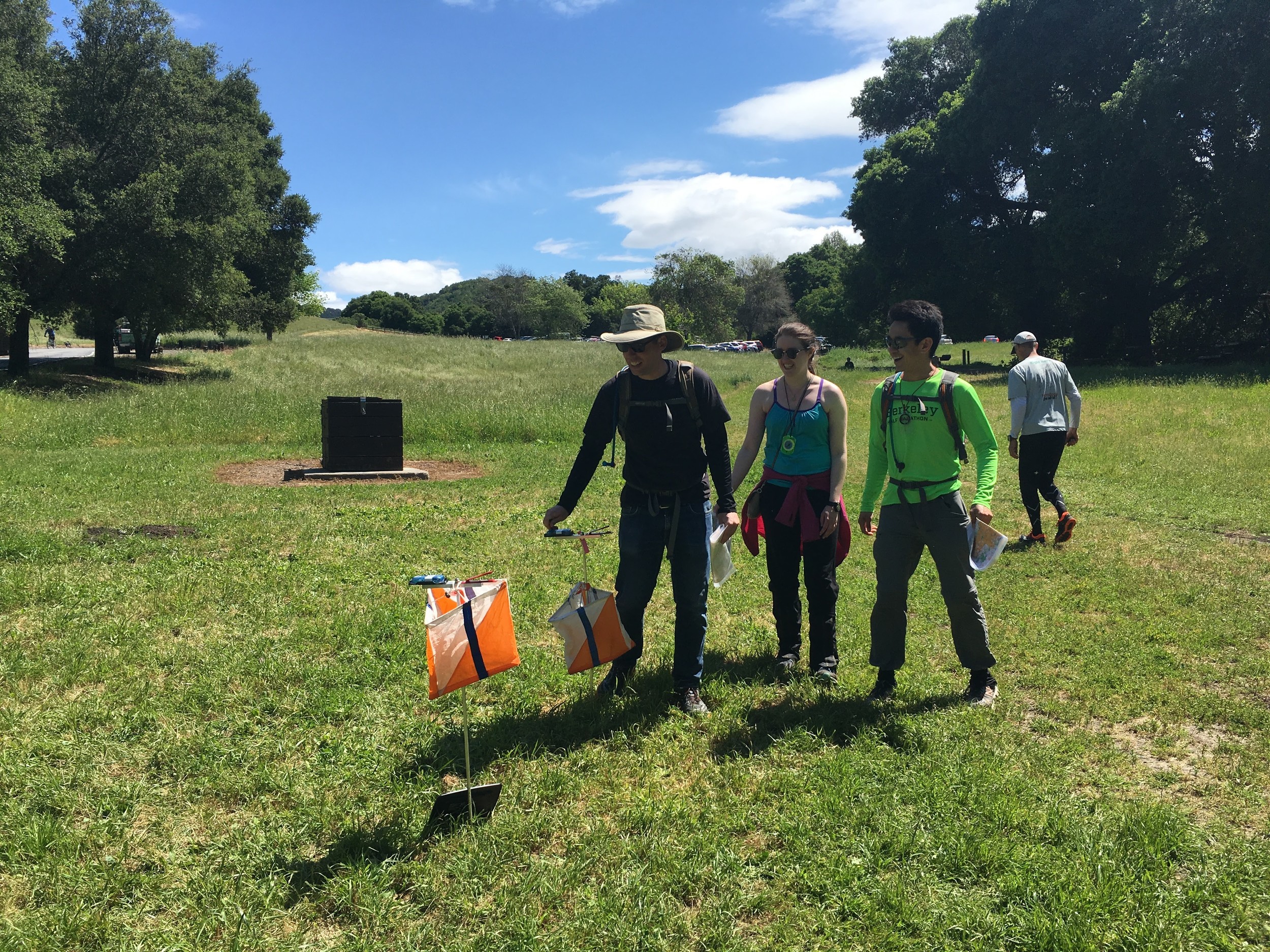
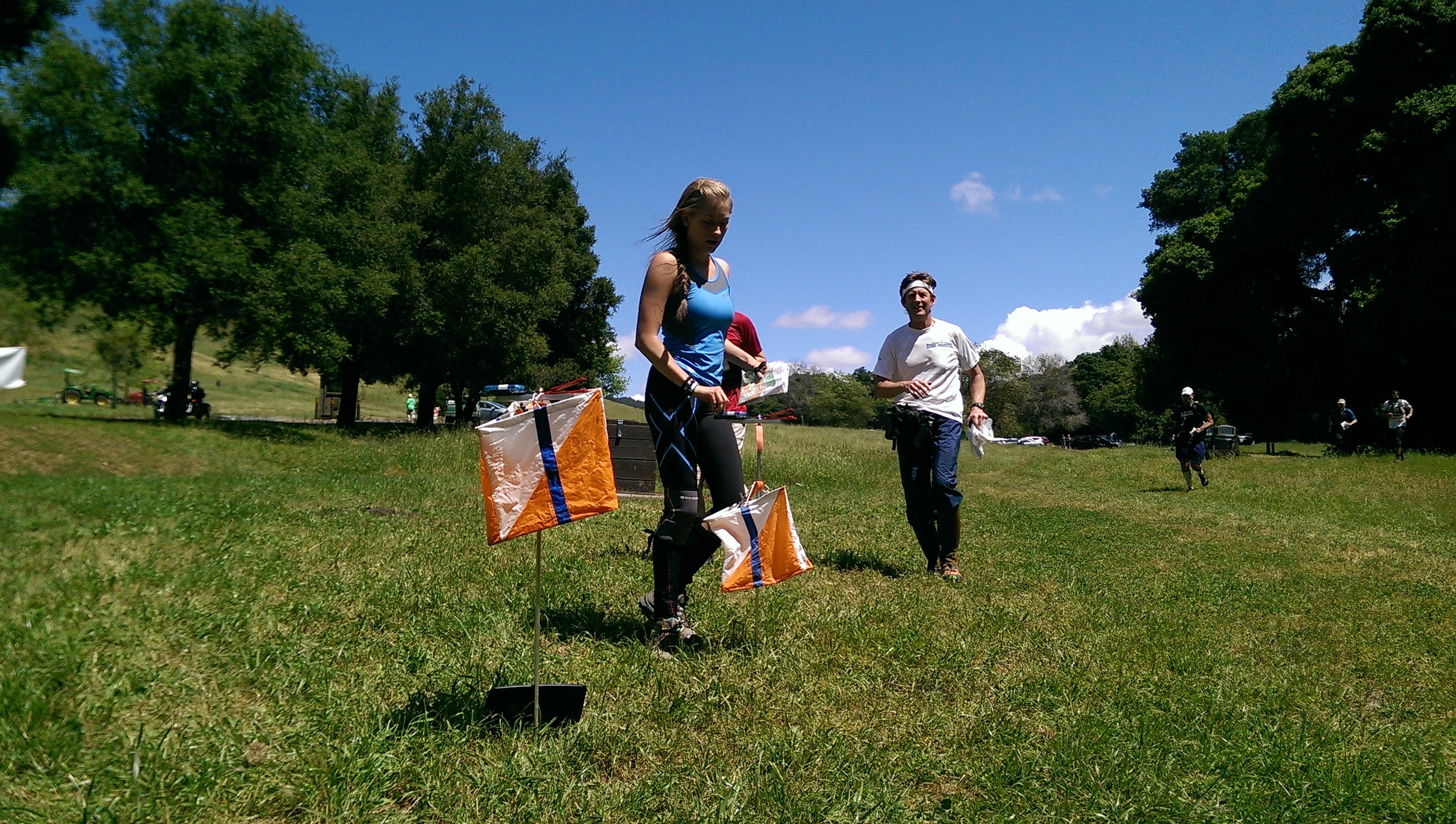
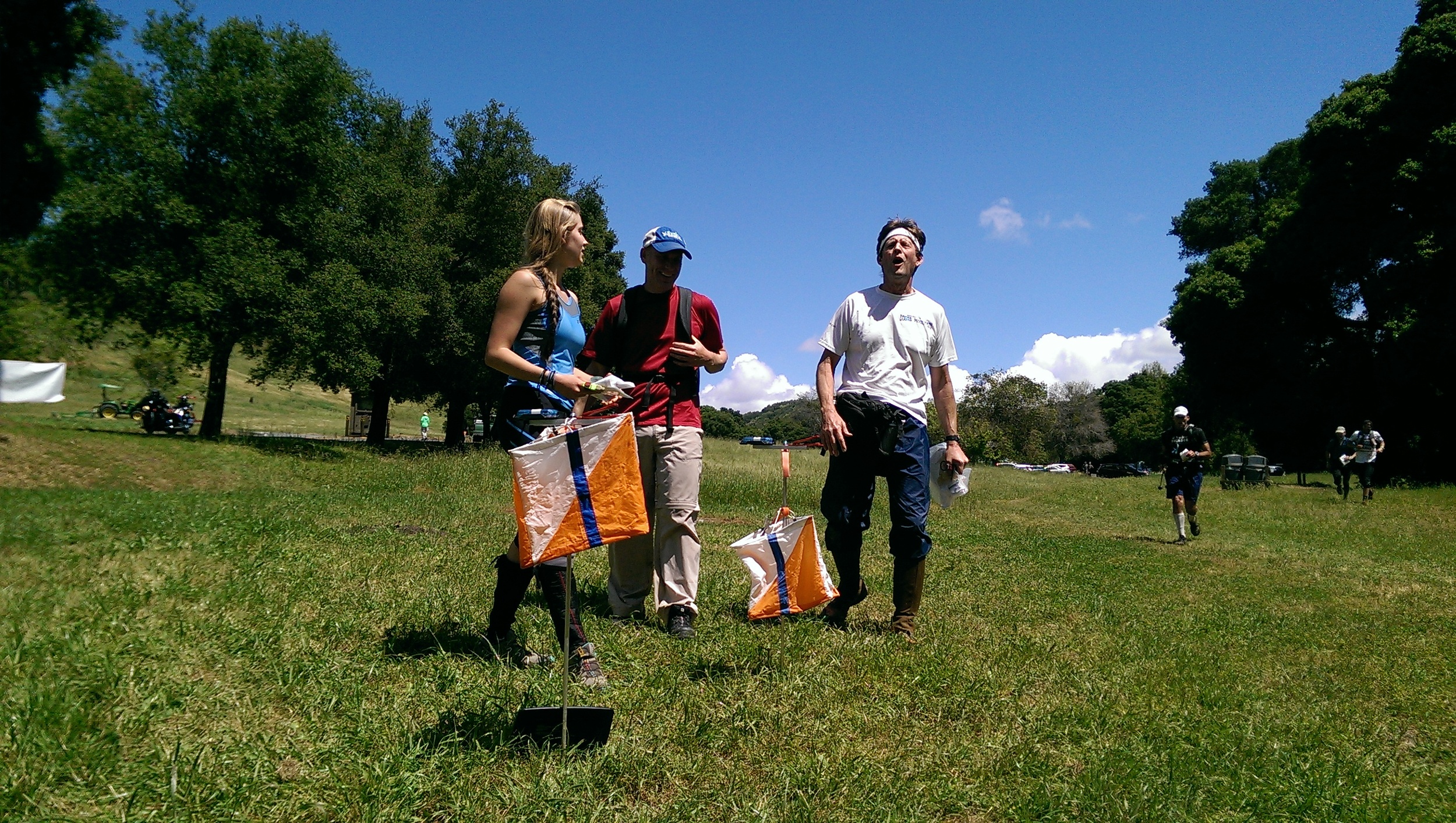
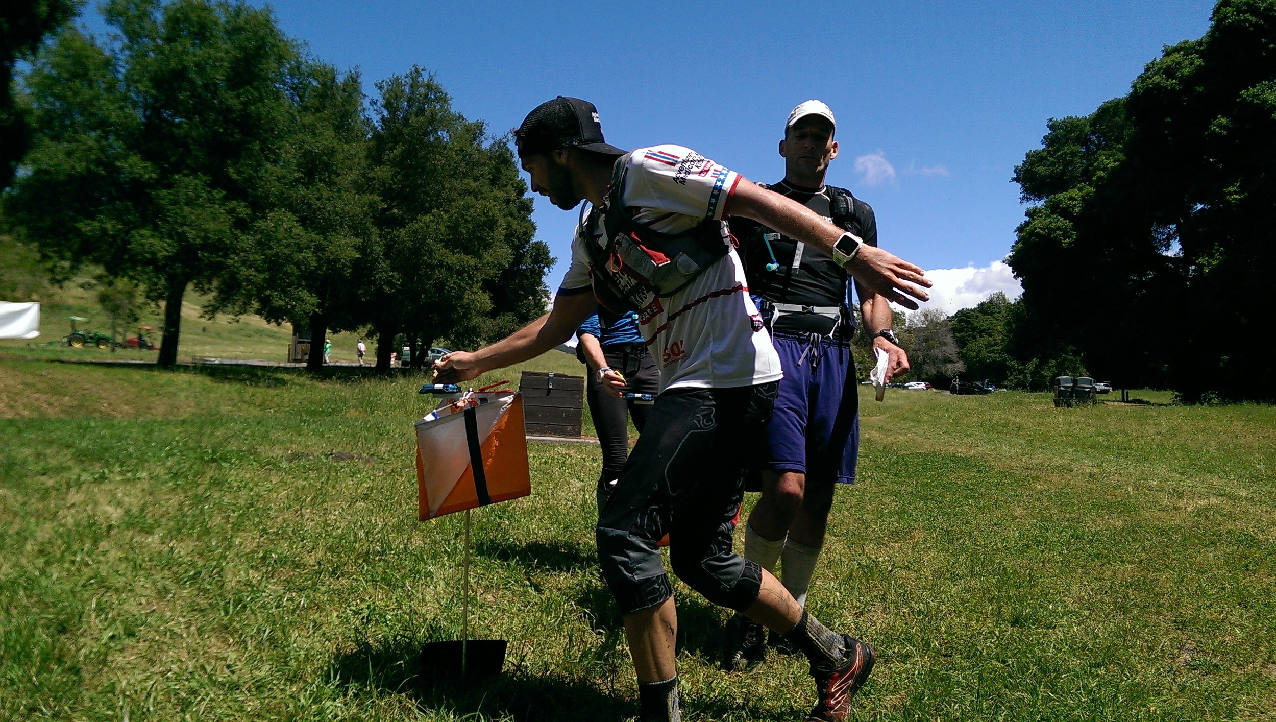
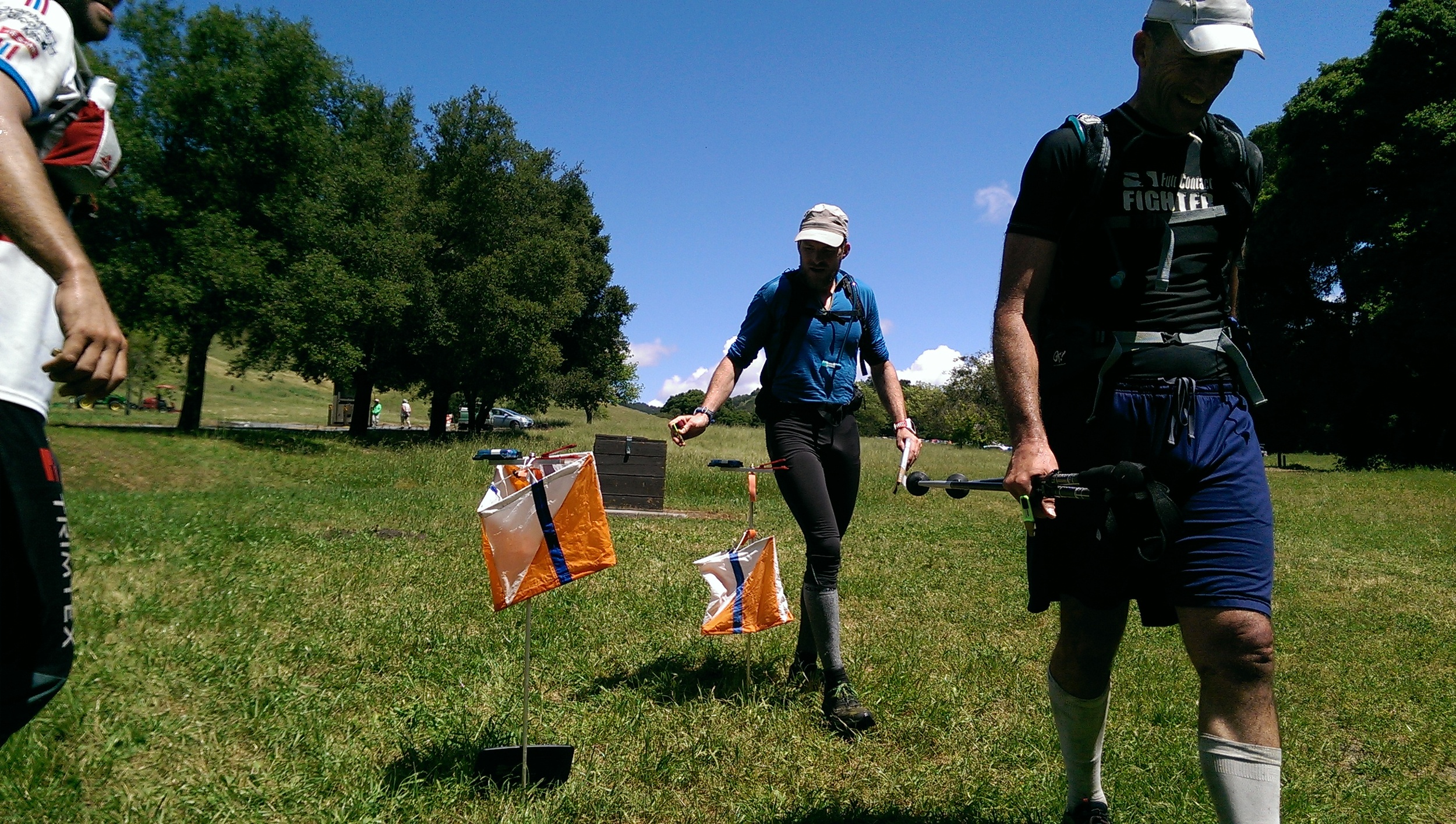
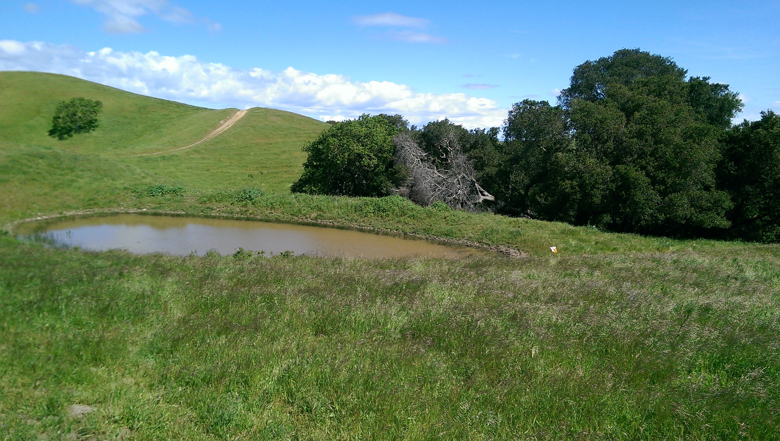
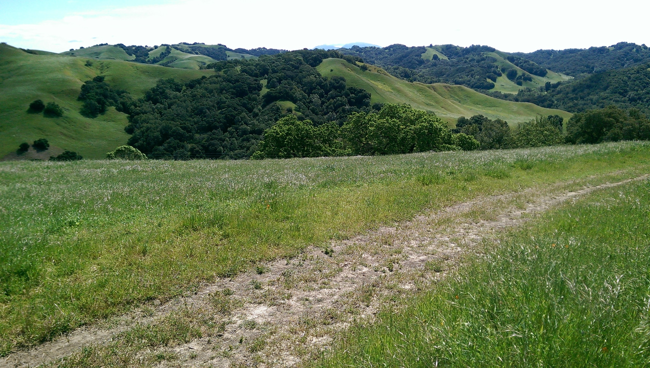
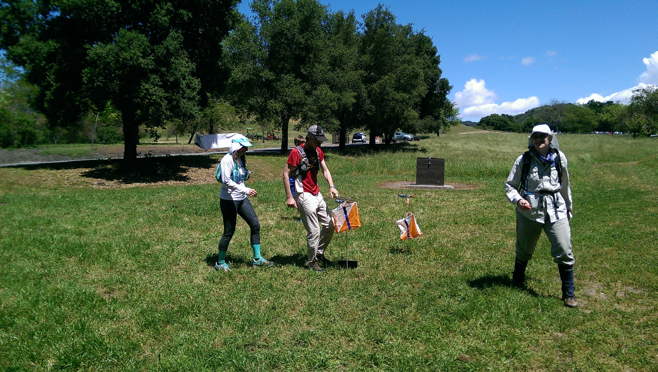
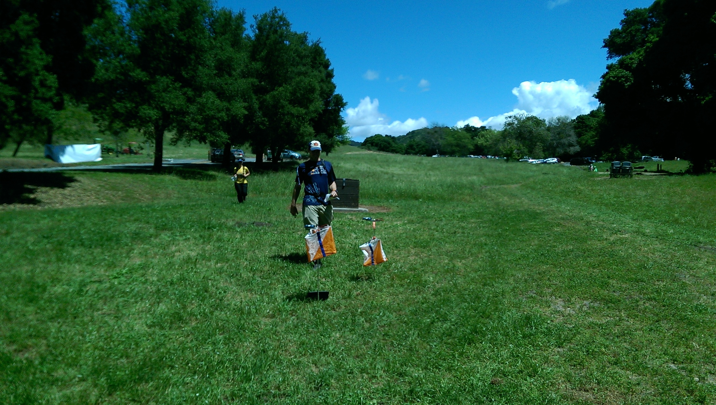
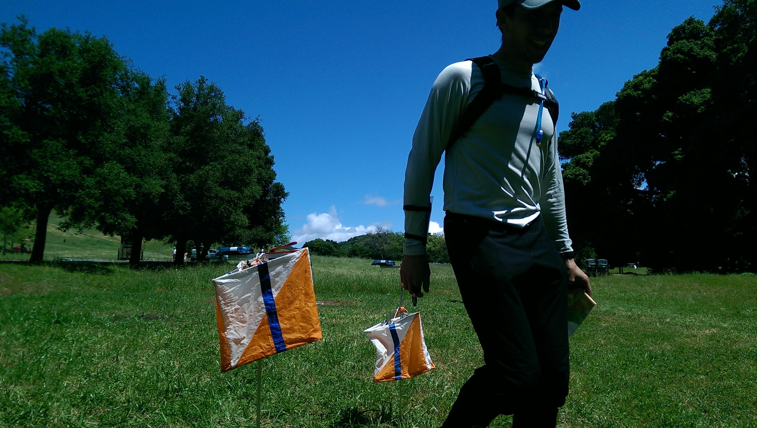
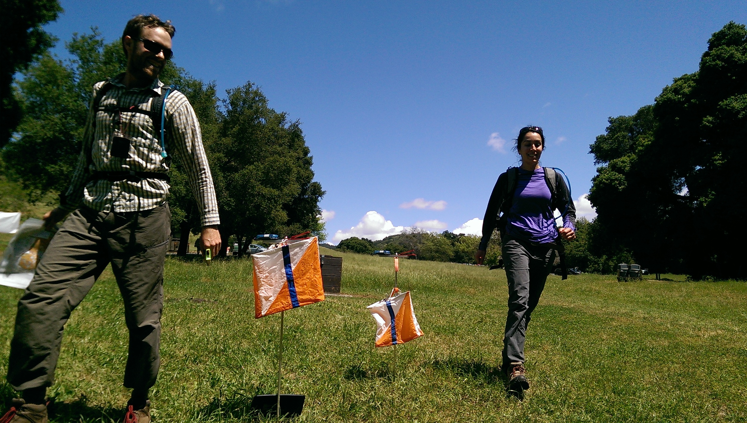
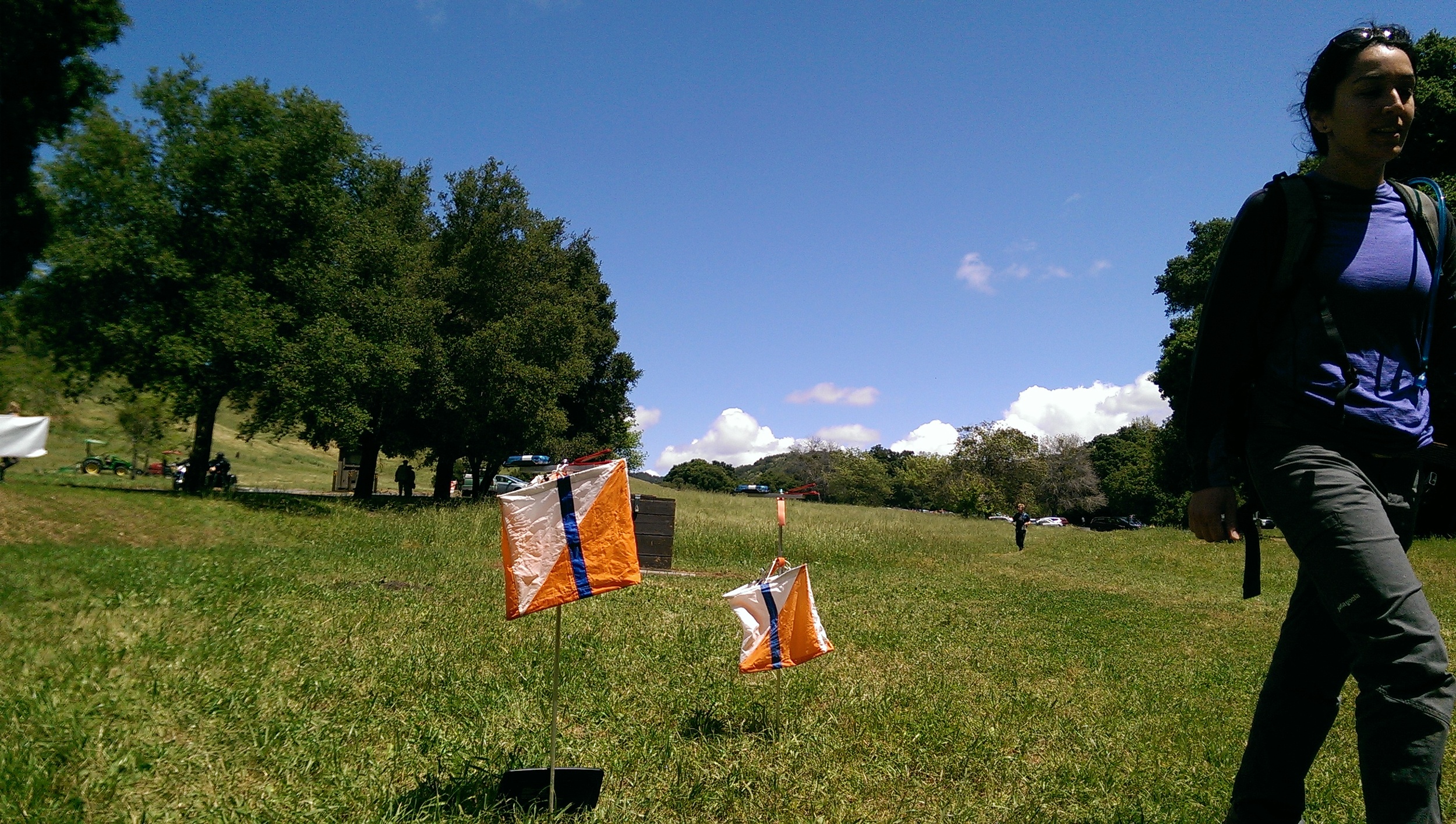
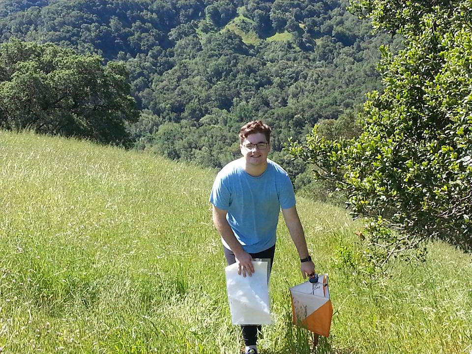
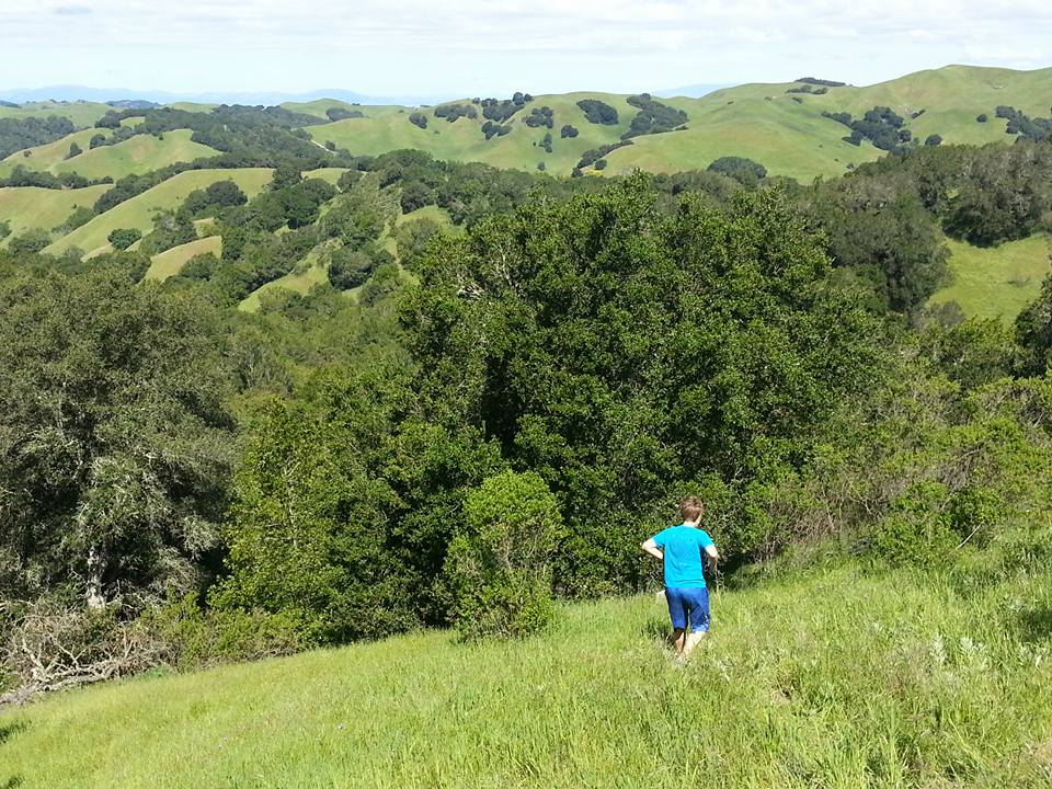
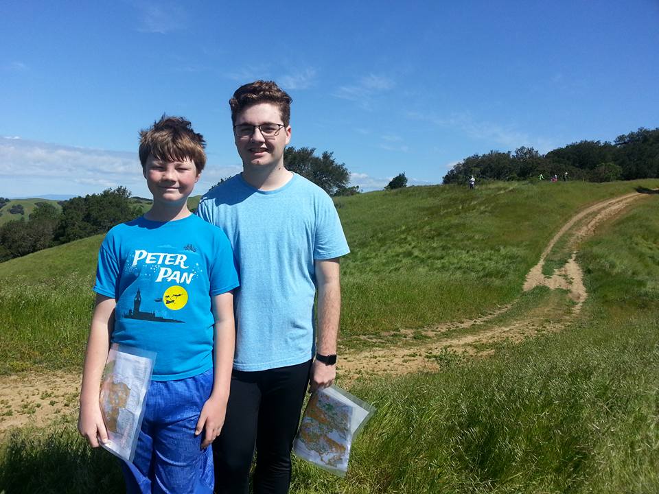
Map trekking races in beautiful places
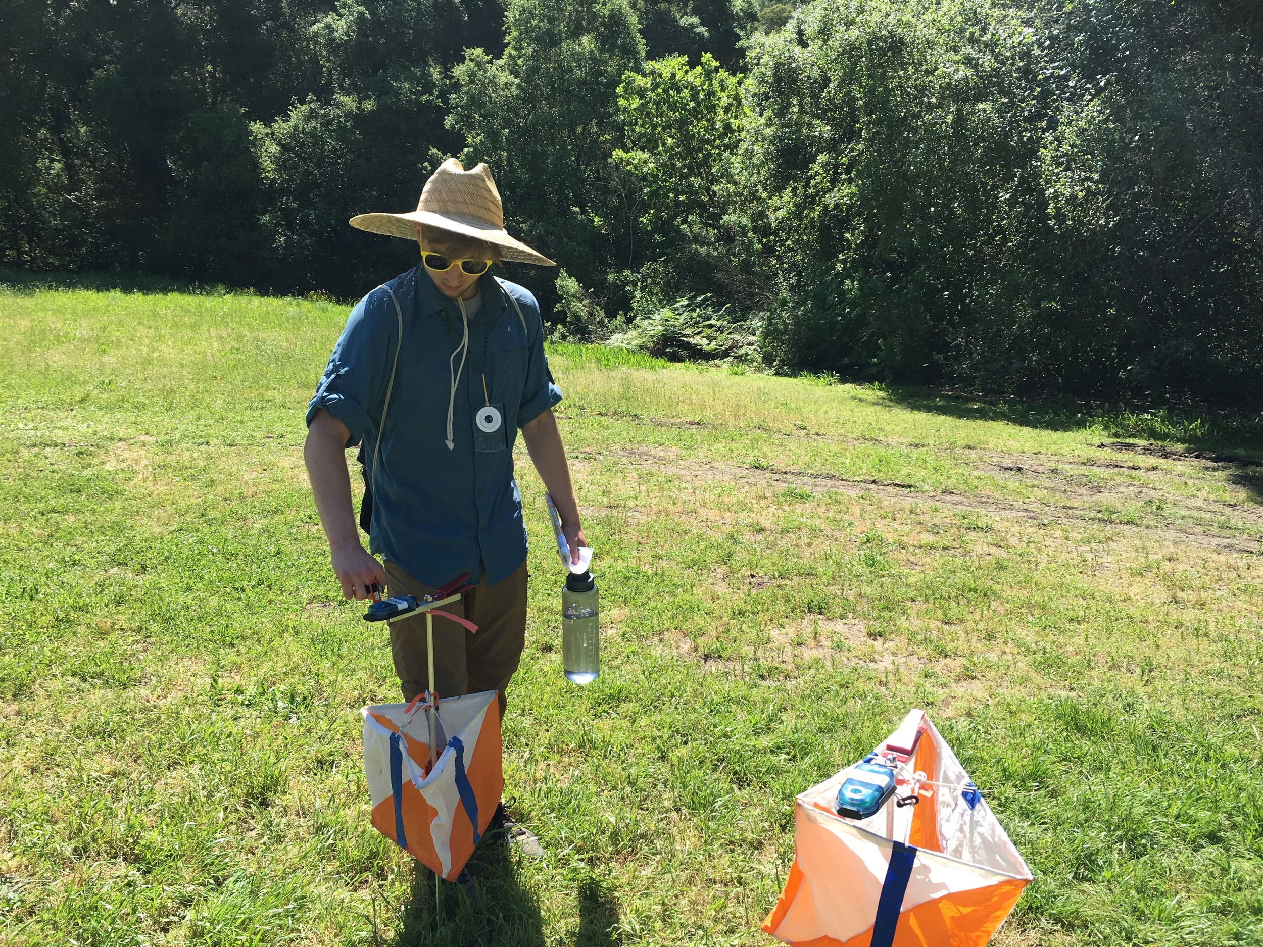
Six quality GPS courses that will test your navigation skills, stamina and wit. Race with a map, compass and smart phone.
2022 Race schedule
GPS courses are self serve. Each course is open for two months (with overlap). Pick any day during those two months to be your race day. From $12 (2h) to $27 (8h). You can register and run after the end date, but it won’t count toward official results.
March 1 - April 30: Morgan Territory (Livermore, CA) - 3h/6h GPS - REGISTER NOW - EVENT DETAILS - RESULTS
April 1 - May 31: Sonoma Valley (Glen Ellen, CA) - 2h/4h GPS - REGISTER NOW - EVENT DETAILS - RESULTS
May 1 - June 30: Las Trampas (Danville, CA) - 2h/4h GPS - REGISTER NOW - EVENT DETAILS - RESULTS
July 1 - September 30: Donner Summit (Soda Springs, CA) - 4h/8h GPS - REGISTER NOW - EVENT DETAILS - RESULTS
September 1 - November 15: Black Diamond Mines (Antioch, CA) - 3h/6h GPS - REGISTER NOW - EVENT DETAILS - RESULTS
Sun November 20*: Briones (Lafayette, CA) - 2h/4h - REGISTER NOW - EVENT DETAILS - RESULTS
*Season final event will be in-person on Nov 20, 2022, pending permits
Can you still run GPS courses from 2021?
Yes you can! But you will need to join CLUB NAV-X. For $25, you get access to all 2021 official GPS courses until the end of the year (except Black Diamond Mines - it is on the 2022 race schedule, so we don’t want people to train there), plus other perks. Here’s what you get:
Access eight (8) quality GPS map trekking courses from the 2021 series
A pair of NAV-X arm warmers (select size during sign-up)
Discounted entry fees to NAV-X 2022 official events as well as other Orienteering club events
After signing up, you will receive an email with instructions for how to access the archived 2021 courses.
Free Local Training courses
MapRunner is pretty easy to use and intuitive. But if you want to do a dry-run, we will also have a few training courses available for free in different locations, in order to allow everyone to get used to the GPS app (MapRunner) before doing a “real” course that is part of the race season. Check back here as the other training courses become available.
Peninsula/South Bay: Arastradero @ Palo Alto (1h/2h) - AVAILABLE NOW - RESULTS
Sacramento area: Mississippi Bar @ Orangevale (1h/2h) - AVAILABLE NOW - RESULTS
East Bay: Joaquin Miller @ Oakland (1h/2h) - AVAILABLE NOW - RESULTS
How Does It Work?
All you need is a smart phone running either iOS or Android. Here are the basic steps:
Before race day
Sign up online using the links in the schedule above. (you can decide on your race date later) - within 24 hours, you will receive a confirmation email with links to the map files and course instructions.
If you haven’t already done so, Install the MapRunner6 app. NOTE: If you ran Annadel, you used an older app version. You must install MapRun6 for the 2022 NAV-X season.
On your phone, load the chosen course when you have reliable Internet service.
On race day
When you are ready to start your run, open the app and walk toward the Start location until the app beeps. This starts the race clock.
Run the course - the app will beep at each checkpoint you visit. You can keep phone packed away while you run. Keep in mind the following as you run:
Be respectful of other park visitors, and practice safe COVID manners (mask, distance, etc.)
Practice Leave No Trace (LNT)
Have a safety plan (tell someone where you are going, ideally run with someone, bring first aid kit, etc.)
Run to the Finish, the app will beep, telling you that you have finished your run.
After race day
Final official results will be posted and sent out via email to all participants within a few days of the end of the month.
You can also view your splits and track in the app or online, and after the course has closed, you can also compare your checkpoint sequence, splits and GPS tracks with fellow runners (Route Gadget)
How do GPS events differ from regular events?
As with most things, there are pros and cons, and in this case there are in fact a surprising number of advantages.
What’s great about it?
Can set courses where it’s hard to otherwise have large group events
Can have Start/Finish locations better suited to the course (example Cache Creek we can Start/Finish in the middle)
Easier and less costly to organize, resulting in...
...lower race fees (much lower!)
Can do the course when it fits your schedule. Courses will be open for an entire month.
A wealth of post-race data and route analysis, including control sequence, route, time tracking on legs, etc.
What’s different/challenging?
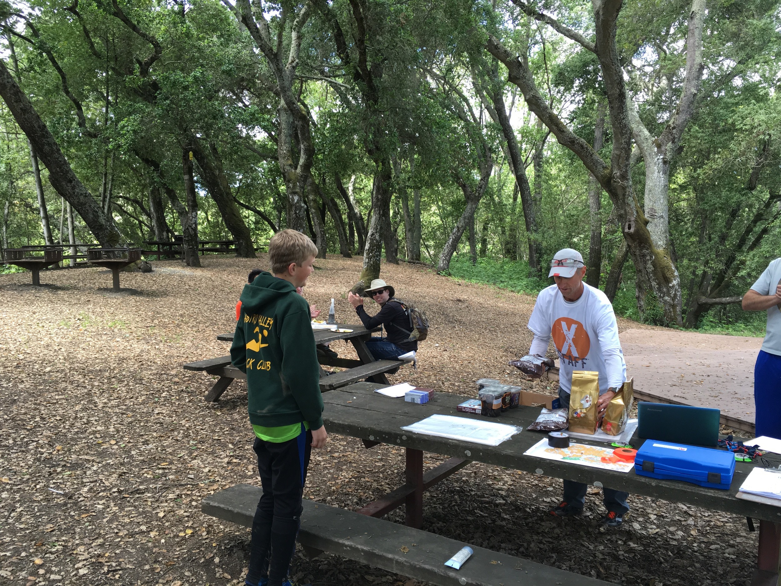
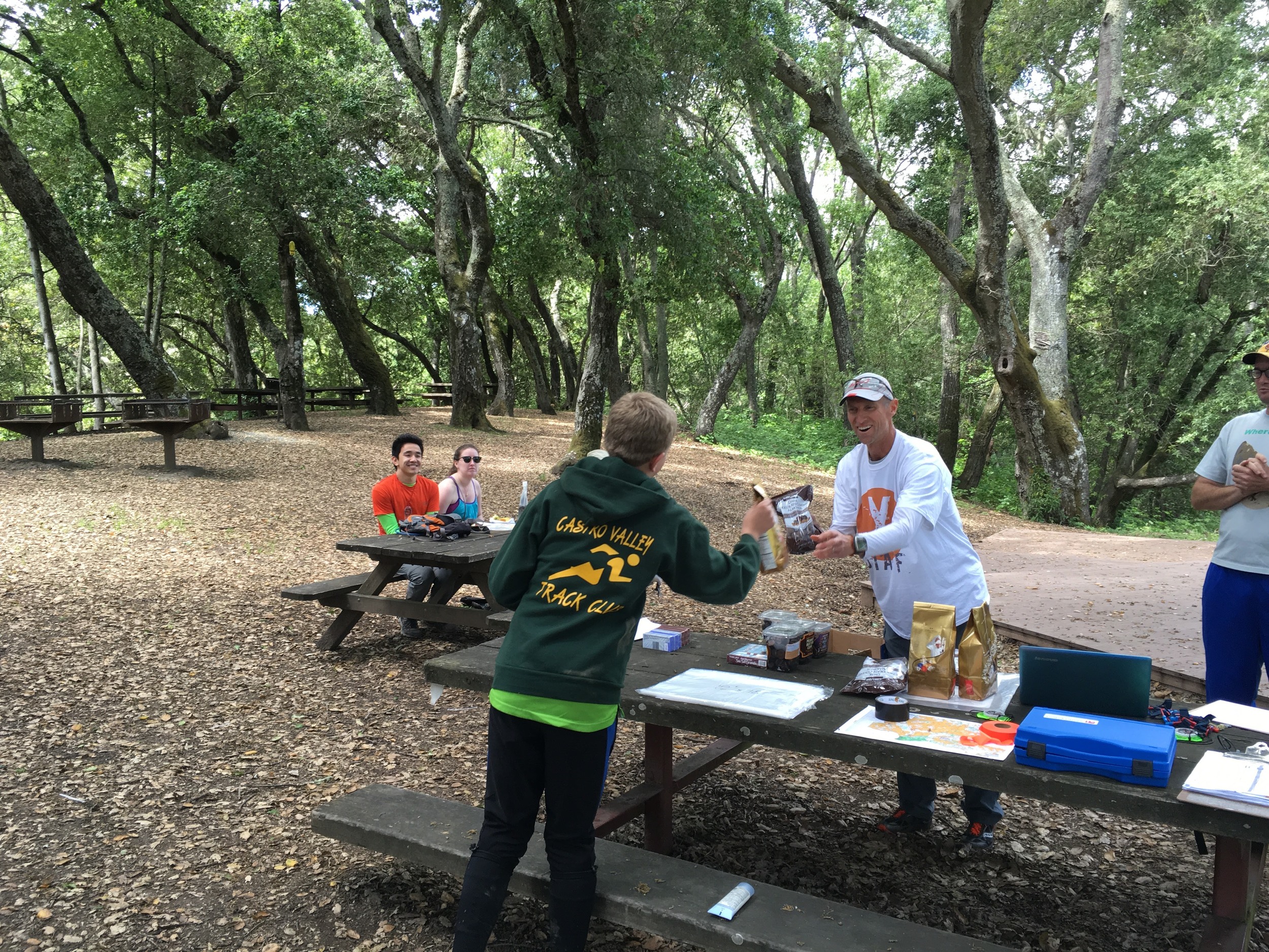
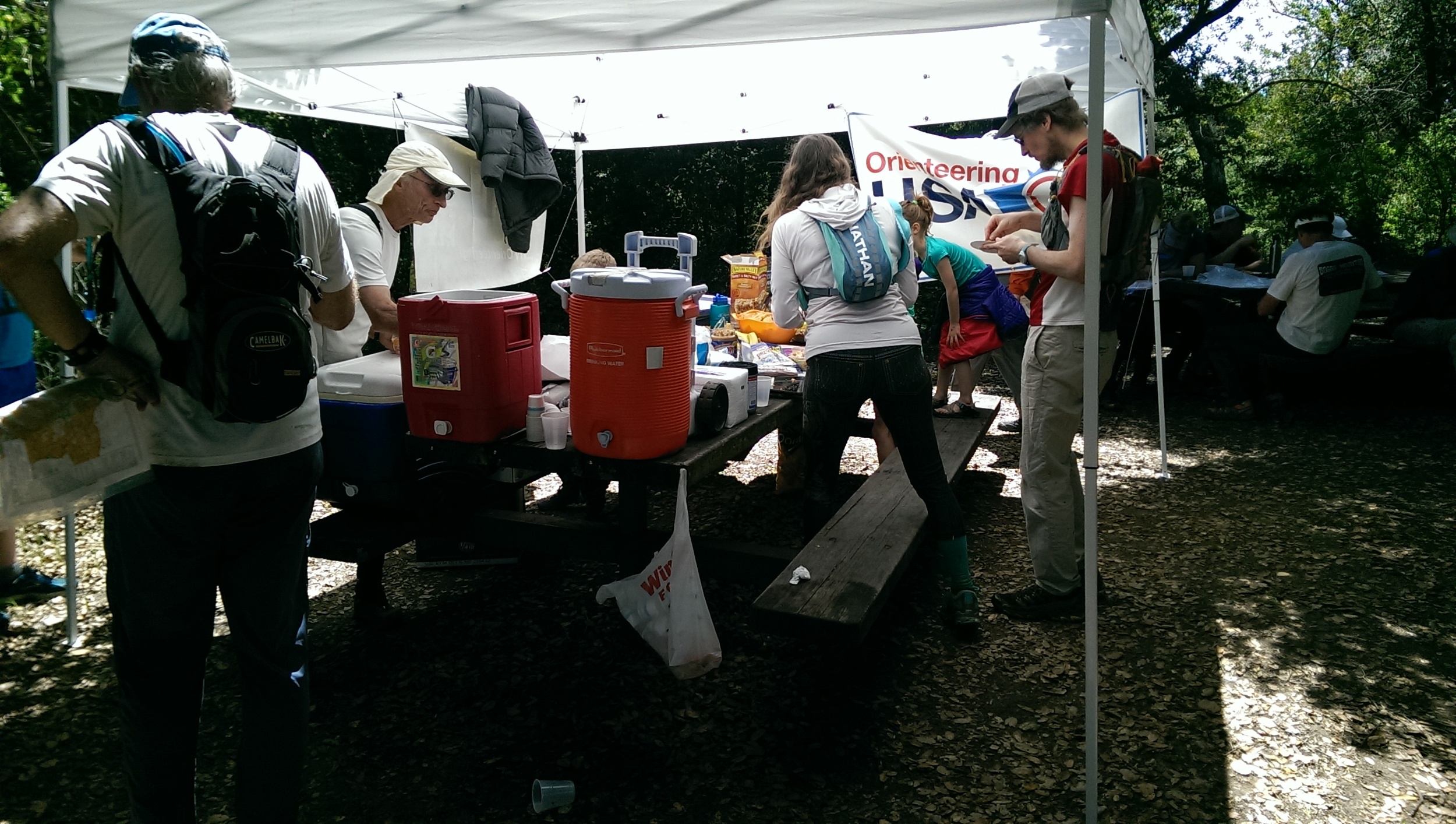
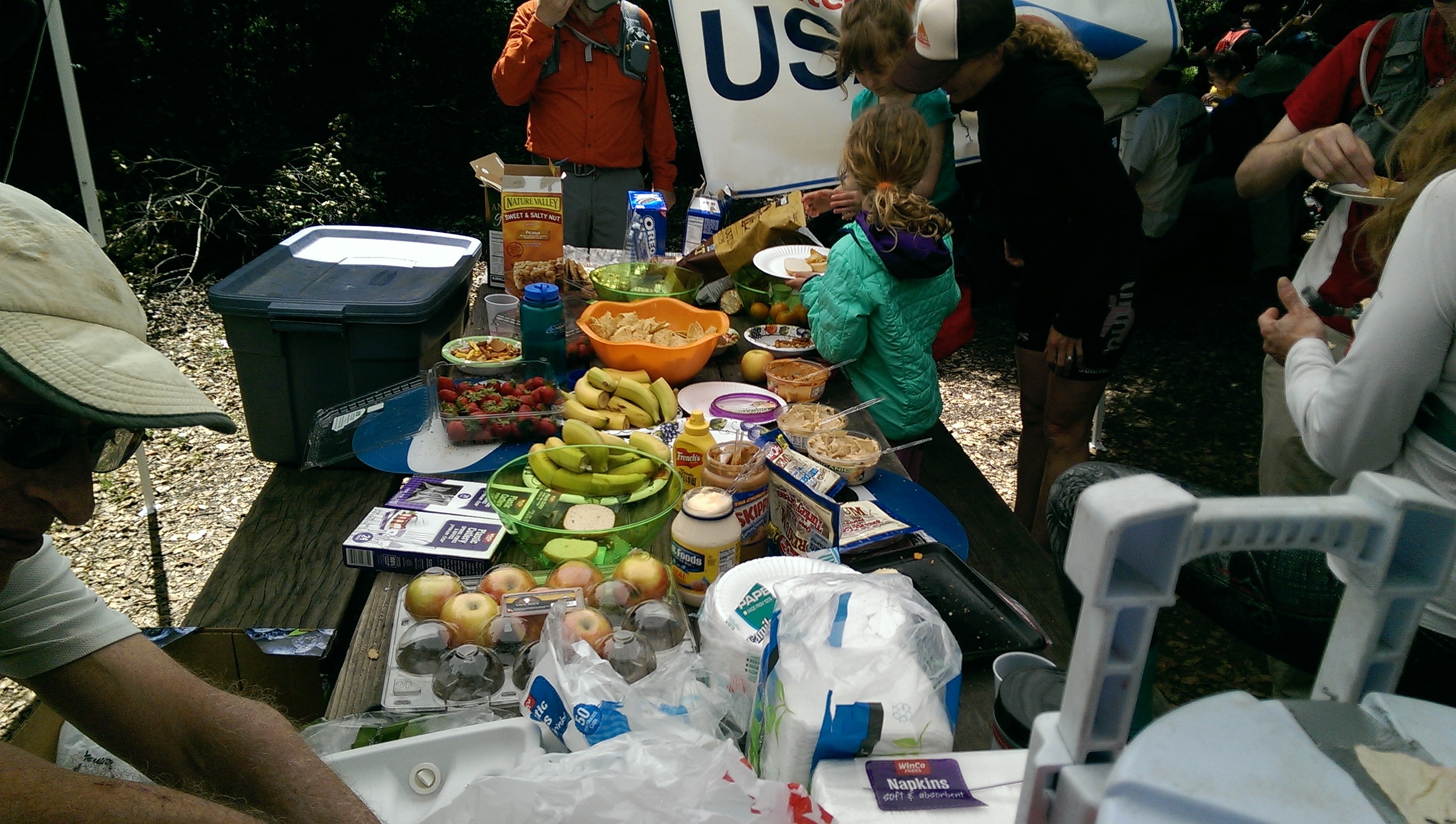
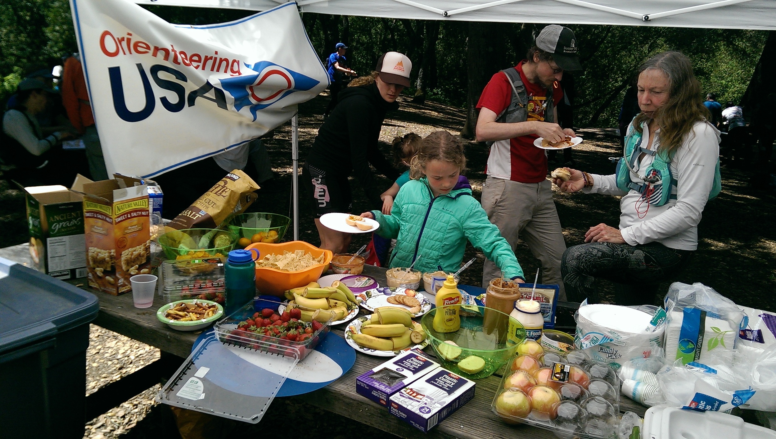
Won’t be able to socialize with other racers around the food table - you provide your own post-race food and refreshments
You have to print your own maps (we provide PDF)
We can’t enforce a time cap on route planning (this may be perceived as a benefit to some)
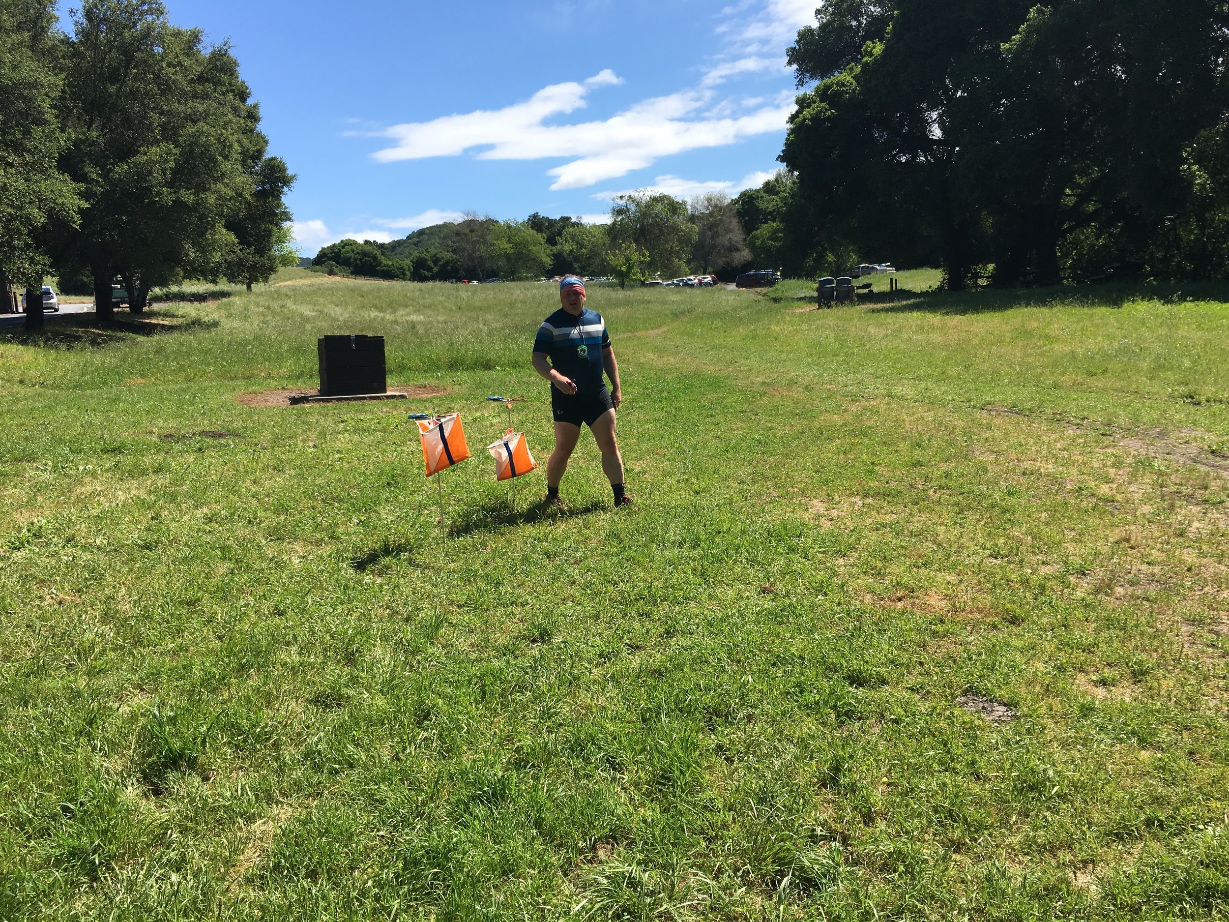
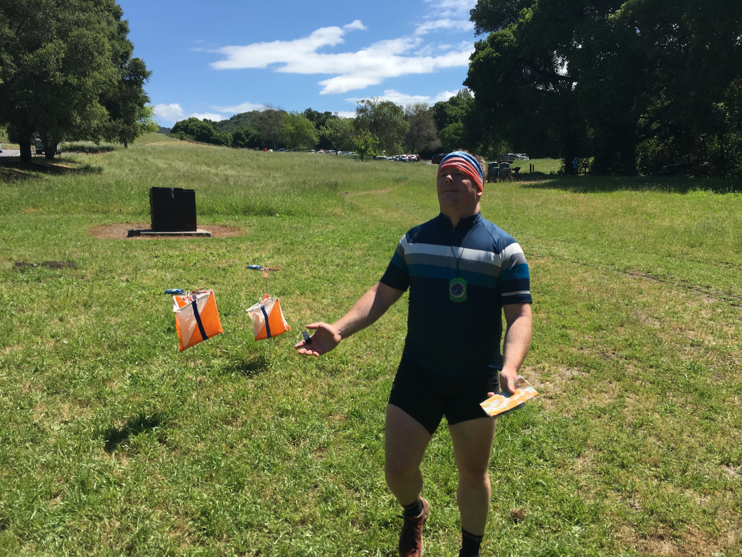
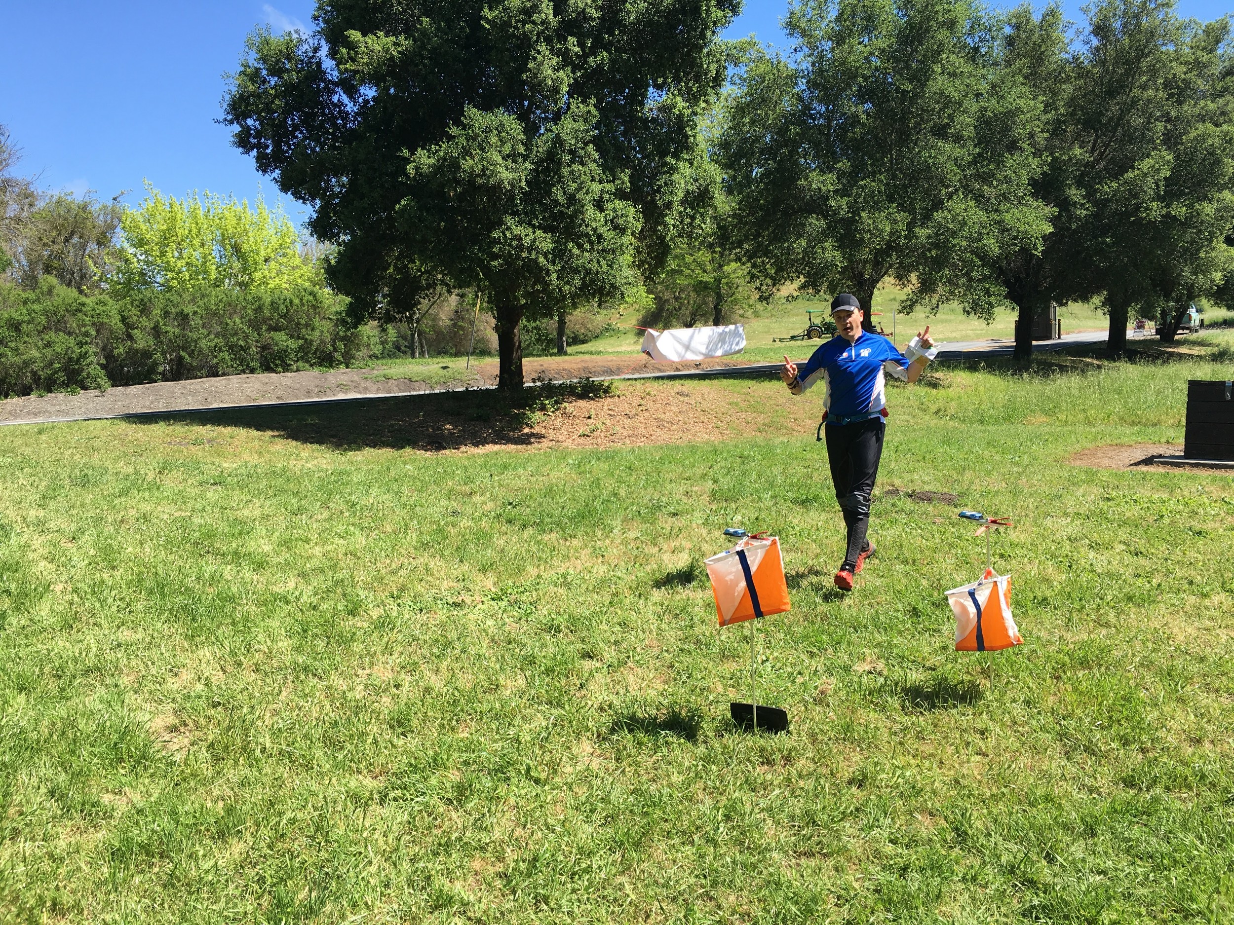
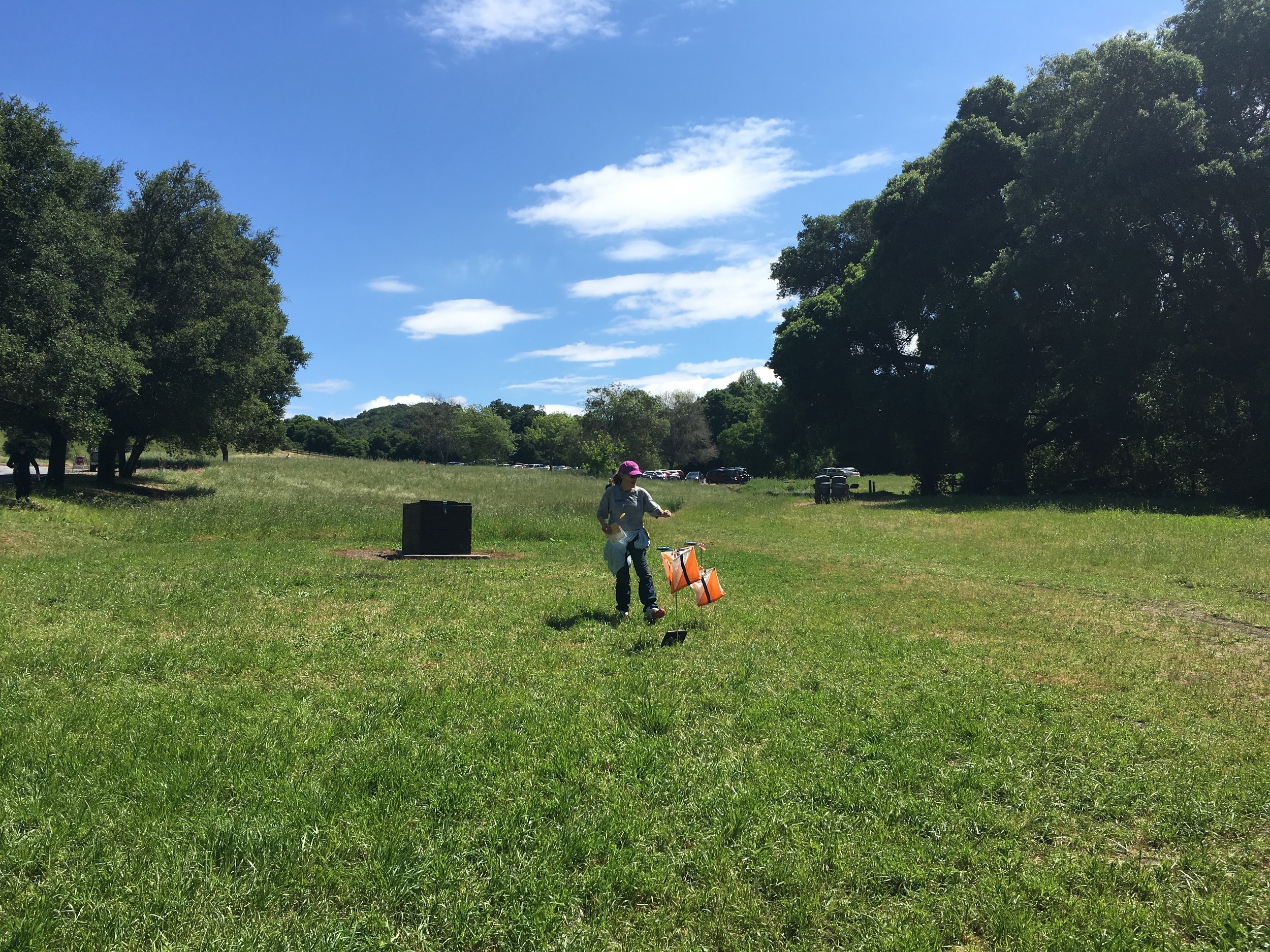
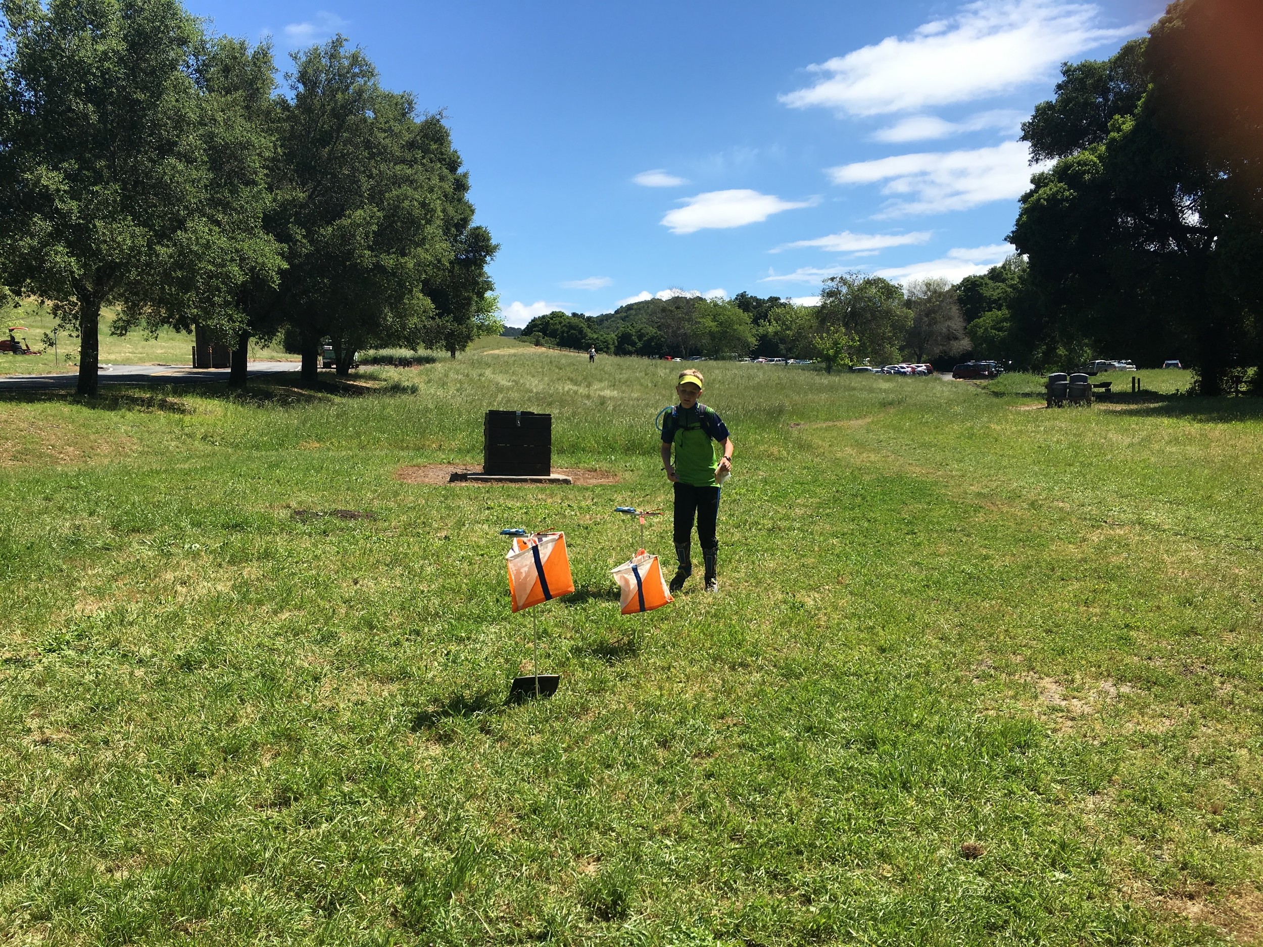
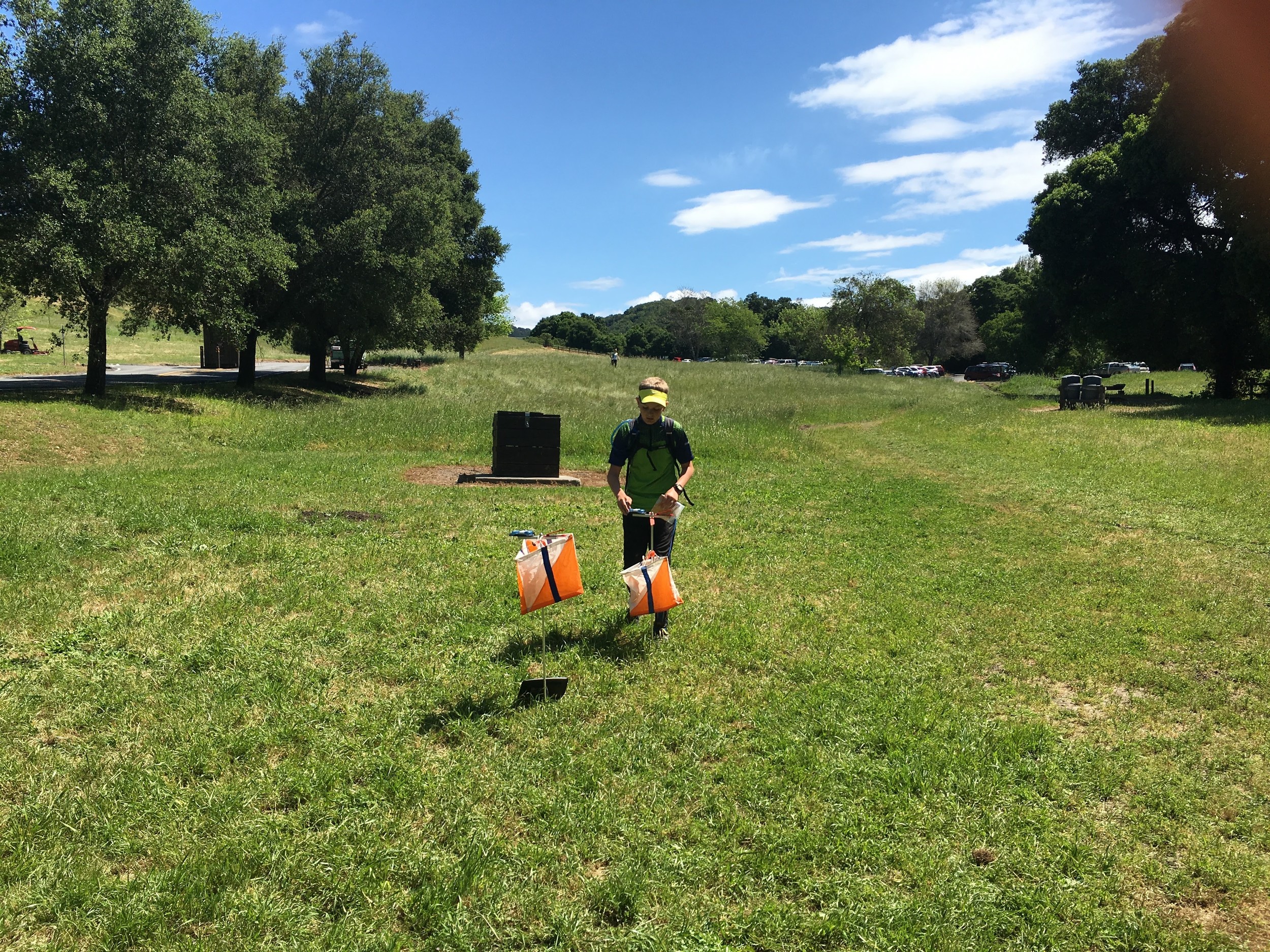
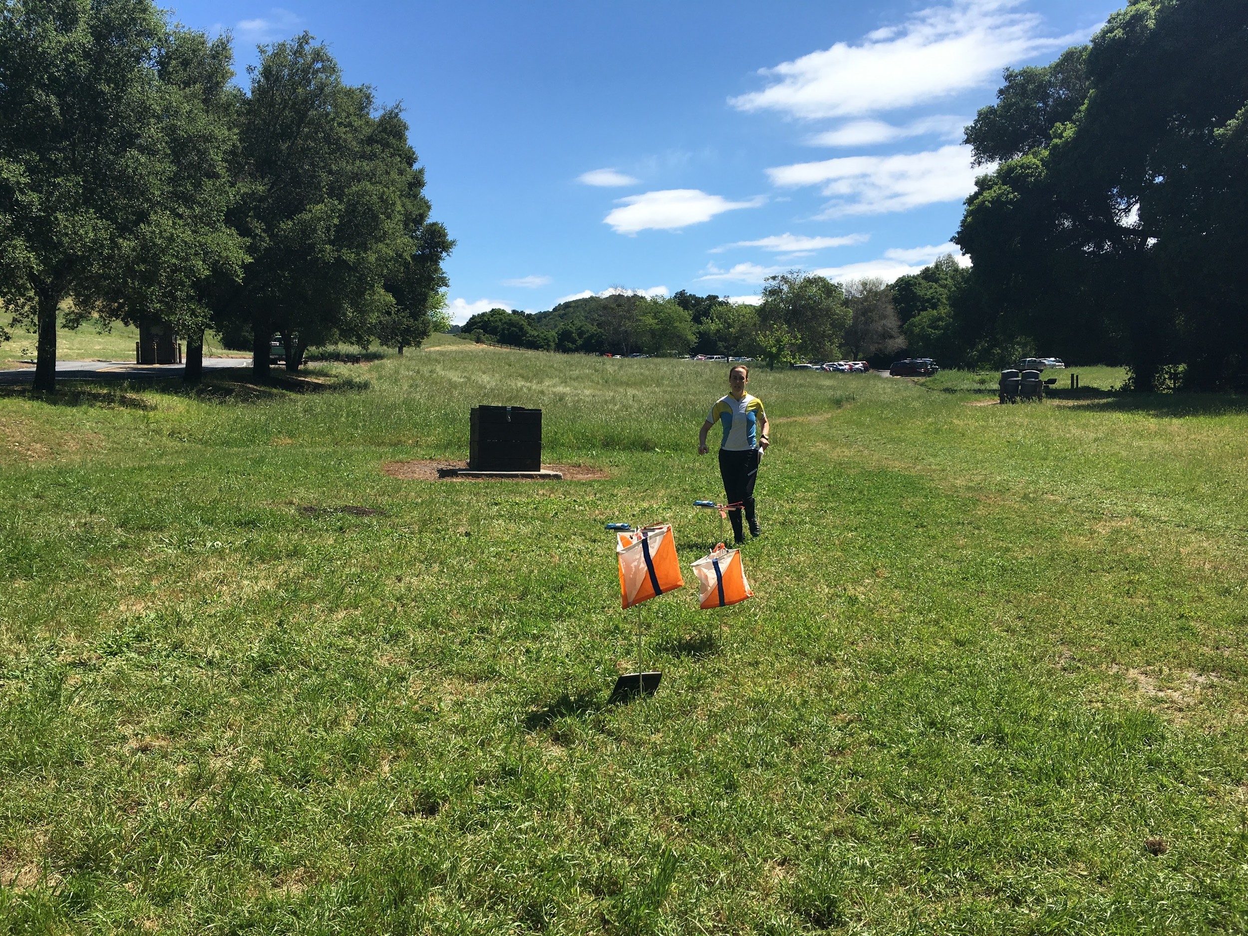
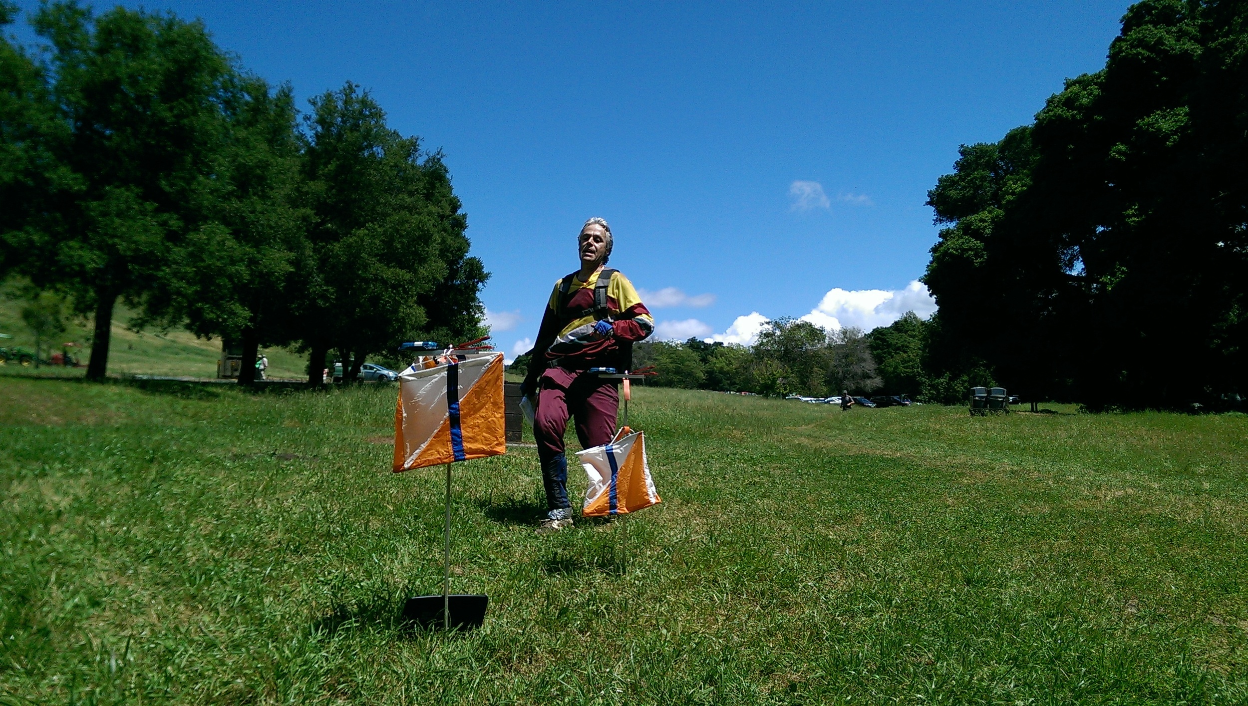
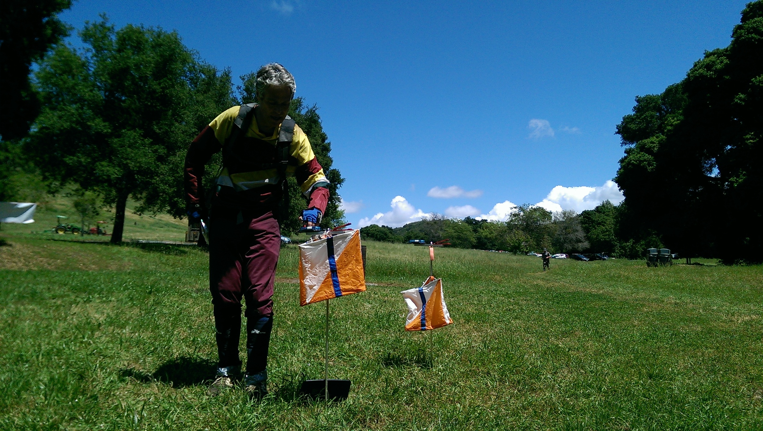
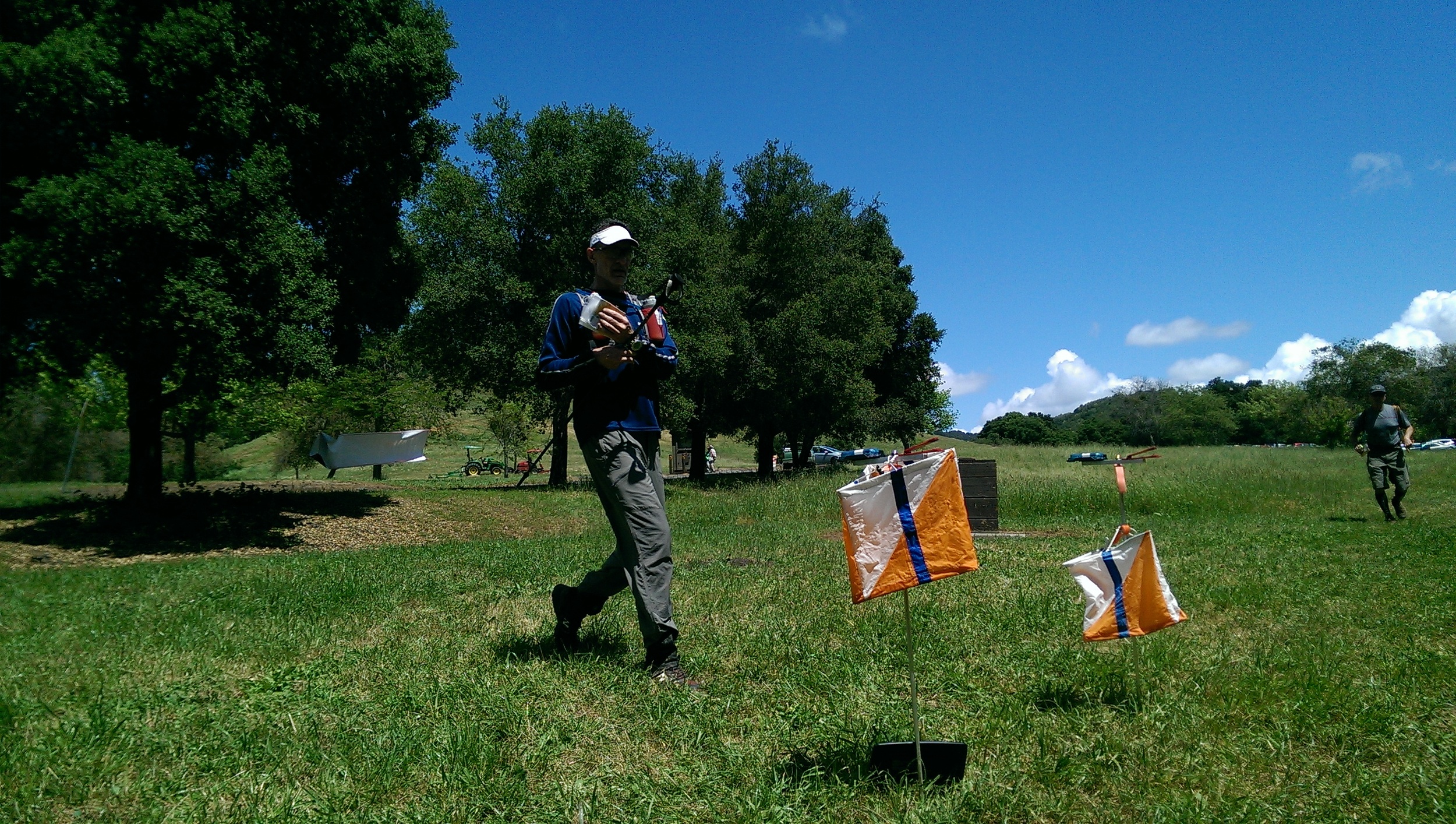
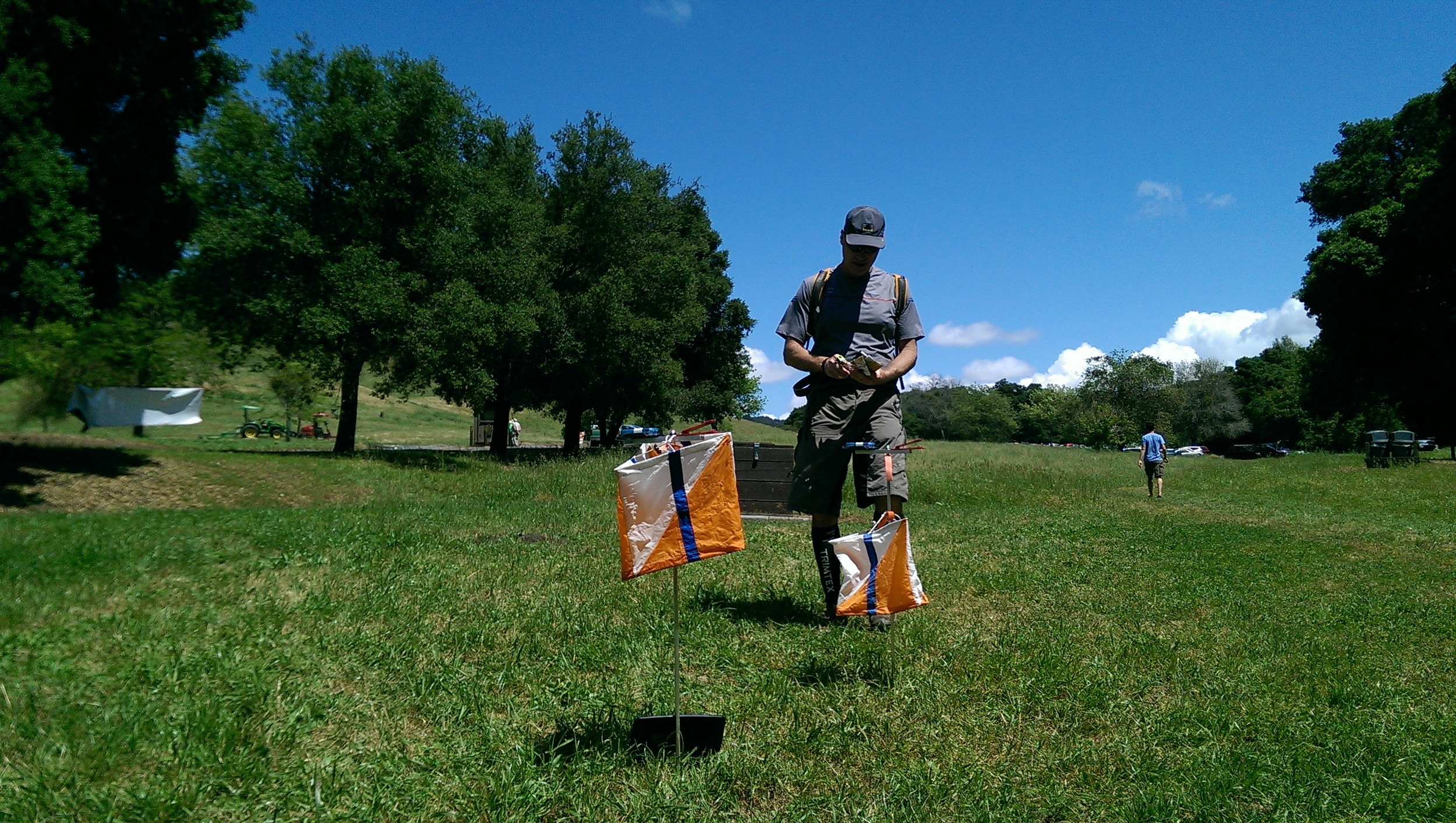
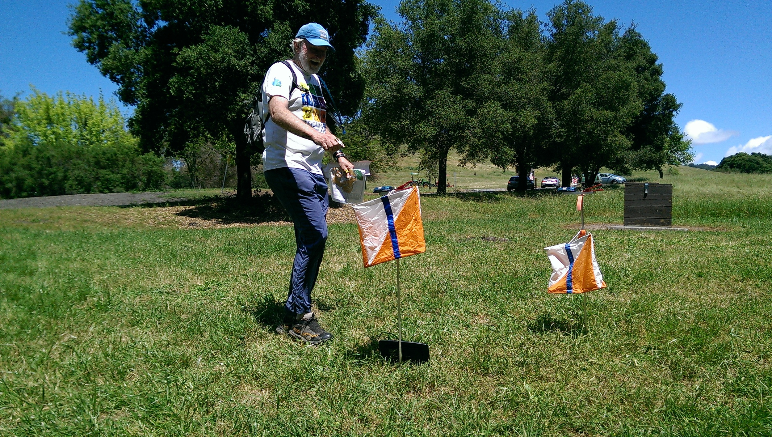
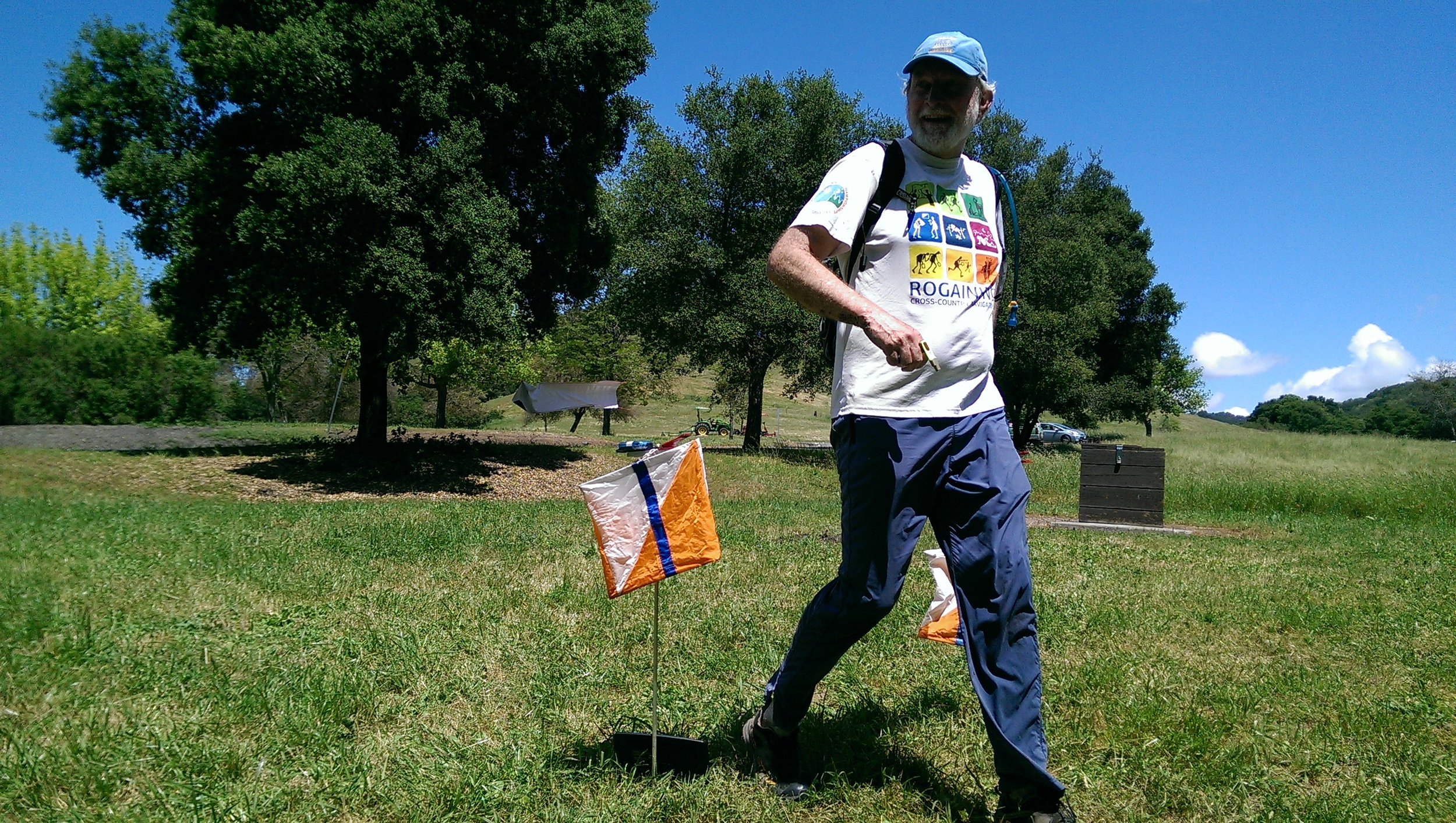
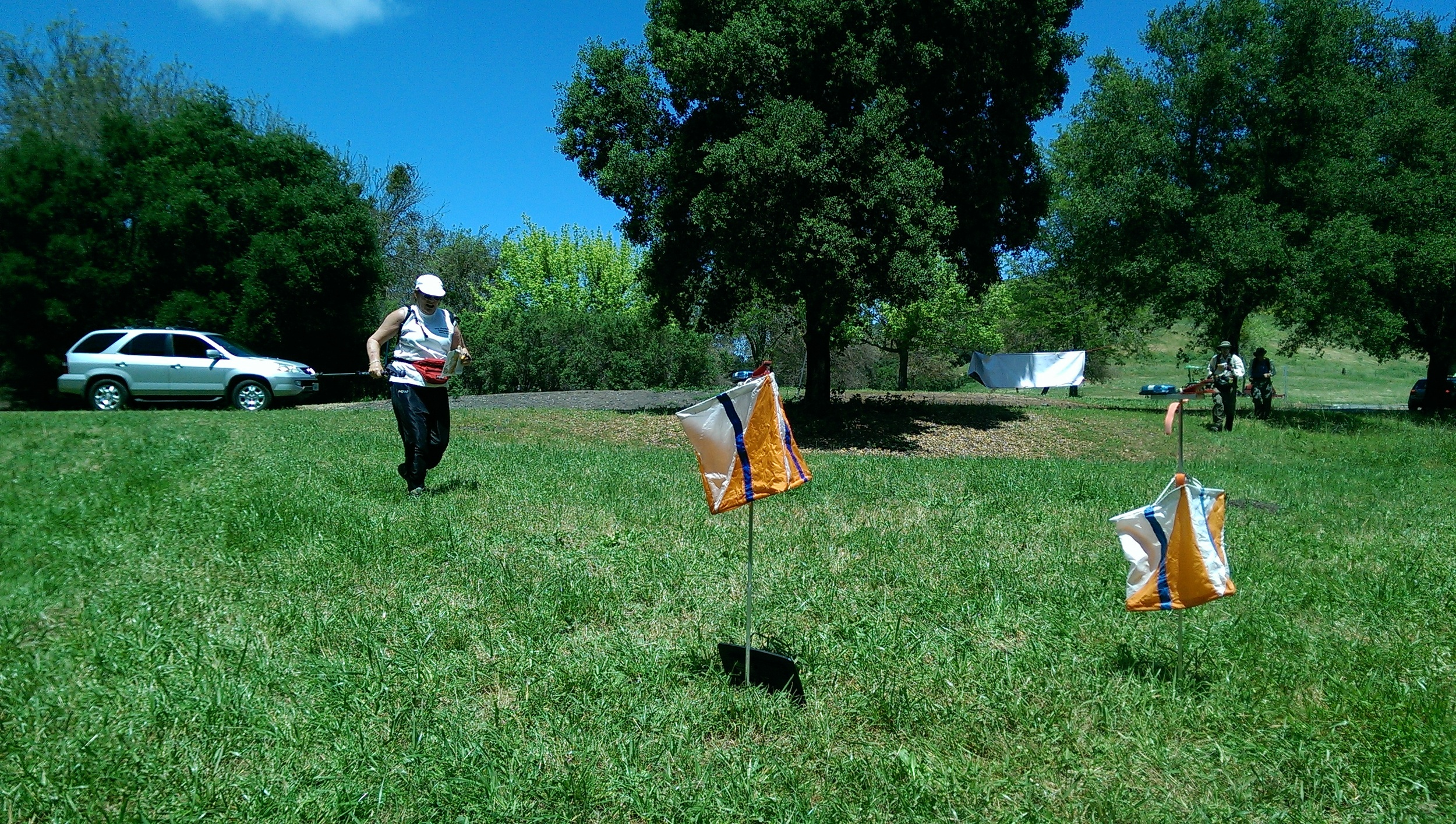
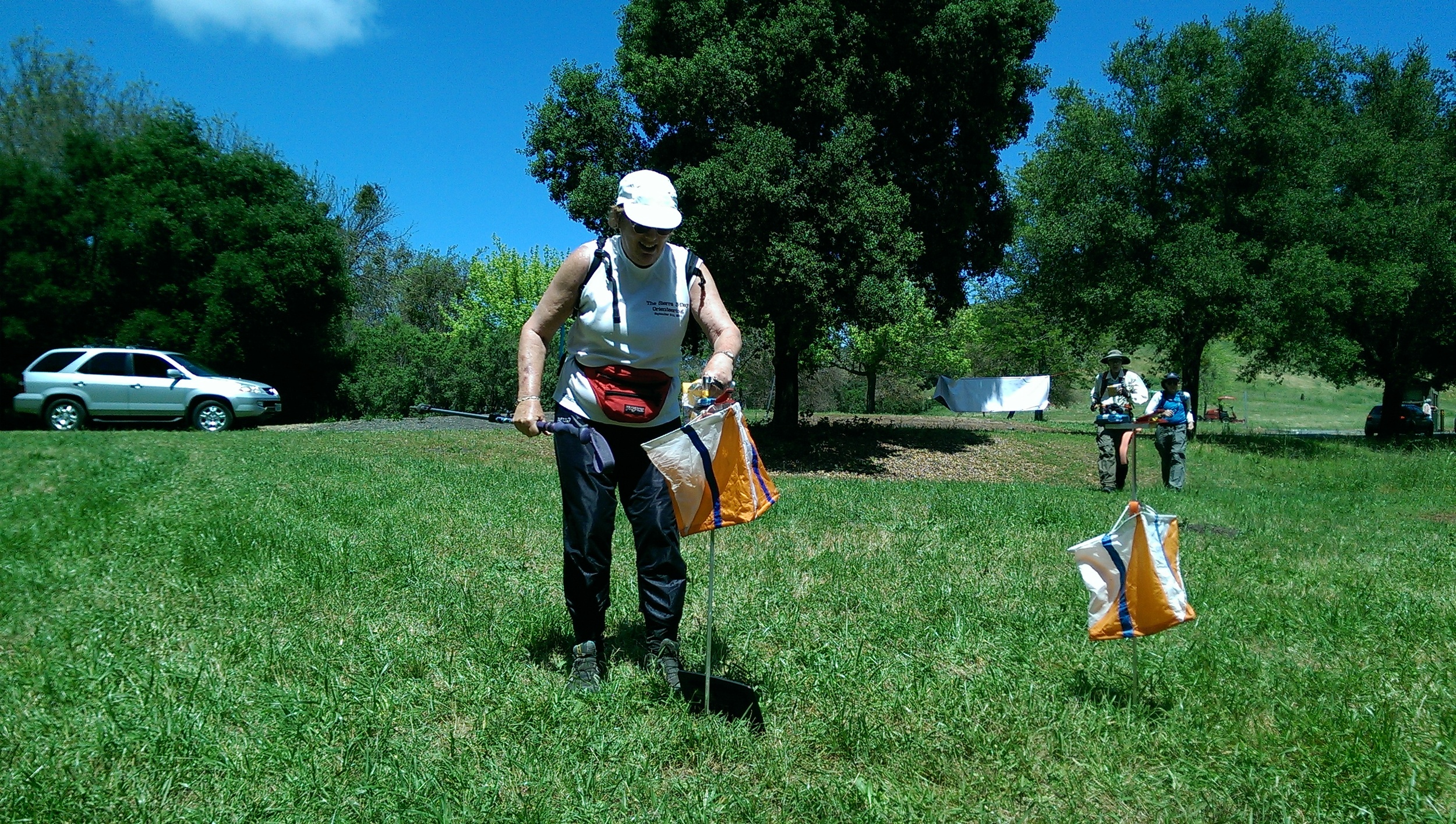
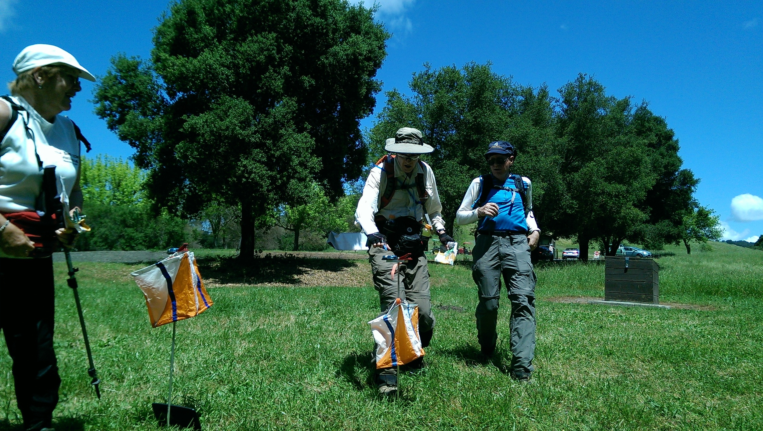
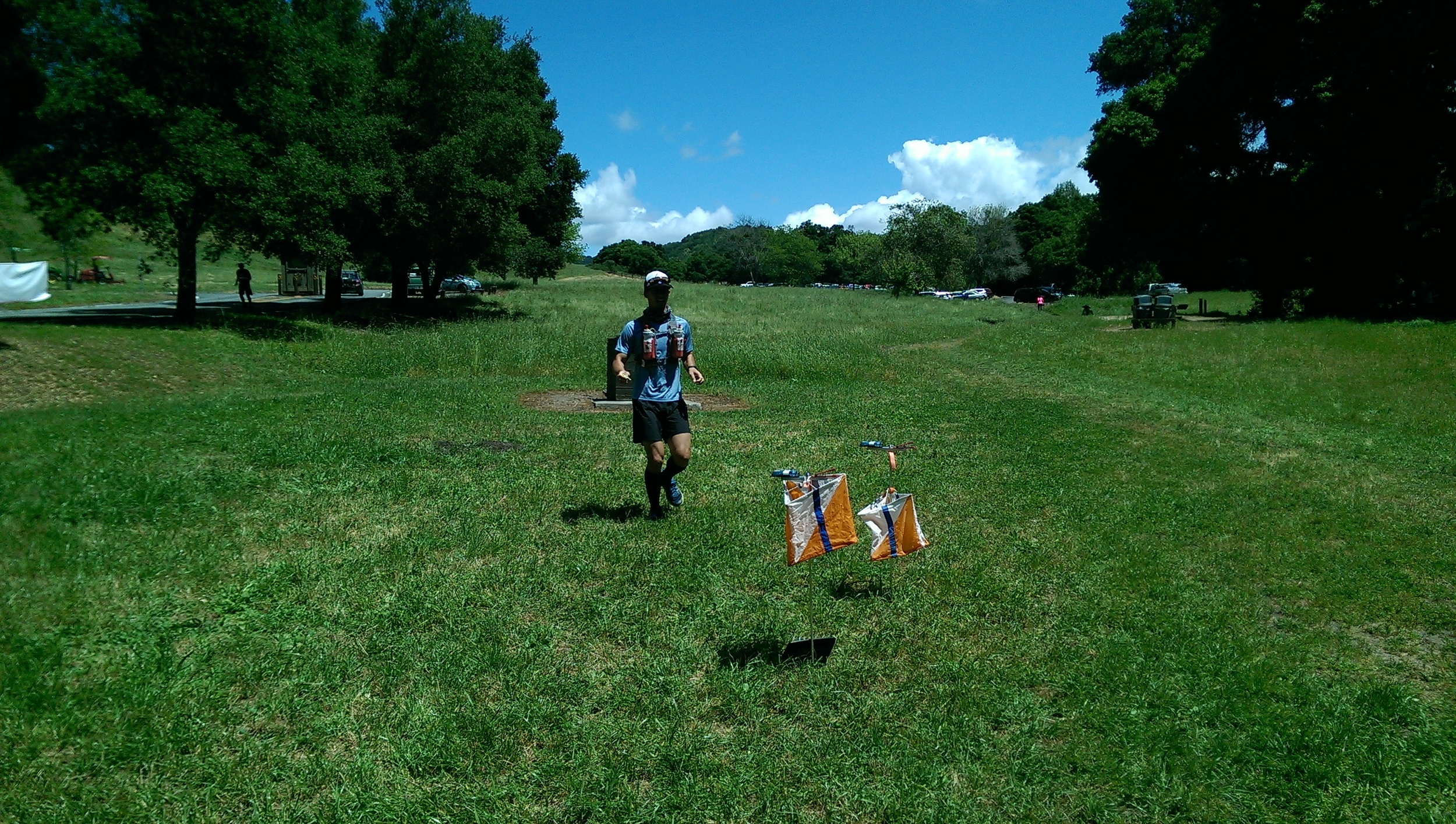
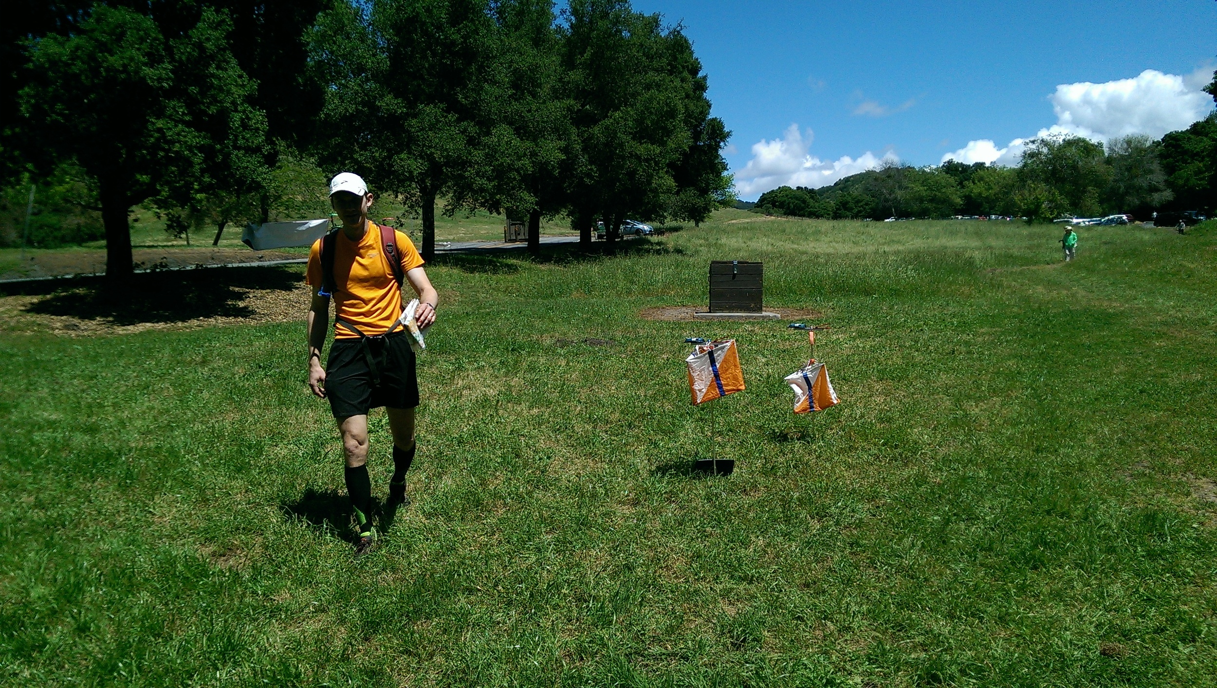
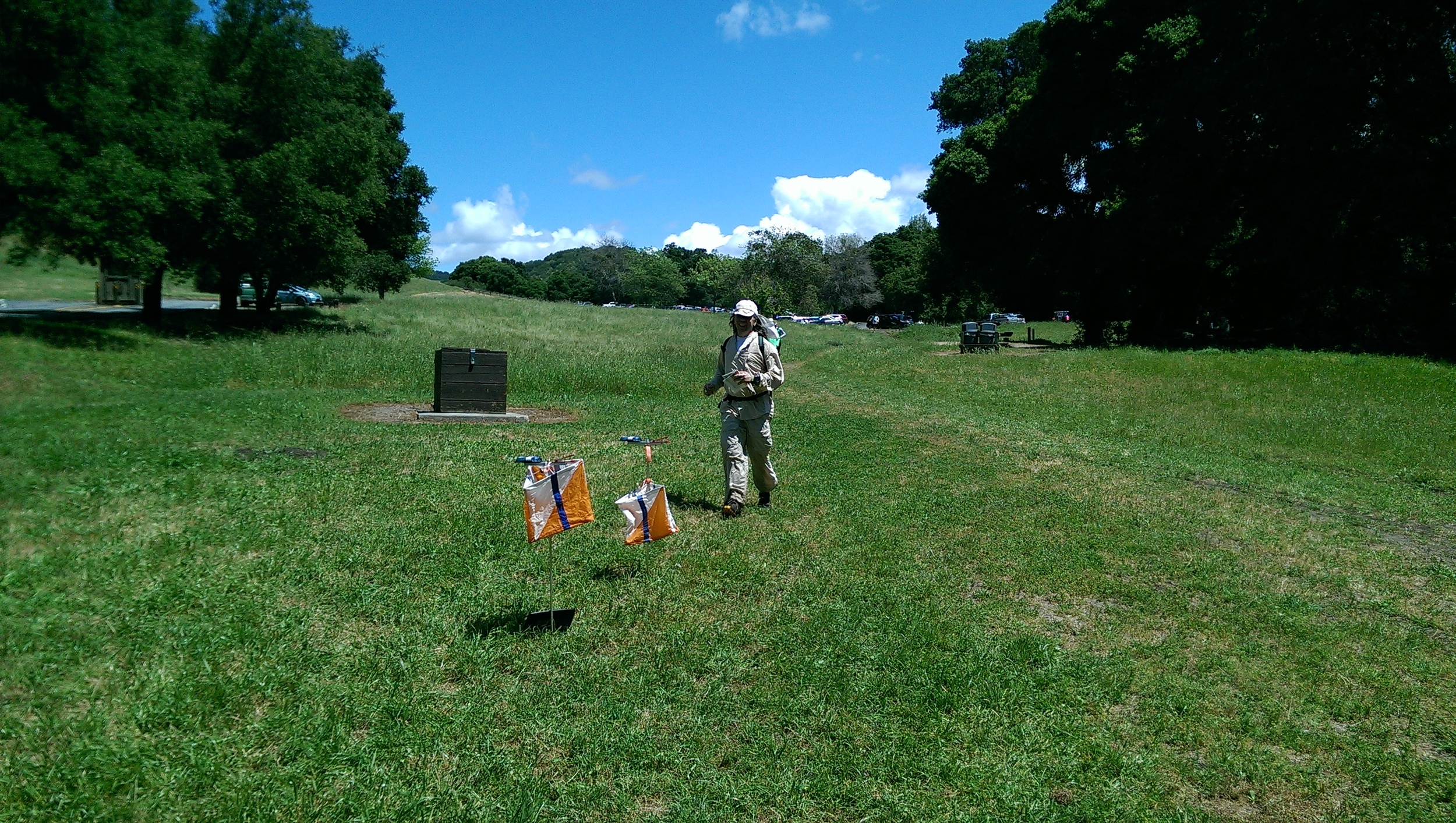
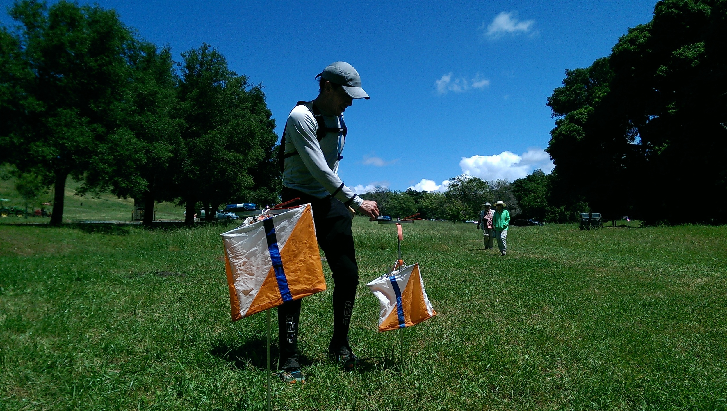
You’ll be waiting for a beep from your phone, rather than looking for an orange/white flag (we will mark with biodegradable flagging but no guarantee it will be there all the time - other visitors, cows or deer may remove)
Individual safety preparations become critical as there will not be any race organization at the venue - you’re it! As a result, we will not be doing anything longer than 8 hours using the GPS system.
We think the Pros outweigh the Cons, at least during COVID times, and think you will really enjoy racing this way. We look forward to watching the leader boards as the season gets underway. More information will come out shortly. Adventure on in 2022!
The NAV-X Team
NAV-X Challenge final Series Standings
NAV-X Challenge final Series Standings
We have completed the 2016 season with all six (6) events! Series results are final. If you'd like to go into a deep dive with how the scoring works, please check out our FAQ which explains it in detail (Question 6).
Top Series Results in the SHORT-n-FAST Division (Best 7 hrs of competition):
1. Rex Winterbottom - 653 out of 700
2. Tapio Karras - 640 out of 700
3. Daniel Sebo - 509 out of 700
Top Series Results in the LONG-n-HARD Division (Best 14 hrs of competition):
1. Dennis Wilkinson - 1,400 out of 1,400 - A PERFECT SCORE!
2. Lubomir Sebo - 1,314 out of 1,400
3. Aron Walker - 1,253 out of 1,400
Short Division NAV-X Challenge Series Standings
Long Division NAV-X Challenge Series Standings
How to Register for NAV-X Map Trek
How to Register for NAV-X Map Trek
Thank you for registering using the EventRegister system administered by Orienteering USA (OUSA)
Even if you are part of a team, each person needs to register separately. Your age for determining divisions and pricing is defined as your age at the beginning of the year. This will ensure that you are entered in the same division for the whole season.
Registration HINTS:
Page 1
If you are an OUSA member, you can retrieve your personal contact info to fill out the form or if you are not a member, click "Non-Orienteering USA Member”.
Page 2
You enter your personal info as a non-member on the second page. The "club" field pertains to any local Orienteering club; it will also appear in the event results. Choose "none" if you are not a member. Timing is done with electronic punching (similar to chip timing) - click on "Will Rent E-Punch:" if you don't own an E-punch. NOTE: Teams are only required to use one E-punch. Subsequent team members should enter "0" in the e-punch number field and leave the rental box unchecked so that you are not charged for a rental.
page 3
Find your course and use the pull-down list to choose your division.
Please choose only one division on one course and leave the rest as "Not Competing".
All members of a team should enter the same division.
Page 4
If you are an adult member of an orienteering club, please choose "Yes" for the club member discount. Discounts are $3/adult (no discounts for juniors). There is no additional discount for OUSA federation membership (even though this information is requested in the contact details).
You can choose to rent a compass, provide an emergency contact, and provide team details. If you are registering as a team, please give your team name (if you can't think of a team name, just use your last names). Be sure that all members of a team use the SAME TEAM NAME so that we can match up the entries. In order to be eligible for Junior or Masters divisions, all members of a team must be 13-19 (Junior) or 50+ (Masters) as of Jan 1, 2019.
Page 5
Confirm your details.
Page 6
Check box, enter name, then click "Save Signed Waiver".
We accept payments using PayPal, the online payment system. NOTE: you CAN pay with a credit card through PayPal. Checks will NOT be accepted for pre-entry. Checks will be accepted day of event but at the higher day of event fees (see below). You will also have the option to register others and pay for multiple entries with one PayPal charge.
Page 7
Refund Policy
Refund policy: 100% refund up to 10 days before event. Future race credit 1-9 days before event. No refunds for no-show.
Day of event fees
If you choose to register in person on the day of the event, the fees will be:
2 HR = $35/adult, $18/junior;
3 HR = $40/adult, $20/junior;
4 HR = $50/adult, $25/junior;
5 HR = $60/adult, $30/junior;
6 HR = $65/adult, $33/junior;
8 HR = $80/adult, $40/junior.
There is no club discount for day of event entries.
Send questions to info@navxchallenge.org
Reg Map Trek 3
Reg Map Trek 3
Thank you for registering using the EventRegister system administered by Orienteering USA (OUSA)
Even if you are part of a team, each person needs to register separately. Your age for determining divisions and pricing is defined as your age at the beginning of the year. This will ensure that you are entered in the same division for the whole season.
Registration HINTS:
Page 1
If you are an OUSA member, you can retrieve your personal contact info to fill out the form or if you are not a member, click "Non-Orienteering USA Member”.
Page 2
You enter your personal info as a non-member on the second page. The "club" field pertains to any local Orienteering club; it will also appear in the event results. Choose "none" if you are not a member. Timing is done with electronic punching (similar to chip timing) - click on "Will Rent E-Punch:" if you don't own an E-punch. NOTE: Teams are only required to use one E-punch. Subsequent team members should enter "0" in the e-punch number field and leave the rental box unchecked so that you are not charged for a rental.
page 3
Find your course and use the pull-down list to choose your division.
Please choose only one division on one course and leave the rest as "Not Competing".
All members of a team should enter the same division.
Page 4
If you are an adult member of an orienteering club, please choose "Yes" for the club member discount. Discounts are $3/adult (no discounts for juniors). There is no additional discount for OUSA federation membership (even though this information is requested in the contact details).
You can choose to rent a compass, provide an emergency contact, and provide team details. If you are registering as a team, please give your team name (if you can't think of a team name, just use your last names). Be sure that all members of a team use the SAME TEAM NAME so that we can match up the entries. In order to be eligible for Junior or Masters divisions, all members of a team must be 13-19 (Junior) or 50+ (Masters) as of Jan 1, 2019.
Page 5
Confirm your details.
Page 6
Check box, enter name, then click "Save Signed Waiver".
We accept payments using PayPal, the online payment system. NOTE: you CAN pay with a credit card through PayPal. Checks will NOT be accepted for pre-entry. Checks will be accepted day of event but at the higher day of event fees (see below). You will also have the option to register others and pay for multiple entries with one PayPal charge.
Page 7
Refund Policy
Refund policy: 100% refund up to 10 days before event. Future race credit 1-9 days before event. No refunds for no-show.
Day of event fees
If you choose to register in person on the day of the event, the fees will be:
2 HR = $35/adult, $18/junior;
3 HR = $40/adult, $20/junior;
4 HR = $50/adult, $25/junior;
5 HR = $60/adult, $30/junior;
6 HR = $65/adult, $33/junior;
8 HR = $80/adult, $40/junior.
There is no club discount for day of event entries.
Send questions to info@navxchallenge.org
Register for NAV-X Adventure Run 2
Register for NAV-X Adventure Run 2
Thank you for registering using the EventRegister system administered by Orienteering USA (OUSA)
Your age for determining divisions and pricing is defined as your age at the beginning of the year.
Registration HINTS:
Page 1
If you are an OUSA member, you can retrieve your personal contact info to fill out the form or if you are not a member, click "Non-Orienteering USA Member”.
Page 2
You enter your personal info as a non-member on the second page. The "club" field pertains to any local Orienteering club; it will also appear in the event results. Choose "none" if you are not a member. Timing is done with electronic punching (similar to chip timing) - an E-punch rental is included with your registration fee but you will need to check the "Will Rent E-punch" box. If you have your own E-punch, please include the number in the "E-punch Number" field.
page 3
Find your course and use the pull-down list to choose your division.
Please choose only one division on one course and leave the rest as "Not Competing".
Page 4
If you are an adult member of an orienteering club AND you have your own E-punch stick, please choose Yes to have the $5 discount applied to your entry. There is no member discount for juniors (19 & under).
You can choose to rent a compass, and provide an emergency contact.
Page 5
Confirm your details.
Page 6
Check box, enter name, then click "Save Signed Waiver".
Page 7
We accept payments using PayPal, the online payment system. NOTE: you CAN pay with a credit card through PayPal. Checks will NOT be accepted for pre-entry. Checks will be accepted day of event but at the higher day of event fees (see below). You will also have the option to register others and pay for multiple entries with one PayPal charge.
Refund Policy
Refund policy: 100% refund up to 10 days before event. Future race credit 1-9 days before event. No refunds for no-show.
Day of event fees
If you choose to register in person on the day of the event, the fees will be:
10-15km = $35/adult, $20/junior
15-20km = $40/adult, $23/junior
20-30km = $50/adult, $28/junior
30-40km = $65/adult, $35/junior
40-60km = $80/adult, $43/junior
Subtract $5 if you are an adult orienteering club member AND you have your own E-punch.
Send questions to info@navxchallenge.org
How to Register for NAV-X Mountain Bike
How to Register for NAV-X Mountain Bike
Thank you for registering using the EventRegister system administered by Orienteering USA (OUSA)
Even if you are part of a team, each person needs to register separately. Your age for determining divisions and pricing is defined as your age at the beginning of the year.
Registration HINTS:
Page 1
If you are an OUSA member, you can retrieve your personal contact info to fill out the form or if you are not a member, click "Non-Orienteering USA Member”.
Page 2
You enter your personal info as a non-member on the second page. The "club" field pertains to any local Orienteering club; it will also appear in the event results. Choose "none" if you are not a member. Timing is done with electronic punching (similar to chip timing) - an E-punch rental is included with your registration fee but you will need to check the "Will Rent E-punch" box. If you have your own E-punch, please include the number in the "E-punch Number" field.
page 3
Find your course and use the pull-down list to choose your division.
Please choose only one division on one course and leave the rest as "Not Competing".
All members of a team should enter the same division.
Page 4
If you are an adult member of an orienteering club AND you have your own E-punch stick, please choose Yes to have the $5 discount applied to your entry. There is no member discount for juniors (19 & under).
You can choose to rent a compass, provide an emergency contact, and provide team details. If you are registering as a team, please give your team name (if you can't think of a team name, just use your last names). Be sure that all members of a team use the SAME TEAM NAME so that we can match up the entries. In order to be eligible for Junior divisions, all members of a team must be 13-19 as of Jan 1, 2019.
Page 5
Confirm your details.
Page 6
Check box, enter name, then click "Save Signed Waiver".
Page 7
We accept payments using PayPal, the online payment system. NOTE: you CAN pay with a credit card through PayPal. Checks will NOT be accepted for pre-entry. Checks will be accepted day of event but at the higher day of event fees (see below). You will also have the option to register others and pay for multiple entries with one PayPal charge.
Refund Policy
Refund policy: 100% refund up to 10 days before event. Future race credit 1-9 days before event. No refunds for no-show.
Day of event fees
If you choose to register in person on the day of the event, the fees will be:
1.5 HR = $40/adult, $30/junior
2 HR = $45/adult, $33/junior
3 HR = $55/adult, $40/junior
4 HR = $70/adult, $51/junior
6 HR = $85/adult, $61/junior
There is no club discount for day of event entries.
Send questions to info@navxchallenge.org
NAV-X GPS @ Annadel
NAV-X GPS @ Annadel
QUICK INFO
Dates: Course Open Oct 17th - Dec 31st, 2020
Location: Trione-Annadel State Park, Sonoma County, California
Event Director: Bill Cusworth (contact)
Course Directors: Bill Cusworth
Courses: 2 & 4h Maprunner GPS Map Trek
INTRODUCTION
We are hosting a free NAV-X Map Trekking training course in the beautiful Trione-Annadel State Park, located in eastern Santa Rosa.
37 checkpoints are marked on a brand new Lidar-based map of the park - you have 2 or 4 hours to try and get to as many as you can. Checkpoints are marked in the field with two foot-long orange or pink streamers.
We will be using a new Smartphone app named “MapRunF” to record your visit to each checkpoint. The app will record a “punch” automatically using your GPS position.
Since this is the first event using MapRunF, we have decided not to charge any entry fees.
If you would like to make a donation on PayPal, you can send money to “info@navXchallenge.org”.
Results from each competitor are tabulated into a results list.
There is also an app named MapRunG that can be used with Garmin watches.
All the instructions including directions to the Start are below. Be safe and have fun!
IMPORTANT SAFETY NOTES
YOU ARE DOING THIS AT YOUR OWN RISK - WE TAKE NO RESPONSIBILITY FOR ANY INJURIES OR DEATH. HAZARDS INCLUDE STEEP HILLS AND CLIFFS, LOOSE ROCKS, OCCASIONAL DENSE AND SHARP BRUSH, AND POISON OAK.
WATER - There are no open water spigots at the venue due to the pandemic. The creeks are all bone dry but there is a small lake in the middle of the map. I recommend bringing all the water you need with you.
TEMPS - Should be very pleasant unless you come during a heat wave. Check the local weather forecast before you go and make sure you have enough water with you.
Mountain Biking is very popular in Annadel so watch out for bikes moving at high speed. The riders are mostly very considerate.
EVENT INFORMATION
MAPRUNF - Please see this page for instructions on how to use the MapRunF smartphone app. The start/finish area for this event does have a free (but weak) Xfinity wifi signal. However, I wouldn’t count on it. It’s important that you load the course while you still have Internet service. Search for “2020 Nav-X GPS Map Trek Annadel SP” and pick the right course (2hr or 4hr).
DIRECTIONS TO START: The start/finish area is located here. From highway 101 in Santa Rosa, take exit 488B to merge onto CA-12 E toward Sonoma. After 1.7mi, continue straight onto Hoen Frontage Rd which becomes Hoen Ave. and continue another 1.5 mi until Summerfield Rd. Turn right onto Summerfield, proceed 0.3 mi and then turn left onto Parktrail Dr. The start is 0.4 mi from Summerfield, on the left (north) side of the street.
PARKING - The start is in a residential neighborhood and as such, there are no amenities and bathrooms. Parking is free but please respect the residents by parking on the left (north) side of Parktrail Dr. where you won’t be directly in front of anyone’s house. I usually find it easiest to do a U-turn at the first stop sign so I can park facing the correct direction.
BATHROOMS - There are 2 rustic outhouses on the course and some standard bathrooms in the adjoining Spring Lake Regional Park, but nothing near the start/finish area which is in a residential neighborhood.
GEAR RECOMMENDATION - We recommend participants bring the following:
Smartphone - goes without saying since we are using an app for timing.
Compass
Long pants or at least gaiters for the tall grass and brushy vegetation.
Snacks & Water, especially if you are on the 4-hr course
TRASH - There is no garbage removal service at this venue, so you must carry out what you bring in. Practice LNT (Leave No Trace).
PETS - Pets are not allowed in the park.
BE DISCREET - We don’t have a permit to use the park so try not too noticeable when entering or exiting off-trail areas. Please also heed the out of bounds area from the Sept 2020 Glass Fire.
MAP & COURSE NOTES
TERRAIN - Annadel is a very interesting venue and generally considered one of the best in the Bay Area. While it is steep in places, it’s less steep overall than most Bay Area venues but does contain quite a bit more rocks than other local venues. Annadel has a variety of terrain. It’s predominantly oak forest with tall grass but also contains open meadows, conifer forests, stands of redwoods and manzanita patches. What makes Annadel unique is that the area once contained many cobblestone quarries so there are left over features from the quarry activity such as pits, depressions, knolls, cliffs, and rock fields. In 2017, the eastern ⅔ of the park, which covers the eastern section of the course map, was burned in the Nuns fire. Since then, the burned areas have been overgrown with dense grass, berry vines, and poison oak. All the creeks in the park are dry and Lake Ilsanjo is much lower than mapped. It was partially drained for maintenance work on the dam. In Sept 2020, the Glass fire burned the northern part of the park and this area is still closed to the public.
COURSE - The course was designed by Heidi Cusworth and the checkpoints were visited by Bill Cusworth. There are 37 checkpoints varying in point value from 30 to 120 points. The approximate straight-line distance to get all controls is ~21 km with a decent amount of climb. 11 checkpoints were removed as a result of the Sept 2020 Glass Fire but the course was originally quite long and so it is still plenty long enough for 4 hours. There is one checkpoint that is worth 120 points. It is at the top of a bald hill (referred to by the mountain bikers as “Da Boob”), a little ways below the highest peak in the park, Bennett Mtn. This viewpoint has a magnificent panorama view of Santa Rosa, Spring Lake, Bennett Valley, Taylor Mtn, Hood Mtn and the surrounding area. It is our favorite viewpoint in Sonoma County and we wanted to encourage you to go there with the high value. Because there are no trees and it is on a trail, we chose not to put any flagging there.
SCORING: Just like our other events, each checkpoint has a point value reflecting the difficulty (higher point value for tougher checkpoints). The point value is the “10 part” of the checkpoint code. Examples: 33 = 30 points, 70 = 70 points, 115 = 110 points, etc. The late penalty is 30 pts/minute. The maximum points possible is 2340.
MARKERS - Each checkpoint is marked with flagging (except for #120, see above). Most have 2 pieces of orange flagging but a few have pink flagging. There is no writing on the flagging. The MapRunF app will beep automatically when you get close to the checkpoint based on your GPS reading.
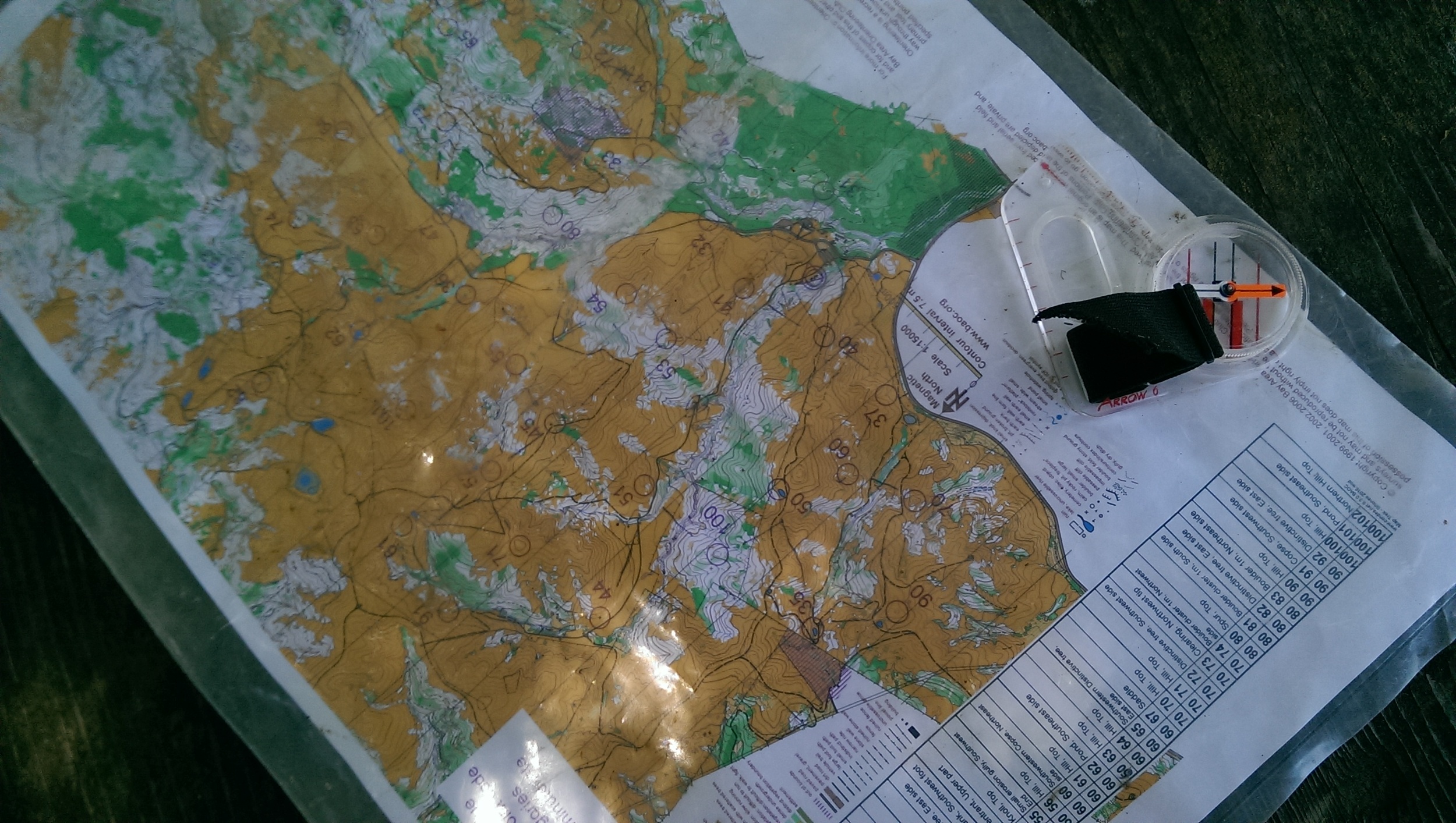
MAP PRINTING - Because we are using the MapRunF app for scoring and we are not charging money for this event, we have decided not to print maps. We are providing two pdf versions of the map for you to print before doing the course. The first pdf is a 1:25000 version of the course that will print on 8.5 x 11 that you can use for route planning. Since you won’t be able to read much of the detail at that scale, we have also provided a second pdf at 1:10000 that will print onto 6 sheets of 8.5 x 11 paper with 42mm overlap between sheets. Both pdf maps have a 5 meter contour interval and the textual control descriptions overlaid but there is no map legend. Please let us know if there are other scales and page sizes that you would like to have and we’ll do our best to accommodate you. The MapRunF app also contains a low resolution version of the orienteering map with the checkpoints shown, but no control descriptions.
MAP - The map is brand new and was made using LiDAR data from 2013. From this data, very accurate 5 meter contours were derived. Automated vegetation data was also obtained from Lidar (more on this below). Roads and trails were imported from Open Street Map, Strava heatmap, and augmented with personal GPS tracks. Aerial imagery was used to trace fences, water features, roads, and trails. The existing old BAOC map was then georeferenced to this map using a long and complicated process (called Rubbersheeting) using 650+ locations that could be matched on both the old map and the new map. The point and line features from the old map were then imported into the new map. This process is not perfect and some features could be offset from their true location by about 5-10 meters, although the average error is probably 2-3 meters. Because the map data is from 2 different sources and mostly not field checked, they may not match up locally. What this means is that a feature, such as a boulder, could show up on the west side of a trail instead of the east, on the side of a reentrant rather than the bottom, 10 meters from a clearing instead of 5 meters, etc. I actually didn’t notice too many of these kinds of errors and the errors found were corrected.
MAP VEGETATION: The automated vegetation from the Lidar data is very good at showing dense forest due to low tree branches. Almost all of the dark green on the map is thick manzanita and it mapped very accurately to the point where you can pick out individual manzanita trees. Undergrowth does not show up as well and does reduce runnability of the white forests a bit. In particular, the parts of the area that were burned in the 2017 Nuns fire have grown up significantly since the Lidar data was collected in 2013. This applies to the eastern half of the course and the SW ridge line, but the worst area is definitely the SE quadrant of the course, which is partly why these checkpoints are worth high points, the other reason being that they are farthest from the start at the western edge of the map. In these areas, there are some berry vines mixed with significant ankle to knee-high poison oak patches. You can mostly step around the poison oak but I attempted to show the areas that were particularly bad with the vertical green line “undergrowth” symbol overlaid on top of the auto vegetation. This undergrowth mapping is very approximate but should give you a good idea about what parts of the map to stay out of.
OTHER MAP NOTES: Since the trails in the forests are mapped with GPS data, they are smoothed out and don’t show all the small twists and turns. I tried hard to make sure the intersections looked right. Mountain bikers are creating new trails all the time, so you may find some trails not on the map. The mapping of rock detail came from the old map which was first made in 1989. As such, the mapping of these features is a little outdated and not completely consistent with current symbols.
I hope you will enjoy this area. This beautiful park is in our back yard so to speak and Bill runs here 3-4 days a week, often with the local running club, Empire Runners, which also stages club races in the park.
Bill & Heidi Cusworth - Course Setters
How to Use the MapRunF Smartphone App for Nav-X events
By Bill Cusworth
How to Use the MapRunF Smartphone App for Nav-X events
By Bill Cusworth
1-Install app and load event
MapRunF is an updated version of MapRun. It’s important that you use MapRunF for all Nav-X events.
Download the MapRunF App and Install it on your phone. It’s free.
There is also an app called MapRunG that performs similar functions but on Garmin watches. I wasn’t able to test it out but you can click here for more information.
Start the App while you still have a reliable Internet connection.
Enter your Name - to be used with your results. If you are competing on a team, you can enter the team name or both the team and individual names.
Tap “Select Event” and browse to the event you are looking for.
Alternatively, tap “Events Near Me” to display a list of events near your current location.
Select the appropriate event with the correct duration (e.g. 2-hr vs. 4-hr).
The course and map are now loaded into your phone and even if you lose an internet connection, it will still work.
Tap “Go to Start” to see the map and course.
The app will display a Google satellite map with the orienteering map and course superimposed on top of it. The app will also display your current location on the map with a red dot. The red dot will disappear as soon as you “punch” the start.
There is an “Options and Settings” button but most of these settings are locked and the ones that aren’t are best left in their default setting.
There is a “Show Results” button which brings you to a Result list screen. A result listing will be created here each time you tap “Go to Start”. If you don’t do the course, it will show a DNS -Did not Start.
2-Run the course
Download and print the map(s) for the course and then drive to the Start location. You could also just use the map displayed in the app but it’s fairly low resolution and you can’t rotate it, etc. and there are no control descriptions.
You need to pass within 20 meters of the Start location to trigger the course timer. You will hear a “beep” indicating that the clock is running…GO!
Important Note: The start is triggered automatically so don’t go to the Start location until you are ready to begin the competition. If you do accidentally trigger the start before you are ready, hit the home icon in the upper left corner and then confirm that you want to exit. Move away from the start area and tap “Go to Start” again.
Choose your own route and go to as many checkpoints as you can in the allotted time.
The app will “beep” automatically when your GPS determines that you are within the 20 meter radius of the checkpoint location. Most of the time, the beep will occur as you are approaching the feature. If the beep does not happen immediately, you may have to wait a few seconds for your GPS to adjust to your new location. If you don’t get a beep after a few seconds, continue your course and submit a revised result using the method described in the next section.
Purple control circles will turn to green to show that they have been “punched”.
After collecting all the checkpoints you managed in the time allowed, make sure to stop the race timer by passing through the Finish, which is in the same place as the Start. You will again hear a “beep”.
MapRunF will not punch the Finish until you have visited at least one checkpoint. Be careful not to get close to the Finish if you need to return to your vehicle in the middle of your run. Once the Finish is triggered, the race is done.
3-Results
At the finish, MapRunF will attempt to automatically upload your results to the main database if there is an internet connection present. If not, you will see a load error message on the screen. In this case, you can upload your result manually when you get within signal range. From the main manu, tap on “Show Results” to see a list of all your recorded results using the app. Open (by tapping on) the result in question, then from the menu on the top-right, select “Upload (Manual)”. You should see confirmation that the upload was successful.
You can compare your results with others on the same course by tapping “All Results for this Event” (from the Results list screen). Your point total will be calculated using the scoring formula (see Scoring Details below). You will also be shown the controls visited, the distance that you ran, your pace, and your race position.
From this All Results page, you can also view the route that you or anyone else took by tapping on “Track” which will display the route in RouteGadget.
If you visited a checkpoint but did not get a “punch”, you can submit a revised result. From the menu on the top-right of the Results list screen, select “Review Results (HITMO)” and tap on the info button in the top-right to get on-screen instructions on submitting a revised result.
4-Some considerations:
Running the GPS continuously takes a lot of battery power. Make sure your phone is fully charged before you start. Consider bringing an external battery backup to charge your phone while you’re out there, especially if you are doing a 4 hour course or longer. Here is a great external battery by Anker.
You may find it helpful to store your phone in a carrier so that you can run without having to carry it in your hand. I have personally found a fanny pack running belt very helpful.
5-Scoring Details
Point values - add “0” to the first number of the checkpoint code. Examples:
33 = 30 points
70 = 70 points
102 = 100 points
Etc.
The late penalty is 30 pts/minute.
Have fun!
The NAV-X Team
Big Basin NAV-X Challenge Series - Results
Big Basin NAV-X Challenge Series - Results
Thank you to all of our participants who took part in our Big Basin NAV-X Challenge! We had another beautiful day to tackle a challenging course set by Misha Kreslavsky. Please find the full posted results below (click on the results you would like to view). Please let us know if you find any discrepancies of problems at info@navxchallenge.org.
2H RESULTS - FULL
4H RESULTS - FULL
If you tracked your route, and have a strava account, this is a fun way to visualize your run compared to others on the same course.
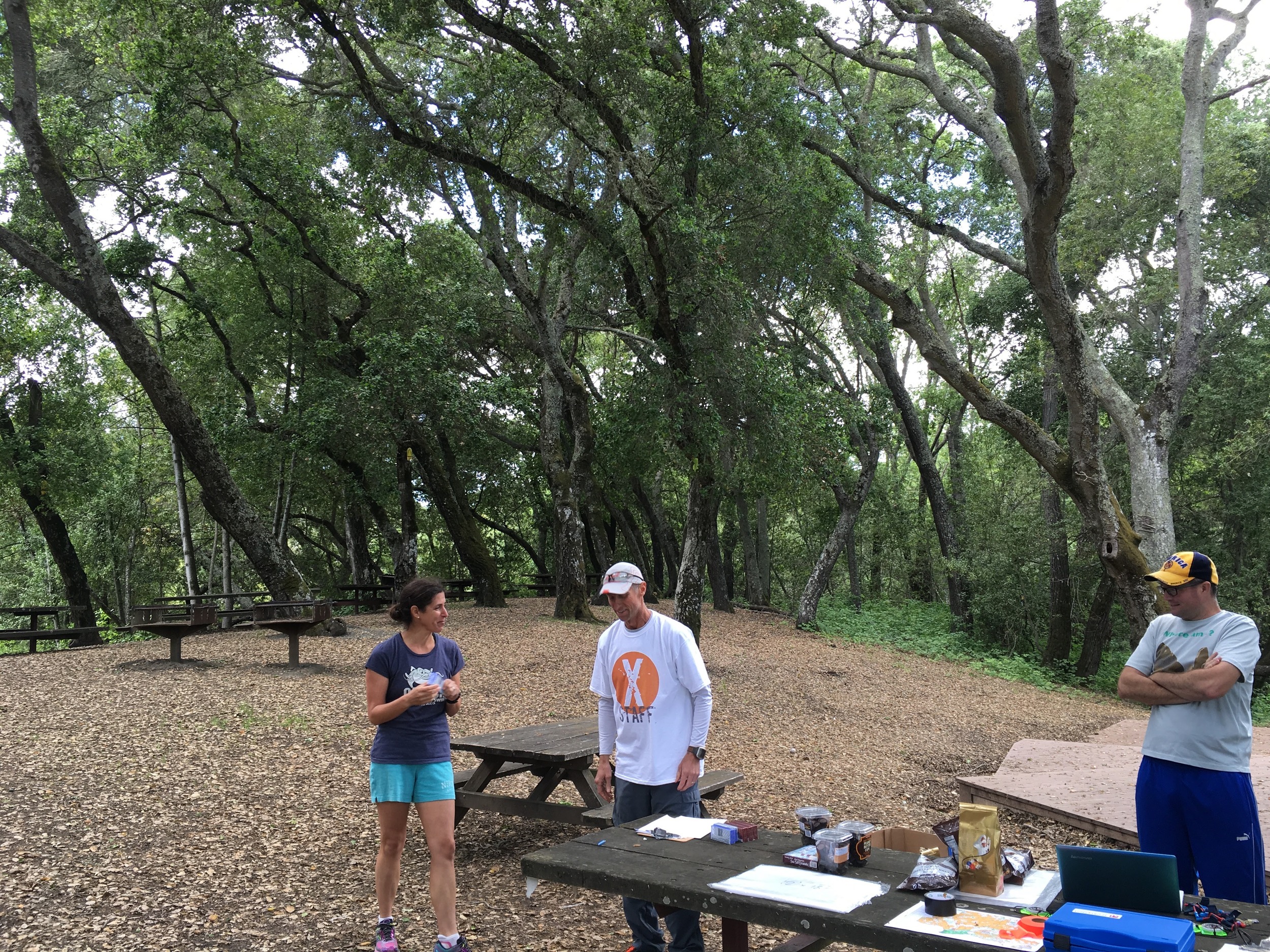
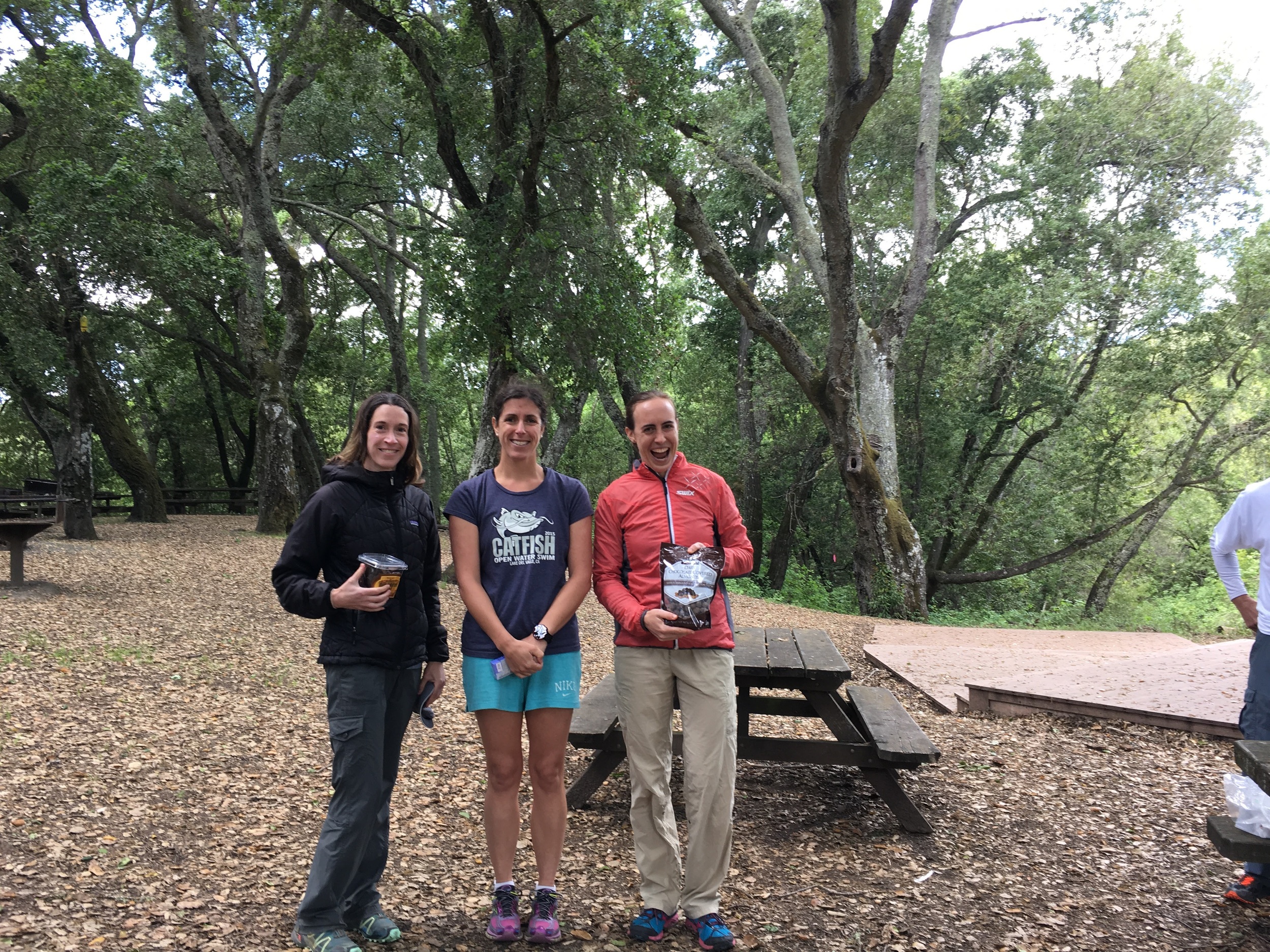
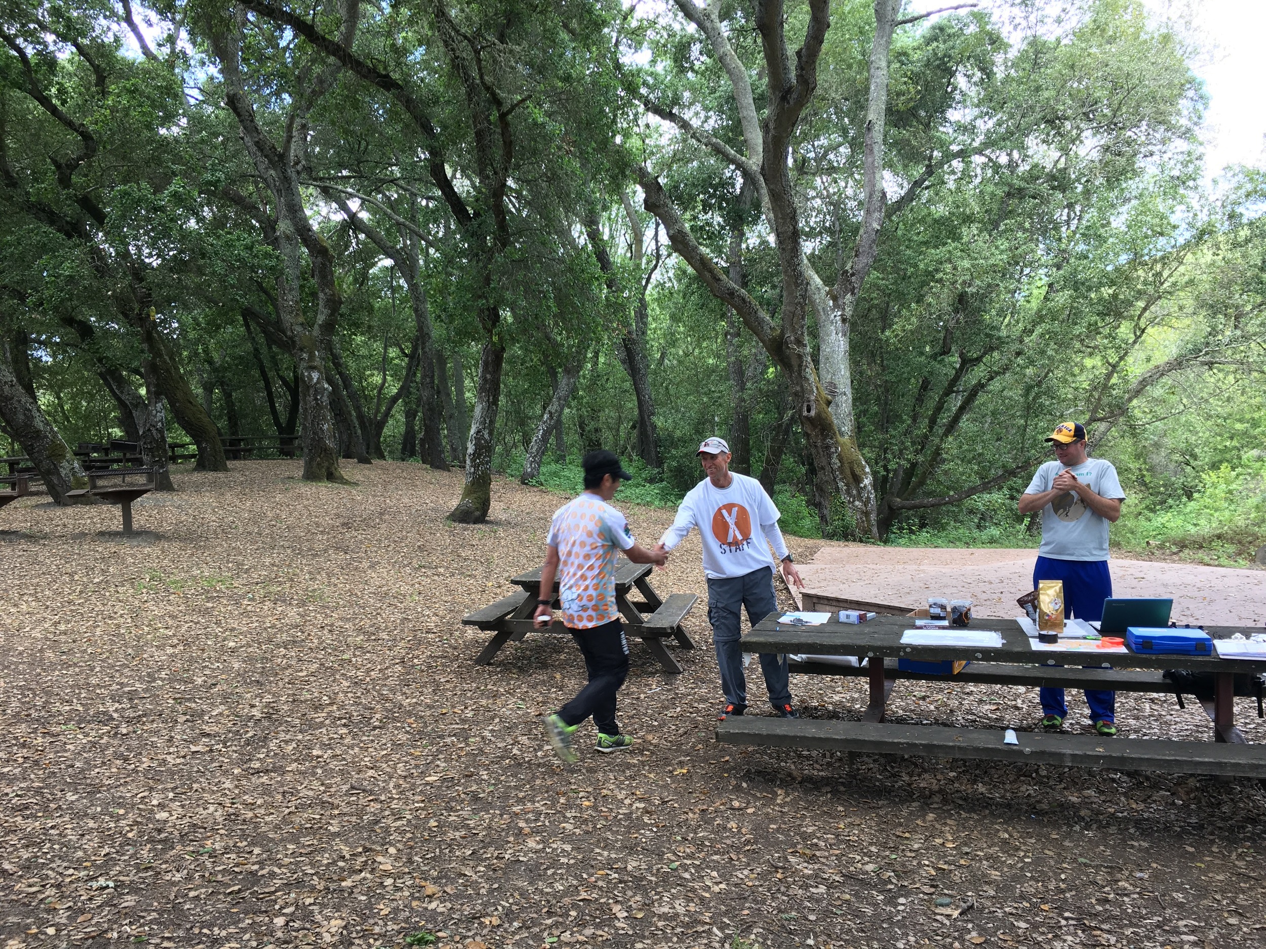
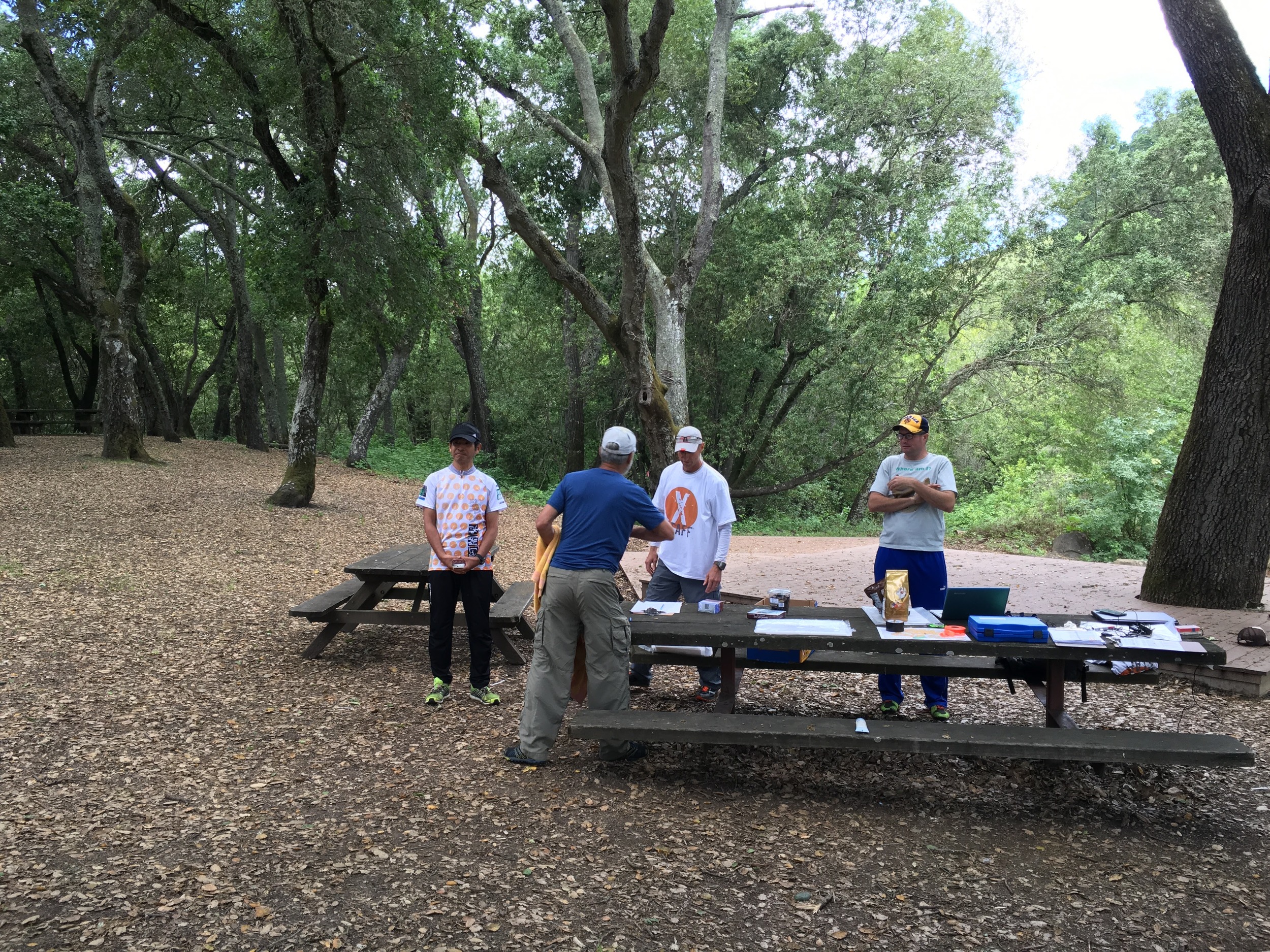
Big Basin Event Pictures
Pictures will be posted shortly.
How to Register for NAV-X Adventure Run
How to Register for NAV-X Adventure Run
Thank you for registering using the EventRegister system administered by Orienteering USA (OUSA)
Your age for determining divisions and pricing is defined as your age at the beginning of the year.
Registration HINTS:
Page 1
If you are an OUSA member, you can retrieve your personal contact info to fill out the form or if you are not a member, click "Non-Orienteering USA Member”.
Page 2
You enter your personal info as a non-member on the second page. The "club" field pertains to any local Orienteering club; it will also appear in the event results. Choose "none" if you are not a member. Timing is done with electronic punching (similar to chip timing) - an E-punch rental is included with your registration fee but you will need to check the "Will Rent E-punch" box. If you have your own E-punch, please include the number in the "E-punch Number" field.
page 3
Find your course and use the pull-down list to choose your division.
Please choose only one division on one course and leave the rest as "Not Competing".
Page 4
If you are an adult member of an orienteering club AND you have your own E-punch stick, please choose Yes to have the $5 discount applied to your entry. There is no member discount for juniors (19 & under).
You can choose to rent a compass, and provide an emergency contact.
Page 5
Confirm your details.
Page 6
Check box, enter name, then click "Save Signed Waiver".
Page 7
We accept payments using PayPal, the online payment system. NOTE: you CAN pay with a credit card through PayPal. Checks will NOT be accepted for pre-entry. Checks will be accepted day of event but at the higher day of event fees (see below). You will also have the option to register others and pay for multiple entries with one PayPal charge.
Refund Policy
Refund policy: 100% refund up to 10 days before event. Future race credit 1-9 days before event. No refunds for no-show.
Day of event fees
If you choose to register in person on the day of the event, the fees will be:
10-15km = $35/adult, $20/junior
15-20km = $40/adult, $23/junior
20-30km = $50/adult, $28/junior
30-40km = $65/adult, $35/junior
40-60km = $80/adult, $43/junior
Subtract $5 if you are an adult orienteering club member AND you have your own E-punch.
Send questions to info@navxchallenge.org
Briones NAV-X Challenge Series - Results
Briones NAV-X Challenge Series - Results
Thank you to all of our participants who took on our Briones NAV-X Challenge! You tackled a steep course on a beautiful day. Please find the full posted results below (click on the results you would like to view). Please let us know if you find any discrepancies of problems at info@navxchallenge.org.
2h Results - Full
4h Results - Full
If you tracked your route, and have a strava account, this is a fun way to visualize your run compared to others on the same course.
Pictures from event


High Sierra NAV-X Challenge Series - Results
High Sierra NAV-X Challenge Series - Results
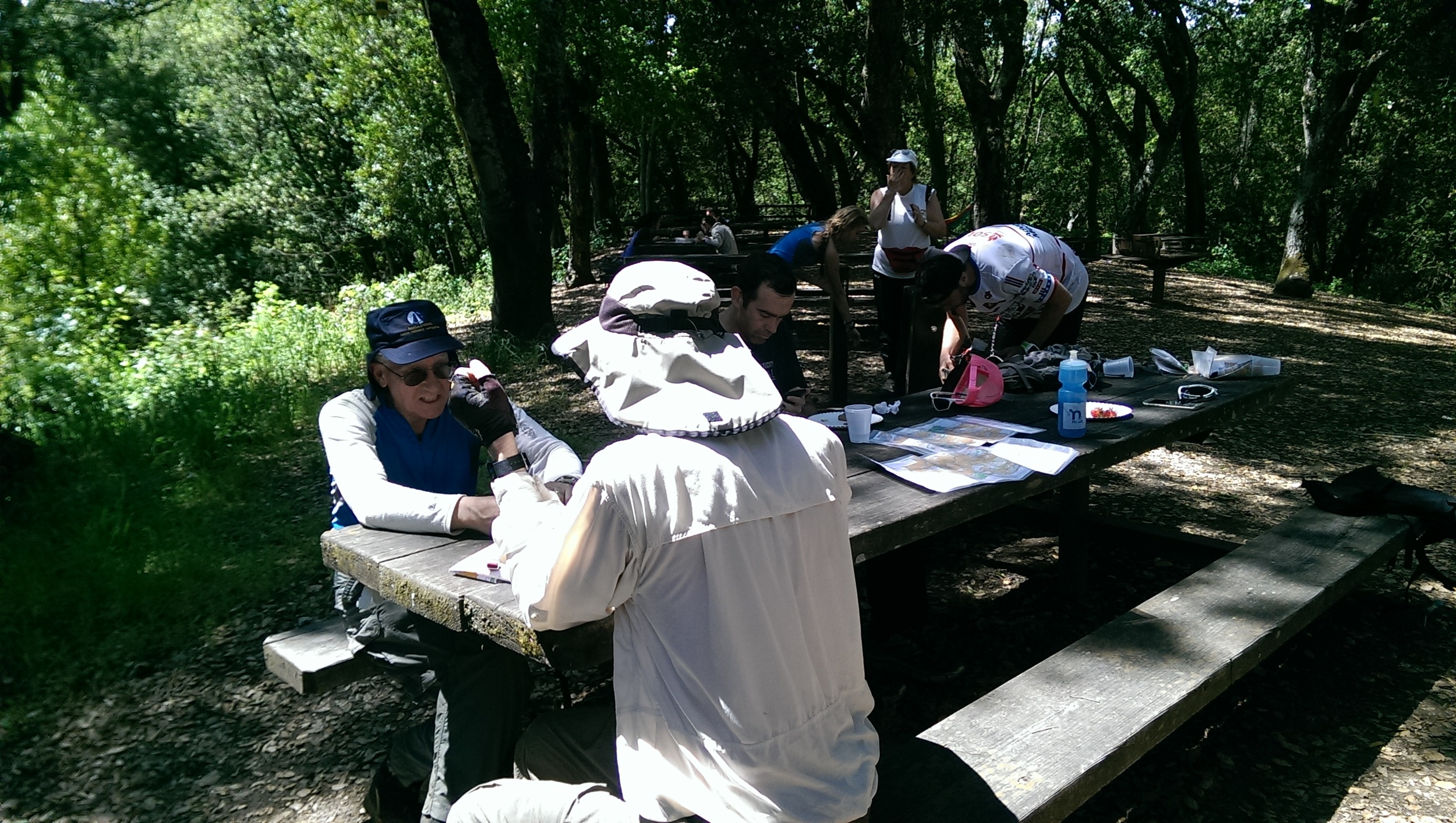
Thank you to all of our participants who took part in our High Sierra NAV-X Challenge! People came from near and far for the 2016 North American Rogaining Championships and Nav-X High Sierra 4/8 hr. We all enjoyed the perfect weather, great camaraderie, and hot food at the hash house; most also relished their adventure in this beautiful, wild and tough terrain. It was great to see familiar faces and welcome new people to the crazy world of map trekking/rogaining.
Please find the full posted results below (click on the results you would like to view). Please let us know if you find any discrepancies of problems at info@navxchallenge.org.
24 hr championship results
8 hr results
4 hr results
UPLOAD & compare your gps tracks - route gadget
I believe all involved were delighted by the map quality, which was the product of fantastic and hard work by Bill Cusworth. Concerns that the forest service had moved one of our meadow controls proved unfounded; if they did move one, it must not have gone very far. Everything seemed to be in the right place, with the possible exception of control 81 which may actually be in the lower clearing 100m SW of the circle. My apologies for that error.
This event, like most orienteering and map trek/rogaining events, came about as a result of significant volunteer efforts. The Nav-X team of Mats Jansson, Rex Winterbottom, Bill Cusworth, Heidi Cusworth, Andrew Peterson, and yours truly were happy and proud to bring this event about. We had help from a number of other volunteers. Jay Hann of Western Race Services offered his time and the use of his gear for free. He did an enormous amount of work buying food, bringing gear, setting up and taking down, and running the hash house. He also processed the results. Consider Western Race Services for your next event! Dave Edwards, Jonathan Campbell, Mats Jansson, Rex Winterbottom, and Jeff Lanam went above and beyond not only to staff the hash house during the small hours Sunday morning, but also to pick up controls and water after the event. Dave also lent me his truck to drive way out on an awful road and fix controls 37 and 103. Afsheen Mostofi and Bud Laird are, as I write, each getting ready for an exciting control pickup adventure, as they plan to spend a day out there getting the remote north and eastern controls. Thank you to Heidi Cusworth, Vicki Woolworth, Eric Robinson, and Ginny Laforme and the rest of the Nav-X team for help setting up on Saturday morning, and finally to Rex Winterbottom for awards and prizes.
As for the race, your course setter imagined a stampede towards the fast, southern area of the map, particularly by the 8h and 24h teams. In reality, the concentration of points in the tougher northern area was enough to pull most teams in that direction, at least initially. The wild, mostly roadless Tamarack Creek canyon proved a tough challenge, but many 24h and even some 8h teams continued through this area to the high lakes of the far northeast. Those that went south were treated to travel over mostly open rock and sand, scenic granite domes, with open forest mixed in. Several 24h teams even got out to the far east, which is very Western with cows grazing in meadows under dramatic rocky slopes and even a (working?) mine. Four hour teams were constrained by time to stay in the central area of the map, although many of the fastest managed to get to at least one high value control, such as 96, 100 or 112.
Congratulations to everyone who competed in this event! Map trek/rogaine is one of the tougher combinations of mental and physical exertion out there. Division top three were announced at the awards ceremonies, and kudos again to you! I have some of the 24h certificates at my house; please send me an email with your address and I will get that to you.
In the end, the overall winning teams combined excellent route planning with good execution. Peteris Ledins and Nikolay Nachev ended with an impressive 3840 points in the 24h division. They started to the north and largely cleared it out, then went east and cleared out the Dinkey Creek canyon area, and finally headed south for many controls on the granite. In the 8h division, the overall winners were Steven Douglas and Mark Hartell at 1470. They went south first, picking up all but the two southernmost controls, then looped back through the center and had time to pick up 94 and 84 at the end. Matej Sebo won the overall 4h with a ridiculous 1020 points, managing to reach control 112 in the Tamarack canyon via 84 and 94 and still loop back to get 88 and many other central points.
Special mention goes to those families and younger groups who participated: Victoria and Anna Campbell in the 24h, who stayed out all night (!); Jonathan and Peter Campbell, and Mark and Sarah Petersen in the 8h; Alison and Mareese Keane, the Clovis High AF JROTC, and Jodi, Doug, Dillon, and Lucie Hall in the 4h.
As a reminder, podium finishers for each division of the 24h event receive qualification for the World Rogaining Championships for several years starting in 2017. Check the website of the IRF, International Rogaining Federation, for details.
For more rogaining events in North America, check the OUSA rogaining calendar.
Along with some other orienteering clubs in the western part of North America, we at BAOC and Nav-X are attempting to initiate a yearly 24h Western NA rogaining series. We will be initiating and maintaining a lifetime standings table. Look for that in the near future.
Finally, the 2016 NAV-X Challenge Map Trekking (aka Rogaining) Series continues with event #4 on Saturday October 1st, in the wild and expansive Pacheco State Park, an hour South of San Jose, CA. Mark Prior is designing 3 and 6 hr courses on an excellent BAOC map, yours for the taking! Check out more information here.
Thanks again for coming and hope to see you another time!
Deer Creek Hills NAV-X Challenge Series - Results
Deer Creek Hills NAV-X Challenge Series - Results
Thank you to all of our participants who took part in our Deer Creek Hills NAV-X Challenge on Nov 6, 2016! After a number of rainy days which softened the ground and caused new growth, 83 participants were treated to perfect running weather on a challenging course set by Heidi Cusworth. Skies were overcast most of the morning keeping the temperatures down. This was the first time this venue was used for a navigation sport event and I'm happy to report that everything went superbly. Everyone enjoyed a new map in fantastic new terrain and were treated to a brand new high tech results display from Jay Hann of Western Race Services. Thanks also to Gold Country Orienteers for co-producing this event and to Bay Area Orienteering Club for providing all the control stations, bags and stands.
Results Highlights
Overall highest scores on the 2 hr course:
Rex Winterbottom (BAOC/Terraloco) - 1,400 points
Paul Ort (BAOC) - 1,340 points
Tapio Karras (BAOC) - 1,220 points
On the 4 hr course, the top three were:
Aron Walker (BAOC) - 2,350 points
Huon Wilson (BAOC) - 2,320 points (1.5 min faster)
Lubomir Sebo (BAOC) - 2,320 points
We would like to thank the following volunteers:
Mats Jansson – Registration, equipment, setup, takedown, control setting and control pickup
Jay Hann - ePunch and results
Heidi Cusworth – Course designer and food planner
Jonas Libell – Parking and new participant instruction
Rex Winterbottom - Food/awards shopping
Greg Favor- Control pickup
Jialing Chen and Keying Yu – Control pickup
Ginny Laforme and Eric Robinson - Results display setup
And lastly, we wanted to recognize Fred Tracy from Sacramento Valley Conservancy (land managers), who was on site with us all during the event (over 10 hrs) and Saturday when we were putting out the control markers (9 hrs). He also graciously offered to drive us out to the water stop on Saturday and picked up the leftover water on his own while we were picking up control markers. Fred was onsite with us in order to satisfy the requirements of the Sacramento Valley Conservancy's safety and operational policies.
Next on the Nav-X schedule is NAV-X #6 in collaboration with terraloco - Go Wild! Red Rock Canyon at Red Rock Canyon State Park near Mojave, CA. This is also the season finale for the NAV-X Challenge Map Trekking Race Series.
Bill Cusworth
Event director, course setter, and mapper
Please find the detailed full posted results below (click on the results you would like to view). Please let us know if you find any discrepancies or problems at info@navxchallenge.org.
2H results
4h results
Red Rock Canyon NAV-X Challenge Series - Results
Red Rock Canyon NAV-X Challenge Series - Results
Thank you for participating in the Go Wild! Red Rock 3hr, 6hr!
3hr Results
6hr Results
Check out this cool video from The French Team's run at Red Rock Canyon
Top Results on the 3 hr course:
1. Jeremy Colgan - 1,020 points
2. Vladimir Gusiatnikov - 935 points
3. Aleksey Sabunin - 855 points
Top Results on the 6 hr course:
1. Dennis Wilkinson - 1,750 points
2. Lubomir Sebo - 1,710 points
3. Mats Jansson & Benjamin DeWitt (Atlas Trail Series) - 1,590 points
50 MPH winds Thursday = checkpoint trouble
Very sorry about the checkpoint markers that blew over and the bags that got ripped off the stands - I am missing a few bags now. Little did I know, between the 2 calm weekends, a 50 MPH windy day happened on Thursday, wreaking havoc on many of your checkpoints. I am impressed with your fortitude and determination in finding them, and apologize for any wasted time. If I had known about Thursday before you started, I would have mentioned the possibility of flattened checkpoints in the “pre game speech.” If they were all standing proud, Dennis Wilkinson and perhaps a few others would have cleared the course, and probably closer to 5 hours.
Since I set most of the checkpoints the weekend before, and I know about the wind that can kick up, most bags were purposefully not dangling. Having them tied up and anchoring them in the bushes does 3 things: 1. There is soil the stand can penetrate - everywhere else the ground is too hard. 2. It helps guard against the wind yanking them, but 50 MPH might be too much to prepare for. 3. It reduces visibility from far away, so stray hikers and fat-bikers (I saw some roaming around) are less likely to get curious and yank them; this happened to 2 checkpoints at our Nav-X High Sierra event last summer. I could have said more about this in the pre-game speech. Like #141 which was purposefully flat so passers-by would not come up and pluck it.
Dangerous Hummus
I hope you are all okay, if you ate the hummus. Costco called me today and reported there is a recall on the hummus I bought Saturday night. If you took some home, you are supposed to dispose of it. No cases have been confirmed, but Listeria bacteria was found somewhere in the manufacturing facility, and Sabra (which makes the Hummus for the Kirkland brand) wants to be extra cautious.
Please let us know if you find any discrepancies or problems at info@navxchallenge.org.
Cheers,
Rex
Pacheco NAV-X Challenge Series - Results
Pacheco NAV-X Challenge Series - Results
Thank you to all of our participants who took part in our Pacheco NAV-X Challenge! We had another beautiful day to tackle a challenging course set by Dennis Wilkinson. Thanks to BAOC for co-producing this event. An extended Indian Summer provided about 50 participants with beautiful weather.
Results Highlights:
Overall highest scores on the 3 hr course:
- Jiri Hruska (Czech) - 1,740 points
- Tapio Karras (BAOC) - 1,540 points
- Tommy Ingulfsen (BAOC) - 1,520 points
;interesting to note that the top two spots held by Masters runners (50+ years old) - "old guys rule" comes to mind.
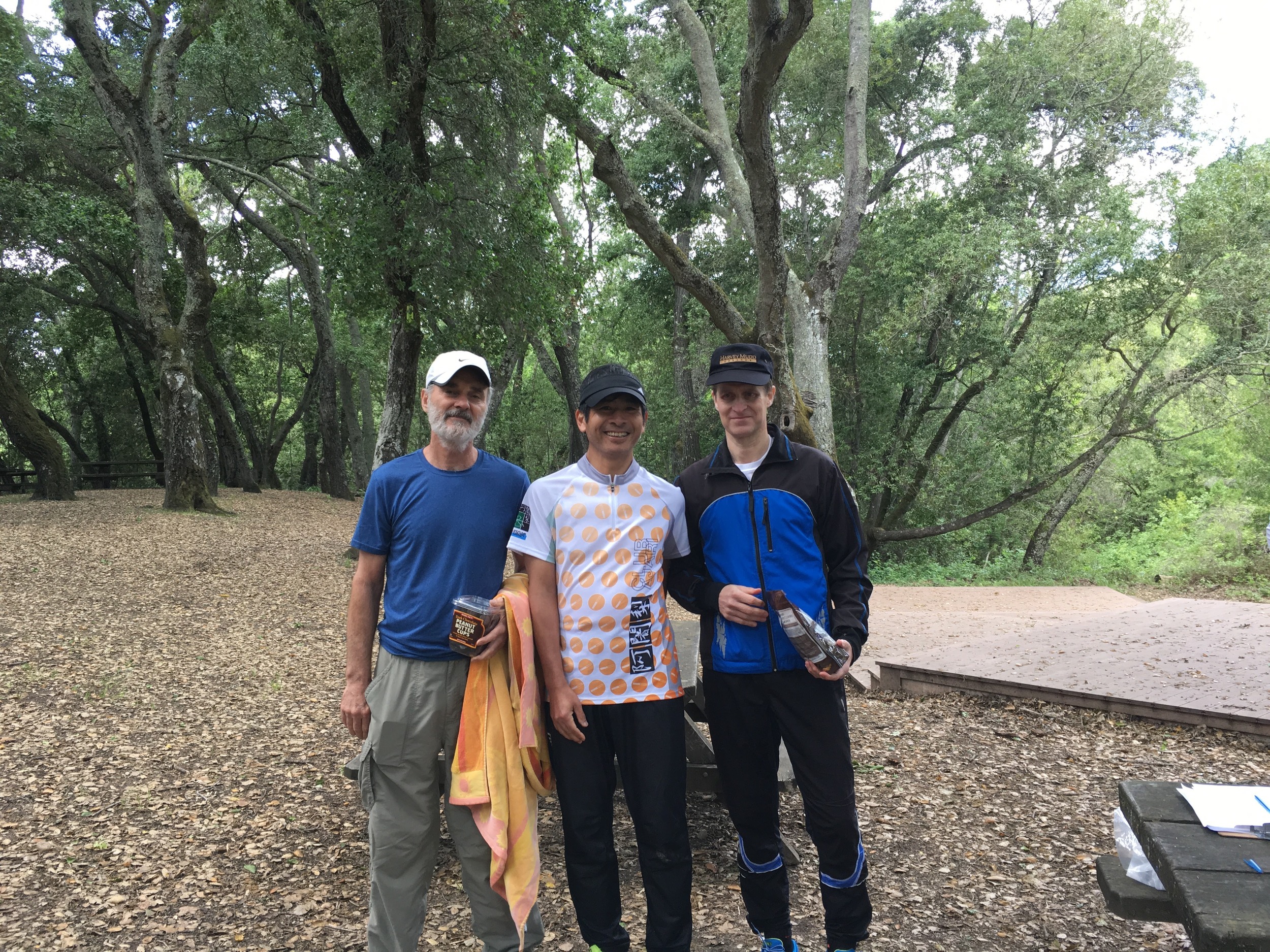
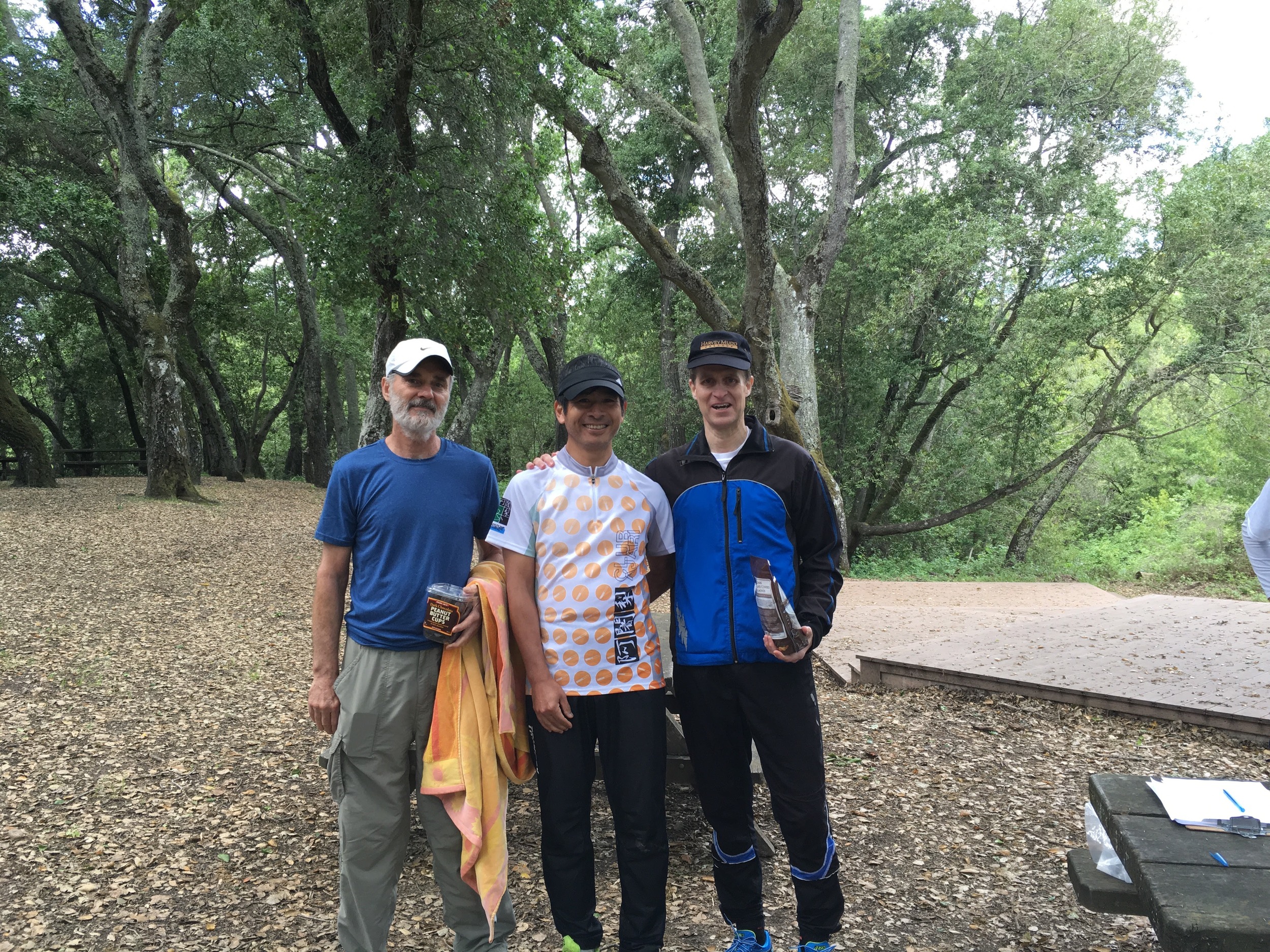
On the 6 hr course, the Sebo family cleaned up (and walked off with a truck load of chocolate)! Top three were:
- Matej Sebo (BAOC) - 2,960 points
- Lubomir Sebo (BAOC) - 2,460 points
- Aron Walker (BAOC) - 2,430 points
;Matej must like this place - he won the 6 hr rogaine here 2 years ago also.
This event would not have been possible were it not for the following volunteers:
- Jay Hann - ePunch and results and control pickup
- Rex Winterbottom - Food/awards shopping, registration and control pickup
- Vicki Woolworth - Control pickup
- Mats Jansson - Equipment and control pickup
And lastly, wanted to recognize Betty Wong from the state park, who graciously offered to drive us out to the water stops, as well as taking control picker uppers to their start locations.
Please find the detailed full posted results below (click on the results you would like to view). Please let us know if you find any discrepancies of problems at info@navxchallenge.org.
3H results
6h results
How to use event register for nav-x
How to use event register for nav-x
using the OUSA Event Register system to register for nav-x events
Even if you are part of a team, each person needs to register separately. Your age for determining divisions and pricing is defined as your age at the beginning of the year. This will ensure that you are entered in the same division for the whole season.
Registration HINTS:
Page 1
We are using Orienteering USA’s free registration system called “Event Register” but you DON’T need to be an OUSA member to register. If you are an OUSA member, you can retrieve your personal contact info to fill out the form or if you are not a member, click "Non-Orienteering USA Member” and enter you data manually.
Page 2
You enter your personal info as a non-member on the second page. The "club" field pertains to any local Orienteering club; it will also appear in the event results. Choose "none" if you are not a member. Timing is done with GPS App - no need to enter SI#.
page 3
Find your course and use the pull-down list to choose your division. Prices for GPS courses are as follows (in-person events have their own price structure):
2-hr: $12 3-hr: $14 4-hr: $17 6hr: $20 8-hr: $25
Please choose only one division on one course and leave the rest as "Not Competing".
All members of a team should enter the same division.
Page 4
If you are an adult member of an orienteering club, please choose "Yes" for the club member discount. Discounts are $2. There is no additional discount for OUSA federation membership (even though this information is requested in the contact details).
Provide team details. If you are registering as a team, please give your team name (if you can't think of a team name, just use your last names). Be sure that all members of a team use the SAME TEAM NAME so that we can match up the entries. In order to be eligible for Junior or Masters divisions, all members of a team must be 13-19 (Junior) or 50+ (Masters) as of Jan 1 of this year.
Page 5
Confirm your details.
Page 6
Check box, enter name, then click "Save Signed Waiver".
We accept payments using PayPal, the online payment system. NOTE: you CAN pay with a credit card through PayPal. You will also have the option to register others and pay for multiple entries with one PayPal charge.
Page 7
Refund Policy
No refunds after receiving the course files (pdf). 100% refund up to that point.
Nav-X Adventure Run
A full listing of Nav-X Adventure Runs in 2019, located in beautiful and interesting Northern California.
Nav-X Adventure Run
A full listing of Nav-X Adventure Runs in 2019, located in beautiful and interesting Northern California.
Upcoming Events
What is Adventure Running?
Adventure Running is a “Navigation Sport” that has elements of a few other sports and activities like Trail Running, Fell Running (XC hill running), Hiking, Orienteering and Geo Caching. Adventure Running is a distance based trail race, where you will need to use a map and compass to stay on course, no flagging to guide you. The navigation is not difficult, with courses sticking primarily to trails, but expect some short excursions off trail to snag a checkpoint. There will be checkpoints guiding you from start to finish, and you will use a finger chip to electronically punch each checkpoint to prove you covered the full course. There may be a few route choice options, so understanding the map will be important…and if you really want to challenge yourself, maybe going off trail will prove the quickest route at times? If you feel like you may need a little extra help while out on the course, feel free to bring along an optional GPS app (Gaia, Avenza, Google Maps, etc…).
In short, Adventure Running is “Trail Running with a Twist” for adventurous runners.
Want to know more?
Read our Adventure Running Flyer
Registration
Registration
Please complete the form below
2023 Map Trekking Calendar
For 2023, we will be offering a mix of GPS and in-person courses (2h-6h in length) from March through November.
2023 Map Trekking Calendar
For 2023, we will be offering a mix of GPS and in-person courses (2h-6h in length) from March through November.
The 2023 NAV-X race season is here!
The plan for 2023 is to hold three in-person events, including the World Rogaining Championships at Tahoe in July! We also have four GPS events planned, each with a two month competition window.
Map trekking races in beautiful places
Four quality GPS courses and three in-person events that will test your navigation skills, stamina and wit.
2023 Race schedule
Each GPS course is open for two months: pick any day during those two months to be your race day. You can register and run after the end date, but it won’t count toward official results.
March 1 - April 30: Annadel SP (Santa Rosa, CA) - 3h/6h GPS - EVENT DETAILS - RESULTS
April 1 - May 31: Auburn SRA (Cool, CA) - 2h/4h GPS - EVENT DETAILS - RESULTS
April 30: Pacheco SP (Hollister, CA) - 3h/6h Traditional In-Person - EVENT DETAILS - RESULTS
July 29-30: World Rogaining Championships (co-produced with BAOC) (Northstar Resort, Truckee, CA) - 4h/24h Traditional - EVENT DETAILS - RESULTS (WRC 24-hr) - RESULTS (4-hr)
September 1 - October 31: Sunol (Sunol, CA) - 3h/6h GPS - EVENT DETAILS - RESULTS
October 1 - November 30: Cache Creek (Clearlake Oaks, CA) - 2h/4h GPS - EVENT DETAILS - REGISTER
October 29: Briones (Lafayette, CA) - 2h/4h Traditional In-Person - EVENT DETAILS - RESULTS
Can you still run GPS courses from PREVIOUS YEARS?
Yes you can! But you will need to purchase a NAV-X Club Membership. For $25, you get access to all our 2021 and 2022 official GPS courses until the end of the year. Here’s what you get:
Access 13 quality GPS map trekking courses from the 2021 and 2022 series
Access Pacheco SP 2023 course after the in-person event has taken place
A pair of NAV-X arm warmers (select size during sign-up)
Discounted entry fees to NAV-X 2023 official events as well as other Orienteering club events
After signing up, you will receive an email with instructions for how to access the archived courses.
Free Local GPS Training courses
The MapRun app for GPS-based timing is pretty easy to use and intuitive. But if you want to do a dry-run, we will also have a few training courses available for free in different locations, in order to allow everyone to get used to the app before doing a “real” course that is part of the race season. Check back here as the other training courses become available.
Peninsula/South Bay: Arastradero @ Palo Alto (1h/2h) - AVAILABLE NOW
Sacramento area: Mississippi Bar @ Orangevale (1h/2h) - AVAILABLE NOW
East Bay: Joaquin Miller @ Oakland (1h/2h) - AVAILABLE NOW
How DO GPS COURSES Work?
All you need is a smart phone running either iOS or Android. Here are the basic steps:
Before race day
Sign up online using the links in the schedule above. (you can decide on your race date later) - within 24 hours, you will receive a confirmation email with links to the map files and course instructions.
If you haven’t already done so, Install the MapRun app, ver. 6 or 7.
On your phone, load the chosen course when you have reliable Internet service.
On race day
When you are ready to start your run, open the app and walk toward the Start location until the app beeps. This starts the race clock.
Run the course - the app will beep at each checkpoint you visit. You can keep phone packed away while you run. Keep in mind the following as you run:
Be respectful of other park visitors
Practice Leave No Trace (LNT)
Have a safety plan (tell someone where you are going, ideally run with someone, bring first aid kit, etc.)
Run to the Finish, the app will beep, telling you that you have finished your run.
After race day
Final official results will be posted and sent out via email to all participants within a few days of the end of the 2-month competition window.
You can also view your splits and track in the app or online, and after the course has closed, you can also compare your checkpoint sequence, splits and GPS tracks with fellow runners (Route Gadget)
How do GPS events differ from regular events?
As with most things, there are pros and cons, and in this case there are in fact a surprising number of advantages.
What’s great about it?
Can set courses where it’s hard to otherwise have large group events
Can have Start/Finish locations better suited to the course (example Cache Creek we can Start/Finish in the middle)
Easier and less costly to organize, resulting in...
...lower race fees (much lower!)
Can do the course when it fits your schedule. Courses will be open for an entire month.
A wealth of post-race data and route analysis, including control sequence, route, time tracking on legs, etc.
What’s different/challenging?
Won’t be able to socialize with other racers around the food table - you provide your own post-race food and refreshments.
You have to print your own maps (we provide PDF files).
We can’t enforce a time cap on route planning (this may be perceived as a benefit to some).
You’ll be waiting for a beep from your phone, rather than looking for an orange/white flag (we will mark with biodegradable flagging but no guarantee it will be there all the time - other visitors, cows or deer may remove)
Individual safety preparations become critical as there will not be any race organization at the venue - you’re it! As a result, we will not be doing anything longer than 8 hours using the GPS system.
We think the Pros outweigh the Cons and think you will really enjoy racing this way. We look forward to watching the leader boards as the season gets underway. Adventure on in 2023!
The NAV-X Team
Register for nav-x 2023 courses
Register for nav-x 2023 courses
first timers: read these important registration instructions
2023 gps courses (available for official results & series points)
Refund Policy
No refunds after receiving the course files (pdf) the day before the event window opens. 100% refund up to that point.
GPS event fees
Here are the (sharply reduced for GPS style) fees for signing up:
2 HR = $12
3 HR = $14
4 HR = $17
6 HR = $22
8 HR = $27
Send questions to info@navxchallenge.com